A 360-degree panorama with Flat Top Mountain at left, Notchtop Mountain [summit at 12129 ft/3697 m] at center, and Joe Mills Mountain at right.

Early morning light breaks over Bierstadt Lake.


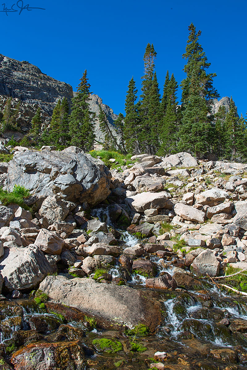
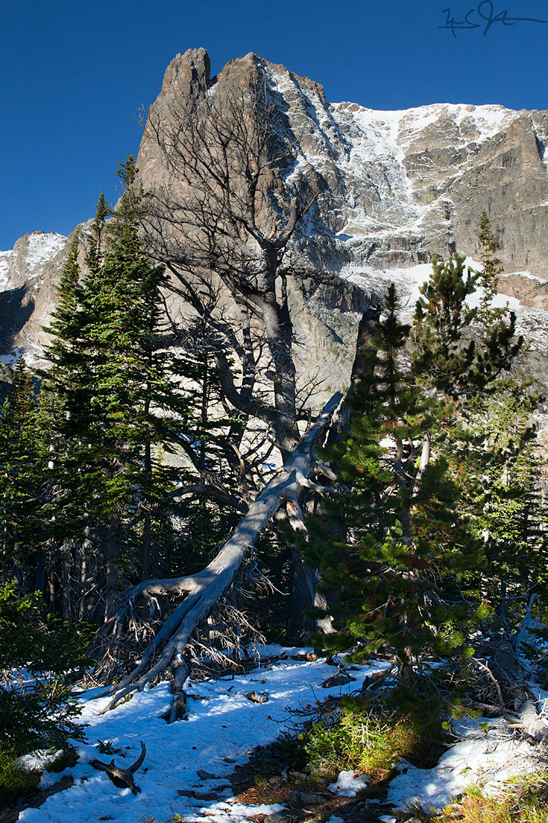
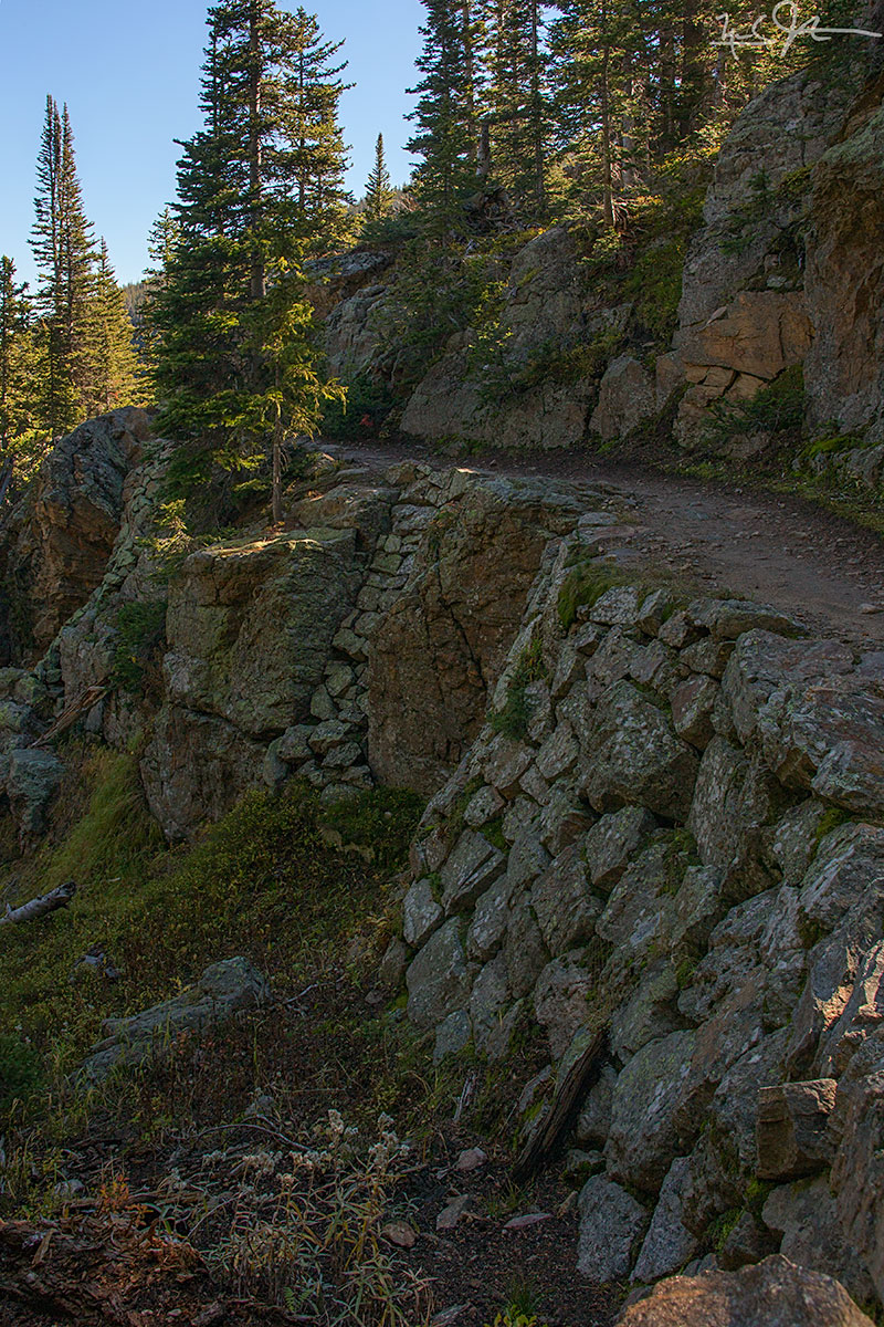
A first glimpse of Notchtop Mountain from the trail as it crosses a talus slope at around 10,500 feet.
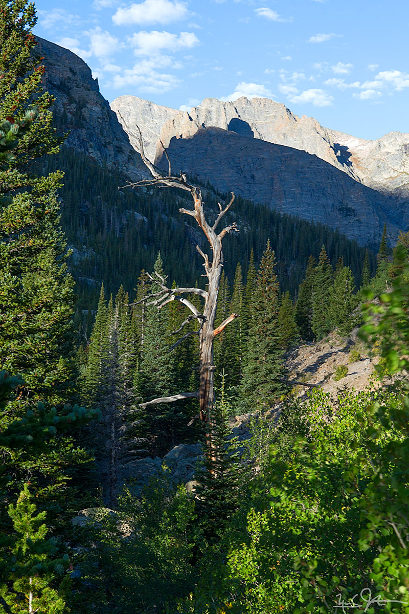
Tree silhouetted against Notchtop Mountain.

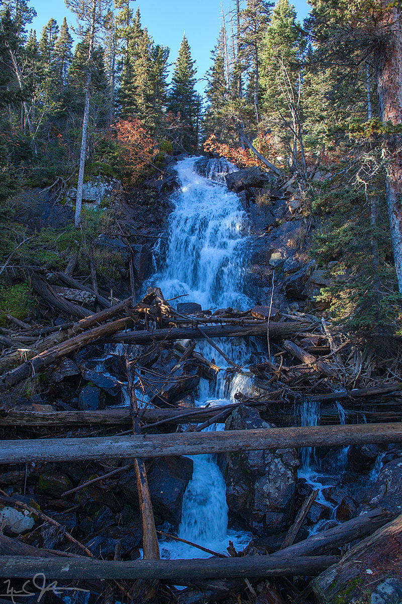
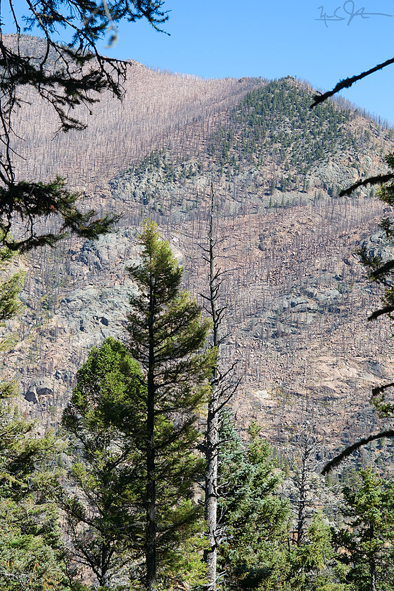
Ice fall.
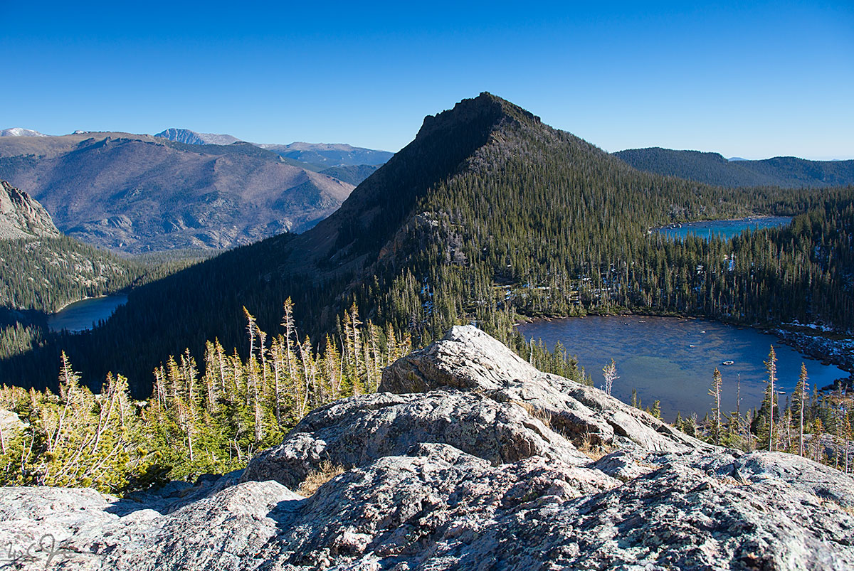
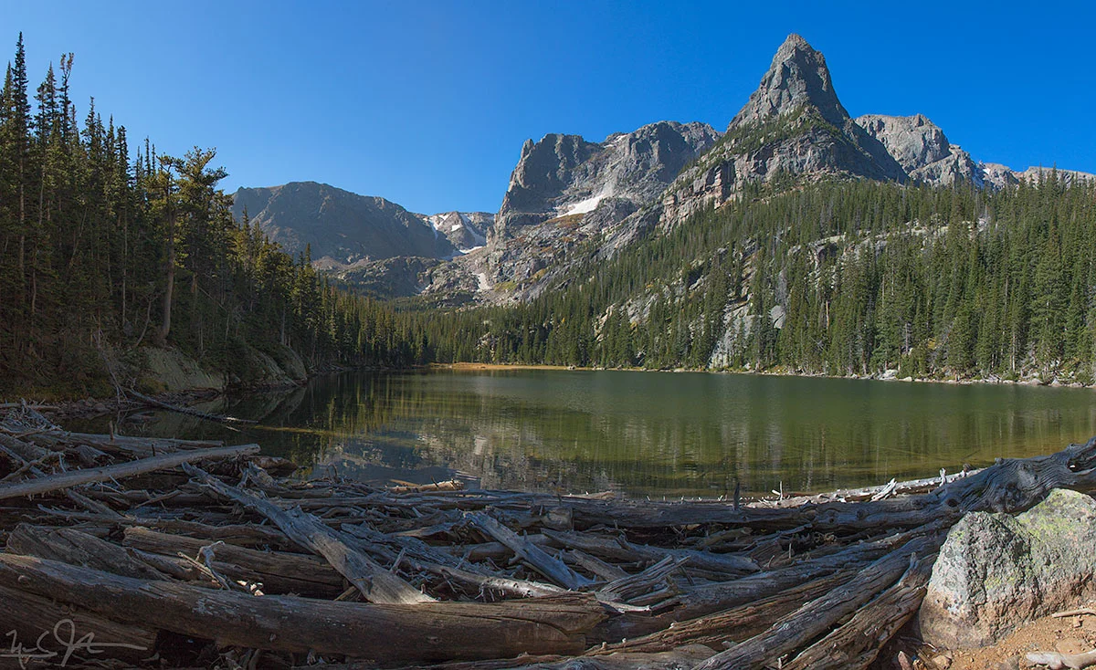
Lots of lakes: Odessa Lake at left, Lake Helene in the foreground at right, and Two Rivers Lake in the background at right. Joe Mills Mountain at center.


Bandits [in this case, Canada jay or gray jay, Perisoreus canadensis] are always ready to grab a treat - hang on to your snacks!

Coming back down the trail, a view southward towards Glacier Gorge, with the Glacier Knobs in the mid-ground and Long's Peak, Keyboard of the Winds, Pagoda Mountain, and Chiefs Head Peak on the horizon. The east end of Bear Lake is visible in the foreground at right.


![A wider panoramic view includes Long's Peak [elevation 14,259 feet] visible between the two pine trees at left.](https://images.squarespace-cdn.com/content/v1/5005dbf284aebe9f4d09d4f5/1412381375654-TXINMPKB0XXJZVJT7S42/image-asset.jpeg)


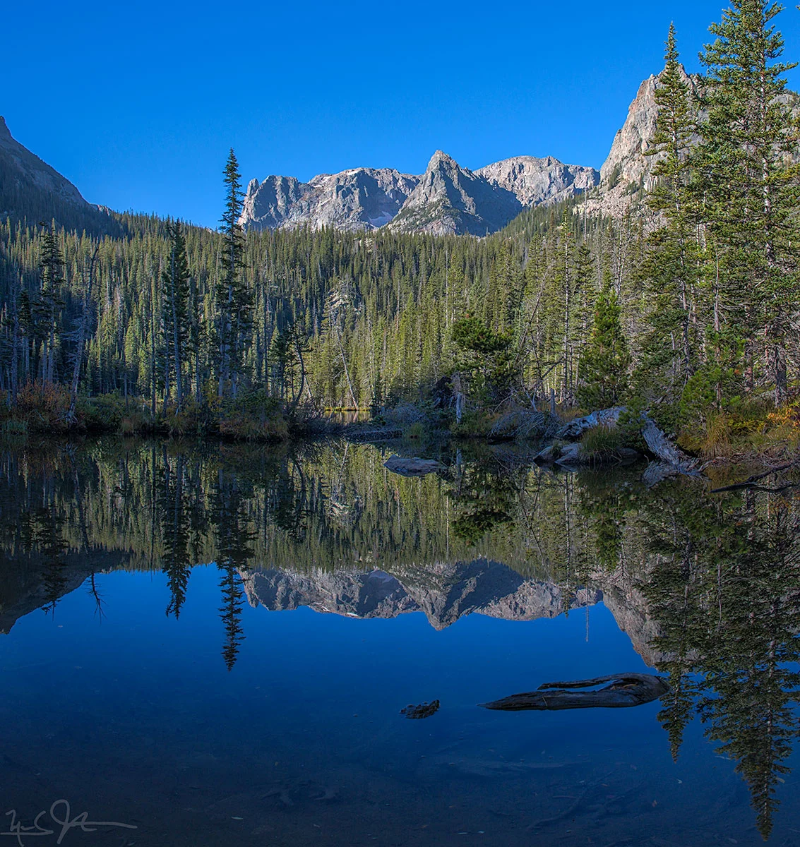
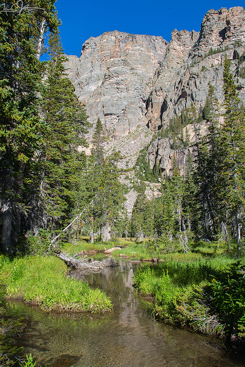
![The approach to Odessa Lake along Fern Creek is spectacular - Notchtop Mountain [summit at about 12,160 feet] at center.](https://images.squarespace-cdn.com/content/v1/5005dbf284aebe9f4d09d4f5/1411691121900-URJ2PRFPRBO0DE21BIYS/image-asset.jpeg)

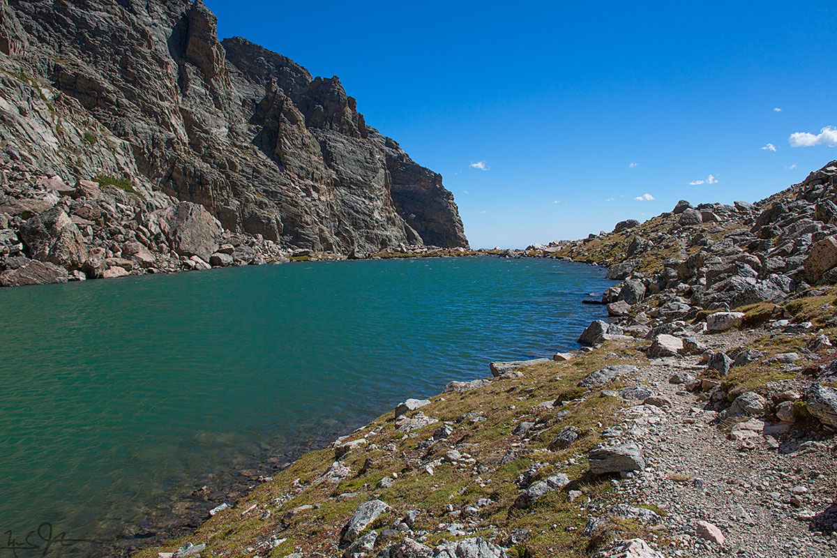

![From the eastern lip of Andrews Tarn, looking down the talus slope, with a blue sliver of The Loch [elevation 10,180 ft] visible about a mile away.](https://images.squarespace-cdn.com/content/v1/5005dbf284aebe9f4d09d4f5/1409876033036-MFPGTVURMGKY5G5CH6VE/image-asset.jpeg)