The trail from the Wild Basin Trailhead [at left on the map view which looks from north to south, and at right in the elevation profile] rises from 2589 m [8,494 ft] to 3340 m [10,958 ft] over a length of about 6.4 miles to Bluebird Lake [at right on the map].
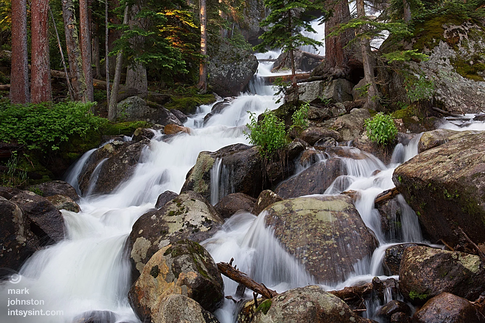
First stop of the morning at Calypso Cascades, 1.9 miles up the trail.

The Calypso Cascades from another perspective.

Blue Columbine, Aquilegia caerulea, state flower of Colorado.

Blue Columbine, Aquilegia caerulea, state flower of Colorado.

Ouzel Falls, 2.7 miles in. The trail crosses Ouzel Creek just below the falls, but the wooden bridge was carried away in the deluge of September 2013.

New i-beams and decking planks positioned for a rebuild of the bridge to cross Ouzel Creek.

Isolation peak in the distance. Below it lies Bluebird Lake.

Indian Paintbrush, Castilleja integra.

Copeland Mountain, whose smooth brow yields to a very rugged northwest face.

Dead giant.


Five Stamened Mitrewort, Mitella pentandra. Saxifrage family.

Five Stamened Mitrewort, Mitella pentandra. Saxifrage family.

Spring Beauty, Montia chamissoi.
![American Globeflower [buttercup family], Trollius laxus.](https://images.squarespace-cdn.com/content/v1/5005dbf284aebe9f4d09d4f5/1405520310949-67QSZWT1V1S1Q8H7Z9T2/image-asset.jpeg)
American Globeflower [buttercup family], Trollius laxus.

Lots of Glacier Lilies in bloom at around 10,000 feet.

Glacier Lilies, Erythronium grandiflorum.
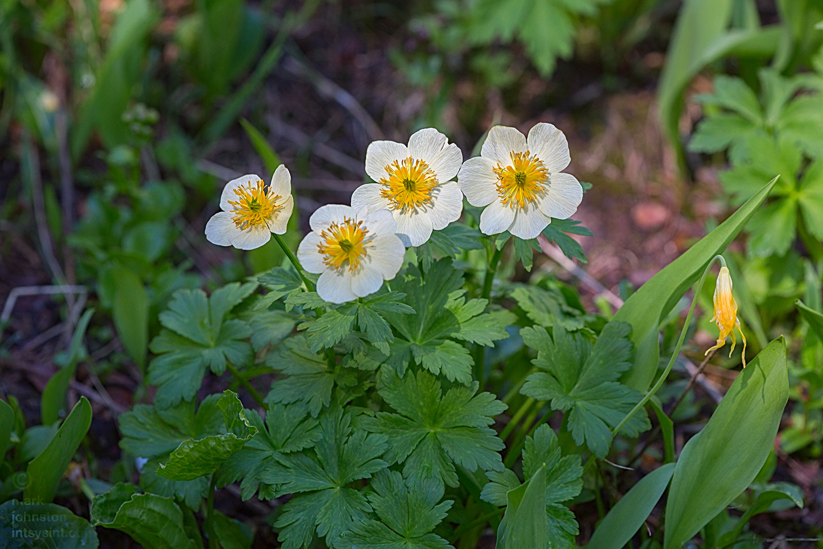
American Globeflower, Trollius laxus.


The head of St. Vrain Creek as it emerges from a snow bank below Bluebird Lake.
A cascade disappears beneath the snow.

Bluebird Lake, elevation 10,978 ft.