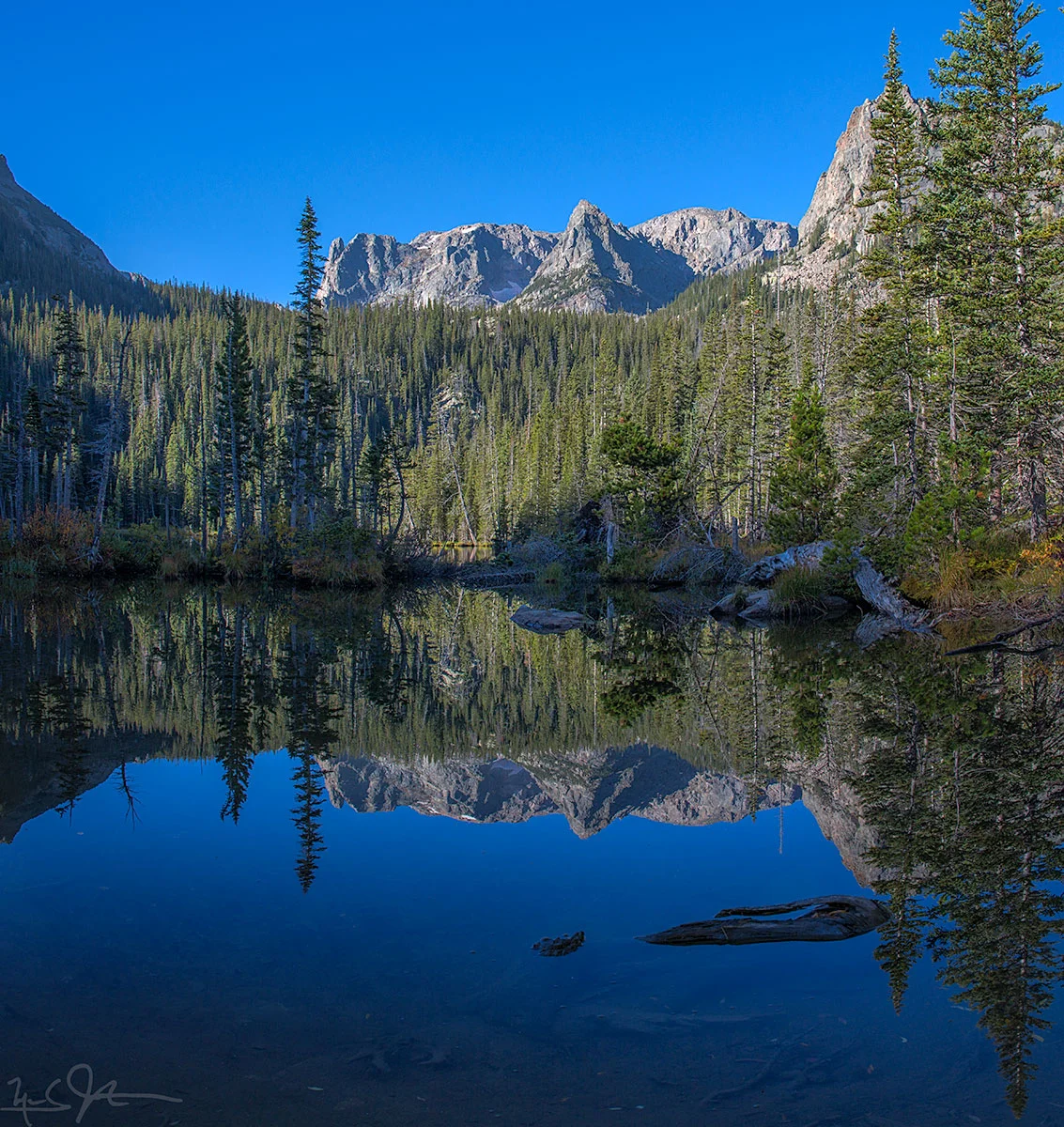
Dream Lake with a splash of morning sunlight.
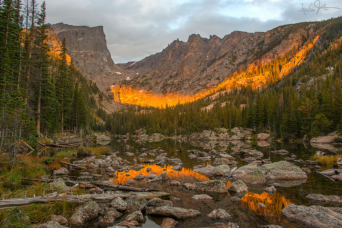
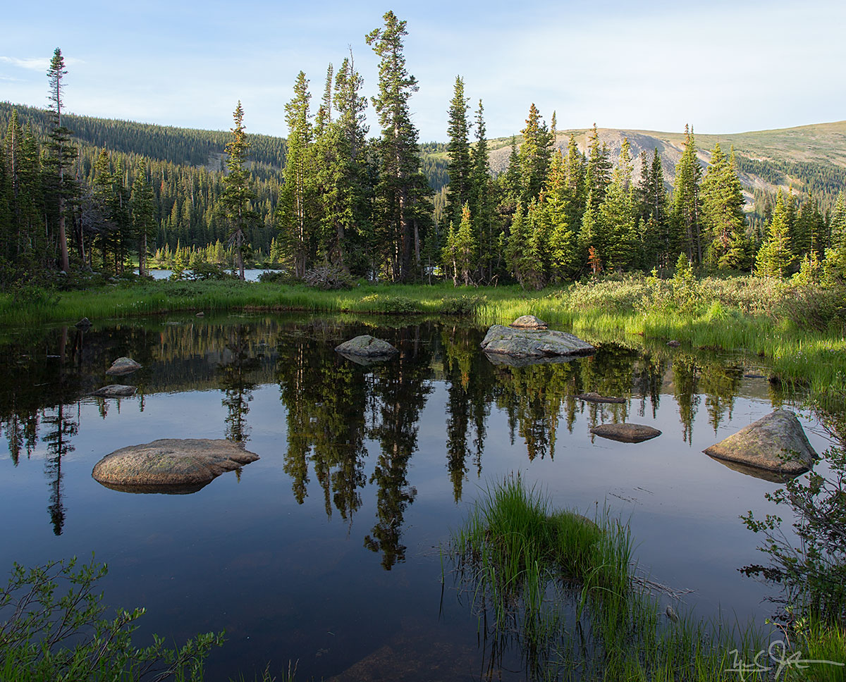
Bear Lake at dawn.

Bear Lake at dawn.
Dream Lake with a splash of morning sunlight.
About 3.8 miles from the Fern Lake trailhead at the west end of Moraine Park, climbing from about 8000 feet to 9,500 feet to reach Fern Lake. From there it is another mile or so, and another 500 feet of elevation gain, to reach Odessa Lake at just above 10,000 feet.

Fern Lake. Odessa Lake lies just beneath Notchtop Mountain and the Little Matterhorn, both in the distance at right.

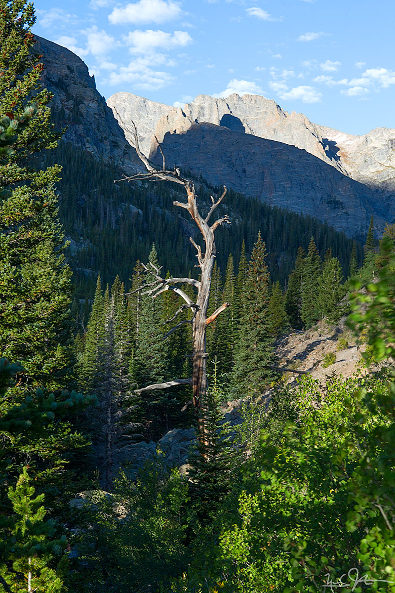
Morning sunlight on the canyon walls above the Fern Lake trail.

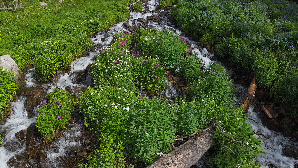
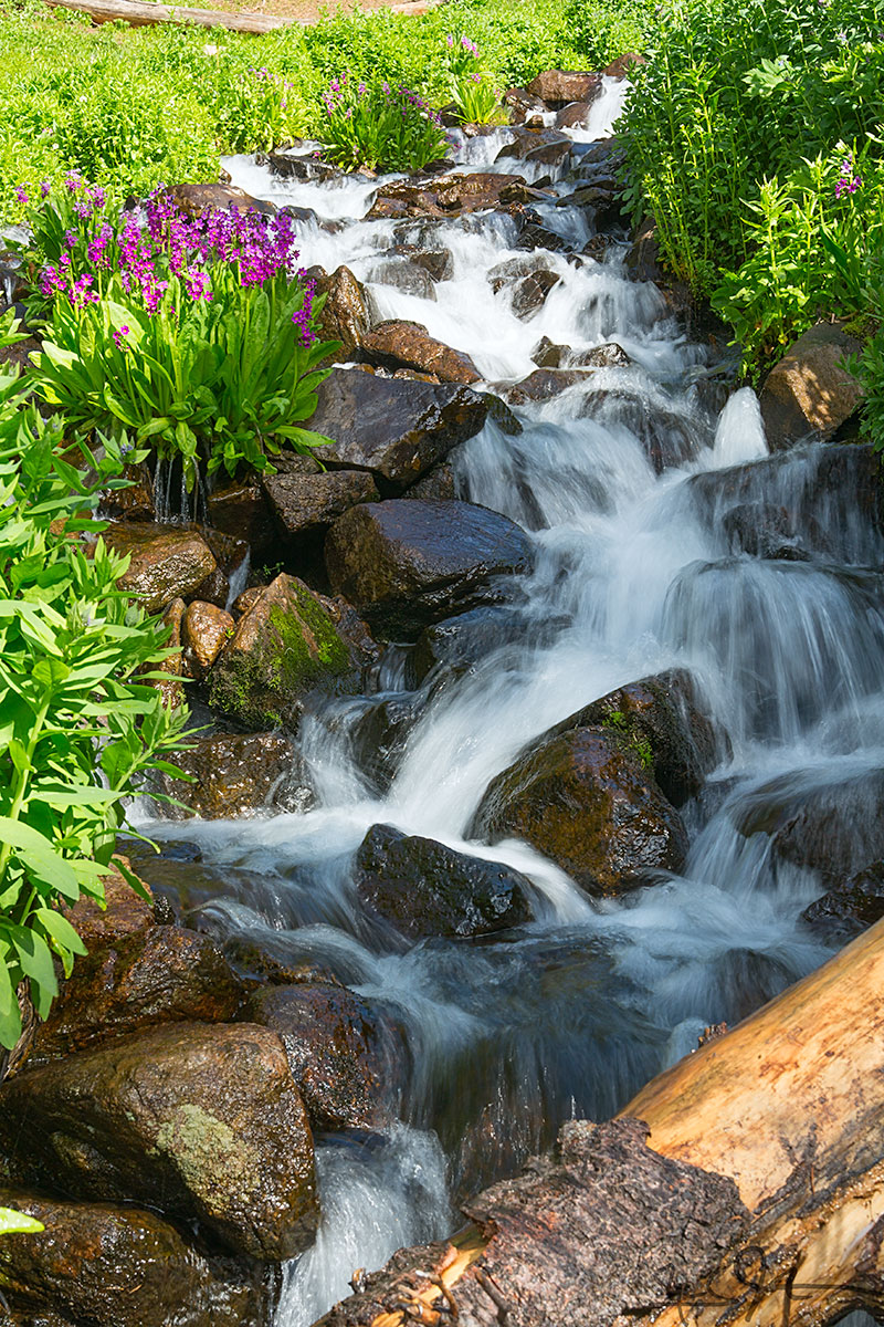
A tributary creek of the Big Thompson River.
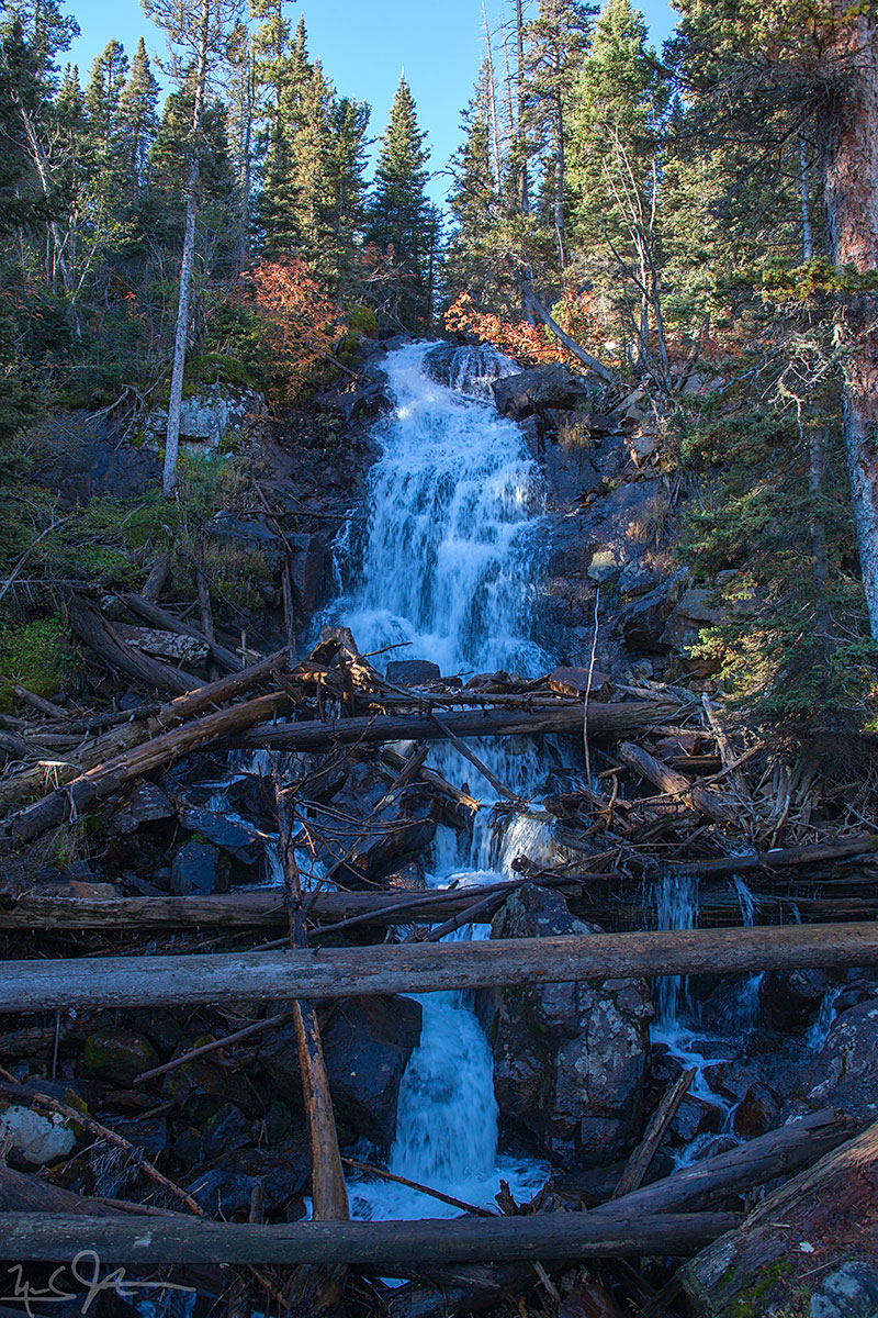
Fern Falls, elevation 8800 feet.
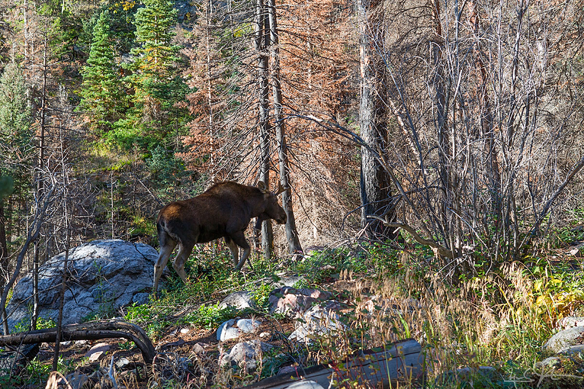
Great to see this bull moose on the east side of the park!
Notchtop Mountain and the Little Matterhorn reflected in Fern Lake.
![The approach to Odessa Lake along Fern Creek is spectacular - Notchtop Mountain [summit at about 12,160 feet] at center.](https://images.squarespace-cdn.com/content/v1/5005dbf284aebe9f4d09d4f5/1411691121900-URJ2PRFPRBO0DE21BIYS/image-asset.jpeg)
The approach to Odessa Lake along Fern Creek is spectacular - Notchtop Mountain [summit at about 12,160 feet] at center.
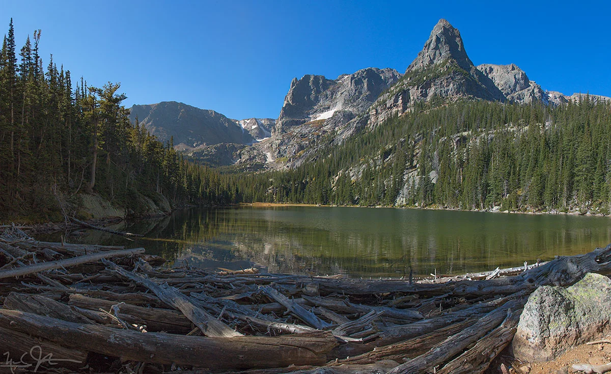
Odessa Lake, with Notchtop Mountain at center and the Little Matterhorn at right.
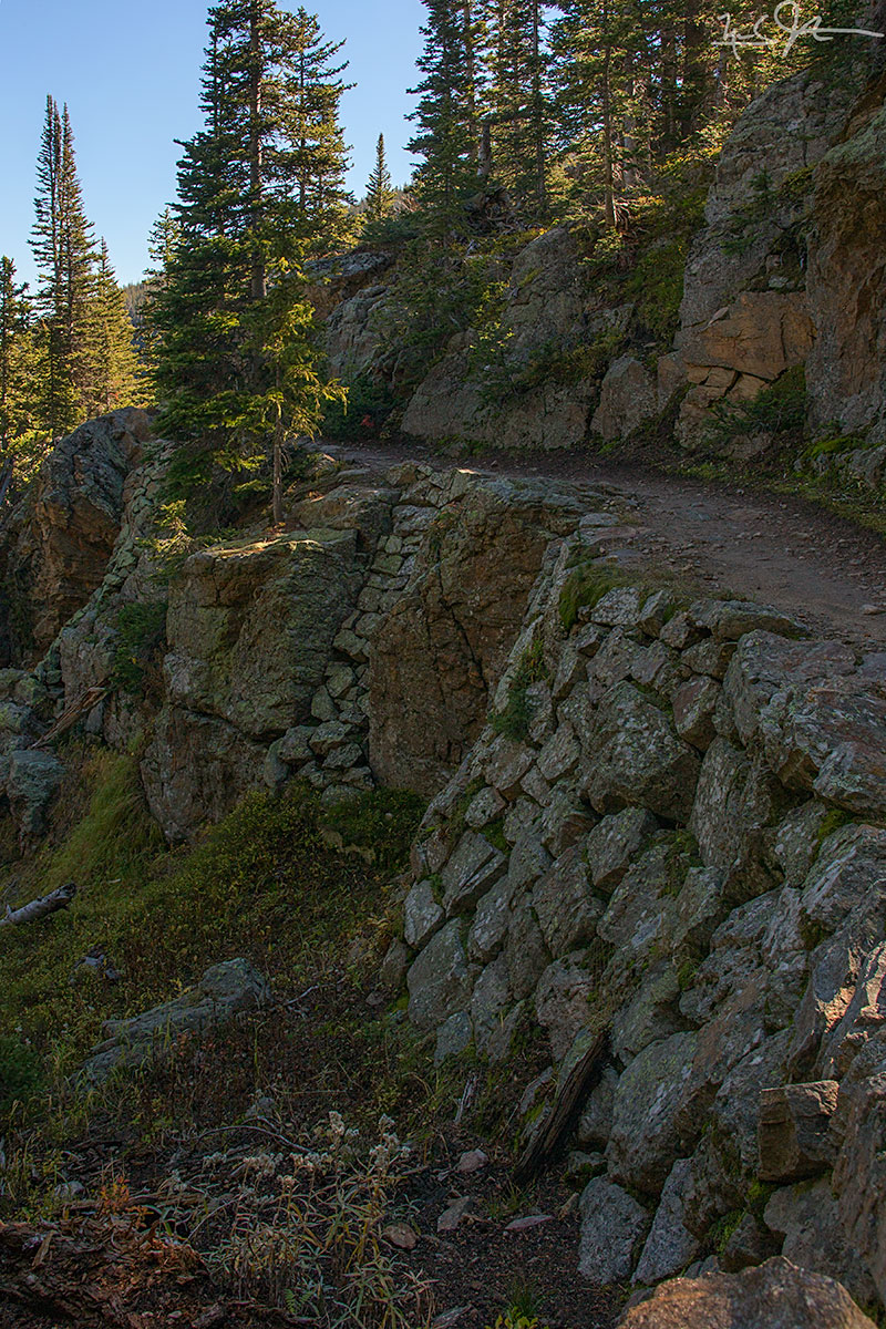
Some excellent trail engineering just below Odessa Lake.
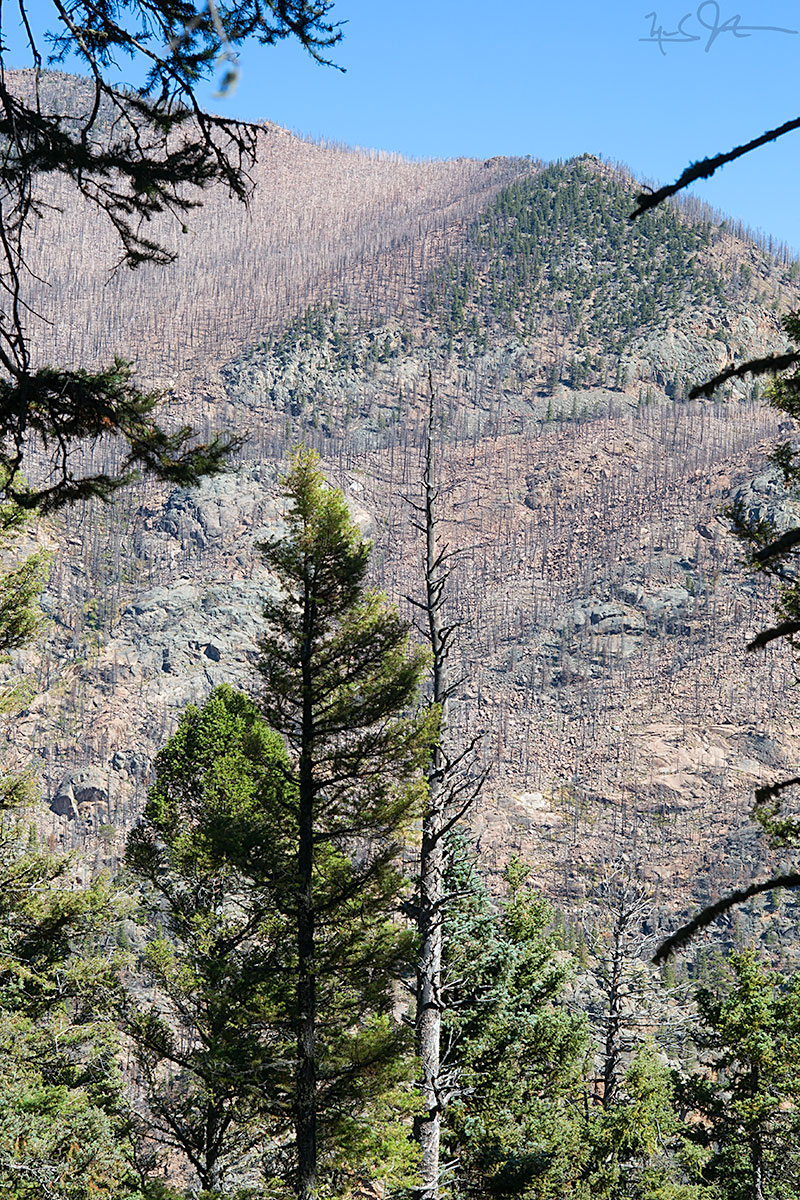
In the Autumn of 2012, the Fern Lake fire raced up both sides of the canyon carrying the upper reaches of the Big Thompson River, burning about 3,500 acres. It was started by an illegal campfire on October 9th, and was not officially declared extinguished until the 24th of June 2013, eight and a half months later, when enough snow had melted off the mountain tops to allow confirmation that there were no smoldering remnants still active. Almost two years later, large swaths of former pine forest remain barren.
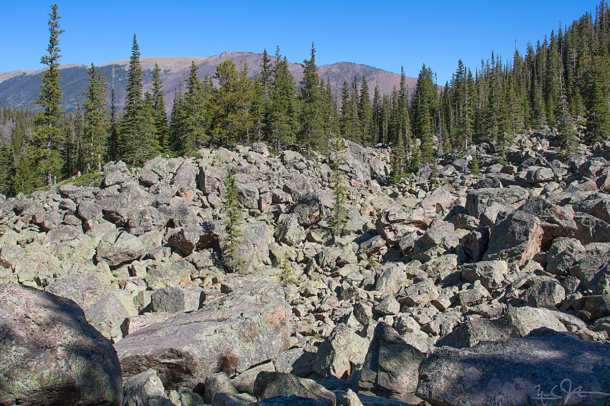
It ain't called "The Rockies" for nuthin'.
Some photos from a couple of evenings at 12,000 feet.
The video above is a time lapse sequence with frames captured every 30 seconds between about 5:30 and 7:30 PM.
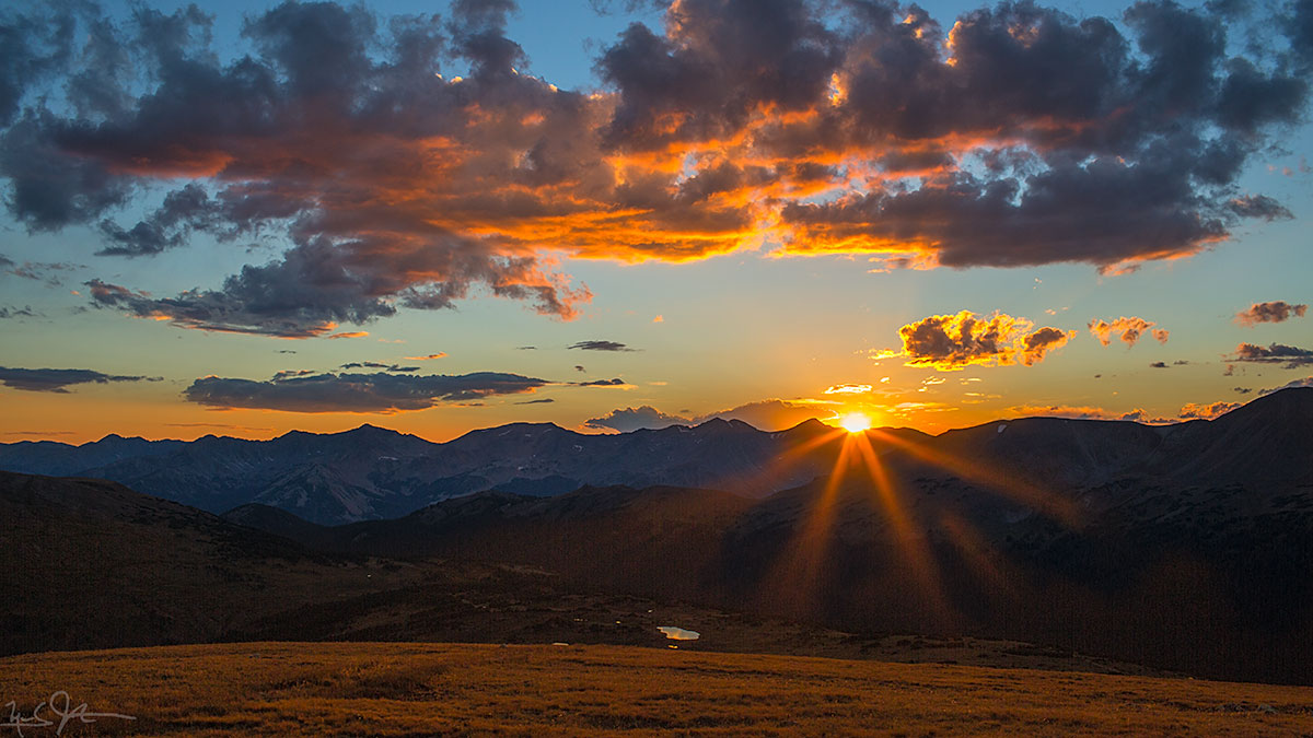
The sun sets over Mt. Cirrus in the Gore Range, about 50 miles away.

The setting sun reflects light off the underside of the clouds. Gore range in the distance.

Thunderstorms move out over the plains towards Loveland, Colorado.

Distant clouds are lit by a lightning bolt.
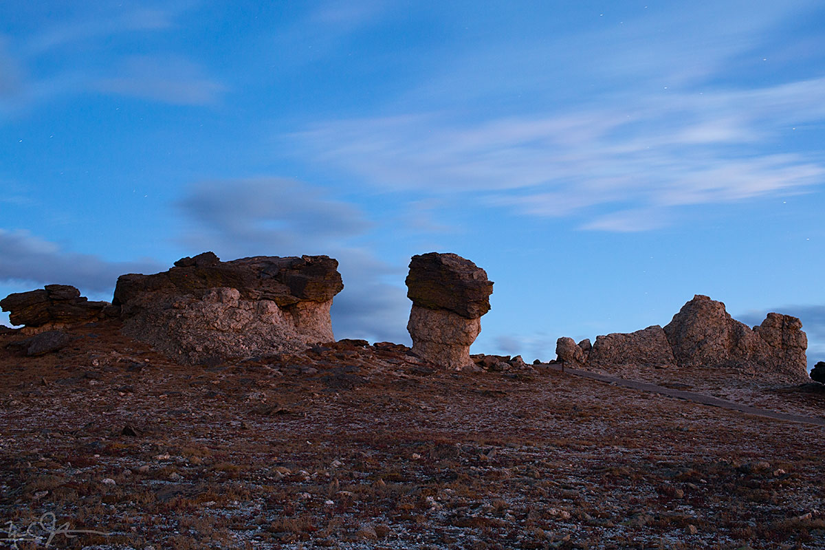
Mushroom rocks, formed when erosion occurs more rapidly on a softer layer of rock that lies underneath a harder top layer.
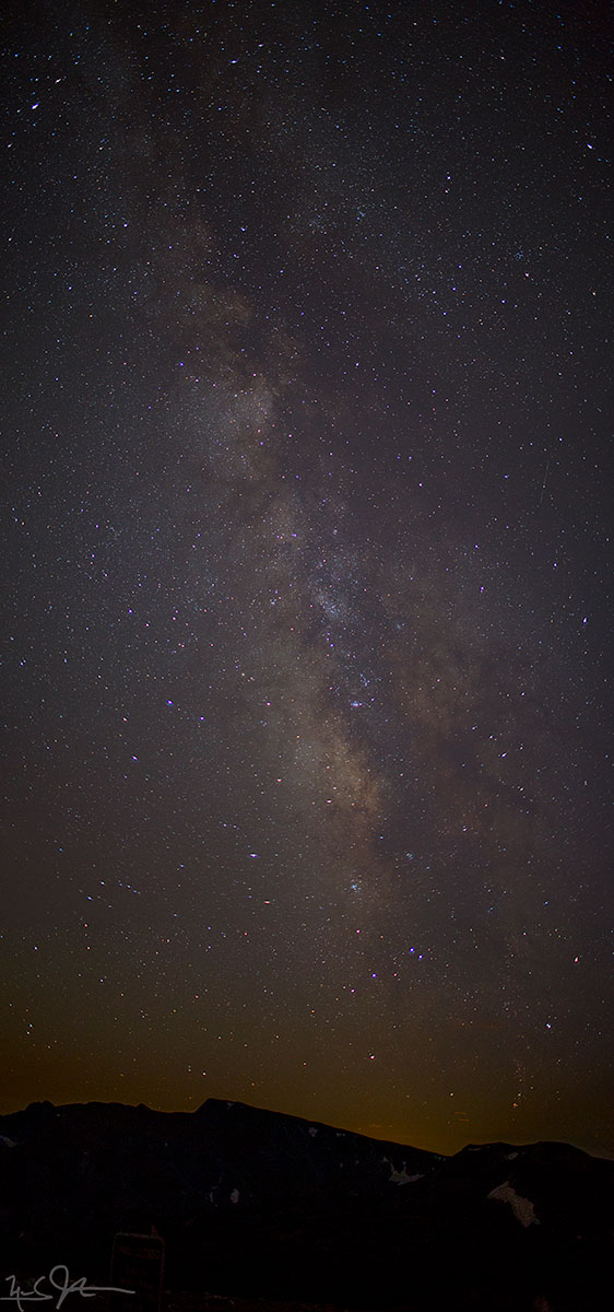
Not too much light pollution, so the Milky Way is clearly visible after dark.
A few additional photos from 27 September:

The moon sets behind the clouds at right, and the stars come out.

The Milky Way behind mushroom rocks.
A few months ago, I released a song named, "Rain on the Tarn", and mentioned that I hoped to reach the subject location this summer.
Earlier this week, I hiked up through Glacier Gorge to Andrews Tarn, so I can count that desire fulfilled.
Andrews Tarn lies at around 11,500 feet elevation, just below Andrews Glacier, just east of the Continental Divide in Rocky Mountain National Park. This photo looks eastward away from the Divide and the glacier, towards the steep drop-off into the canyon below.

Andrews Glacier - not much more than a dirty patch of snow in late Summer - and getting smaller every year because of the effects of human activity on our climate. Above the glacier is a saddle that is part of the Continental Divide - the line that determines whether water drains into the Atlantic or Pacific Ocean.
Here's the tune - evocative of a different sort of day than the bright and windy conditions in these photos!
![From the eastern lip of Andrews Tarn, looking down the talus slope, with a blue sliver of The Loch [elevation 10,180 ft] visible about a mile away.](https://images.squarespace-cdn.com/content/v1/5005dbf284aebe9f4d09d4f5/1409876033036-MFPGTVURMGKY5G5CH6VE/image-asset.jpeg)
From the eastern lip of Andrews Tarn, looking down the talus slope, with a blue sliver of The Loch [elevation 10,180 ft] visible about a mile away.
Andrews Creek drains Andrews Tarn and joins Icy Brook running down from Lake of Glass to fill The Loch.
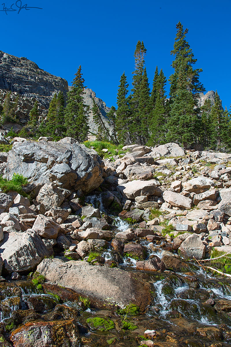
The middle reaches of Andrews Creek cascade over boulders below Andrews Tarn.
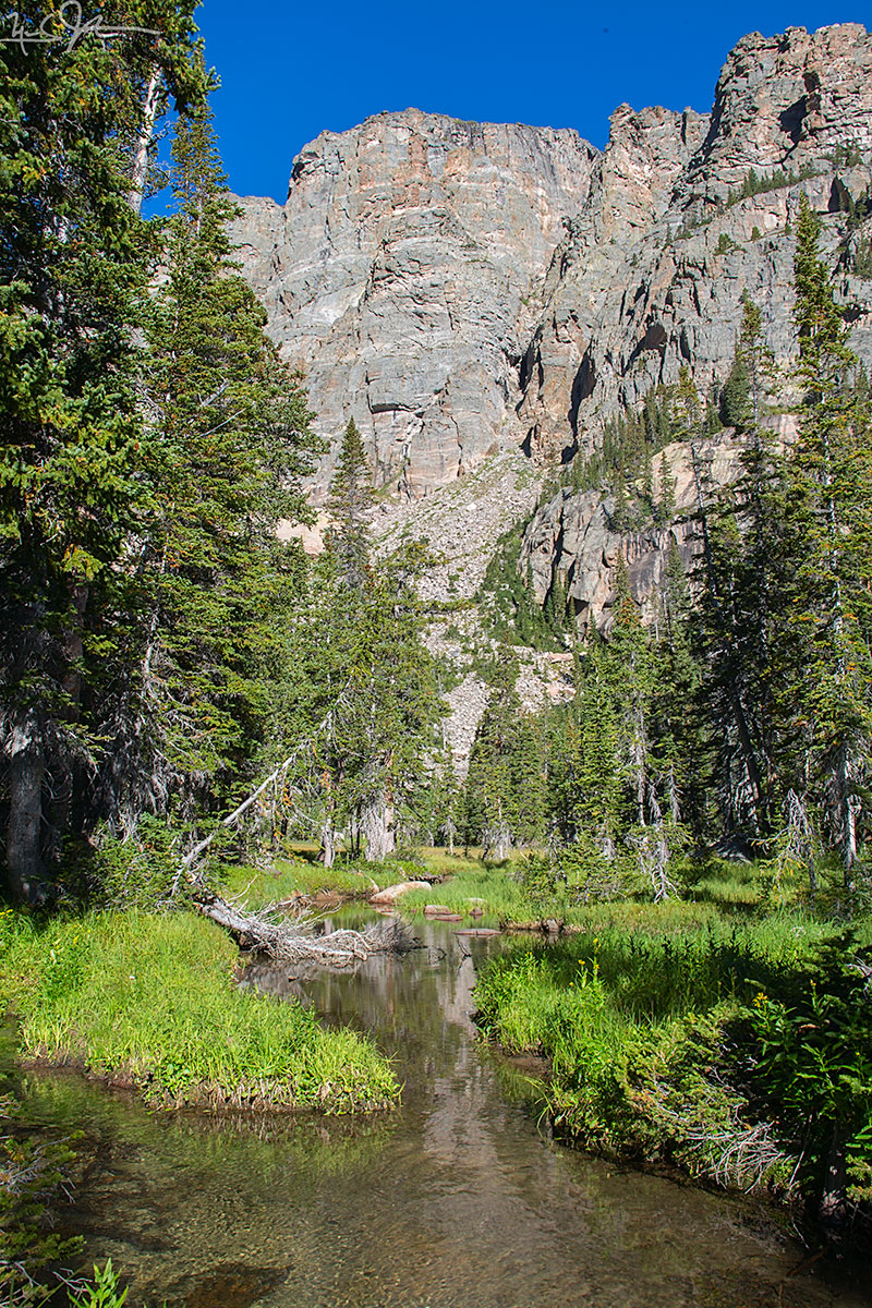
Andrews Creek takes a more leisurely meander through the lower reaches before joining Icy Creek.
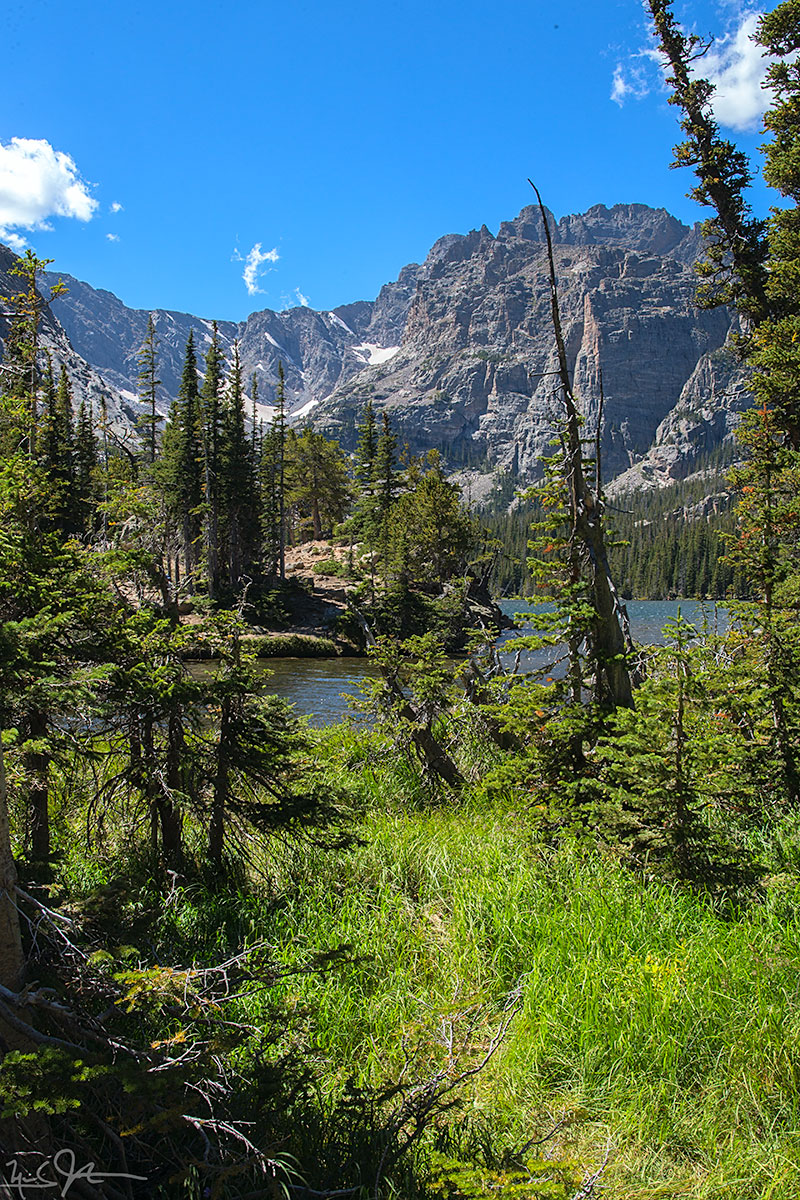
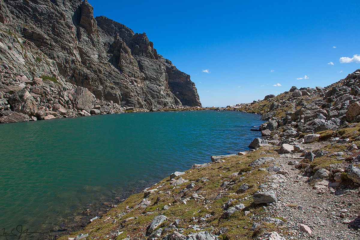
Looking almost due south across The Loch from its northern shore.
At the foot of The Loch, with Taylor Glacier and Taylor Peak at center and right, respectively.

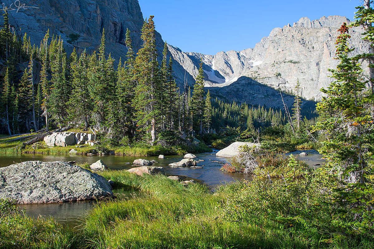
Glacier Creek below The Loch.
The Loch Vale Trail as it passes below the Glacier Knobs headed for The Loch.
Long Lake and Lake Isabelle via the Pawnee Pass Trail and the Isabelle Glacier Trail.

Started the day with moose.


At the foot of Long Lake as it drains towards Brainard Lake.
A pond at the foot of Long Lake.


Just northwest of Lake Isabelle, looking towards Navajo, Apache, and Shoshoni Peaks.