![Black Lake [elev. 10,620 ft] under an overcast sky. The mountain at right is Chiefs Head Peak - the chief is reclining with his nose at the right edge and chin a bit to the left.](https://images.squarespace-cdn.com/content/v1/5005dbf284aebe9f4d09d4f5/1413205525591-I5LZOGZ345CRXKHP8R9Z/image-asset.jpeg)

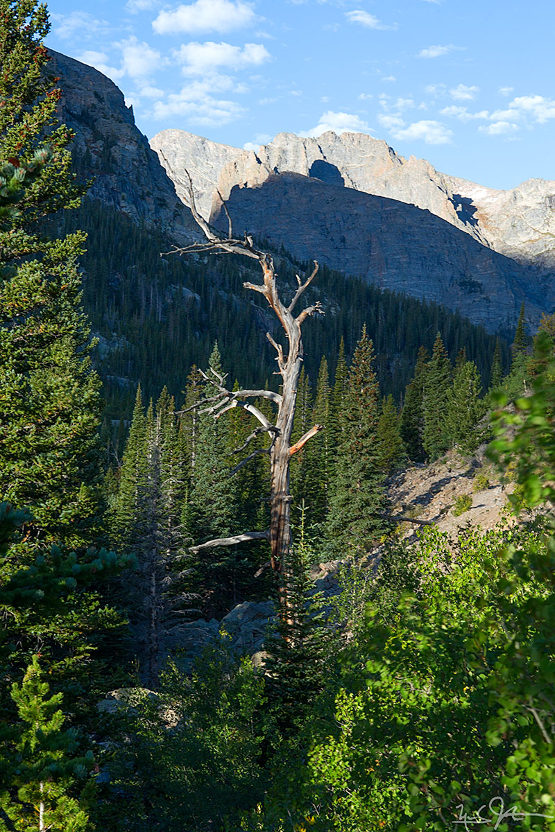
Looking north towards the Mummy Range from Glacier Creek Trail.

The moon above a cloud bank lit by the rising sun.

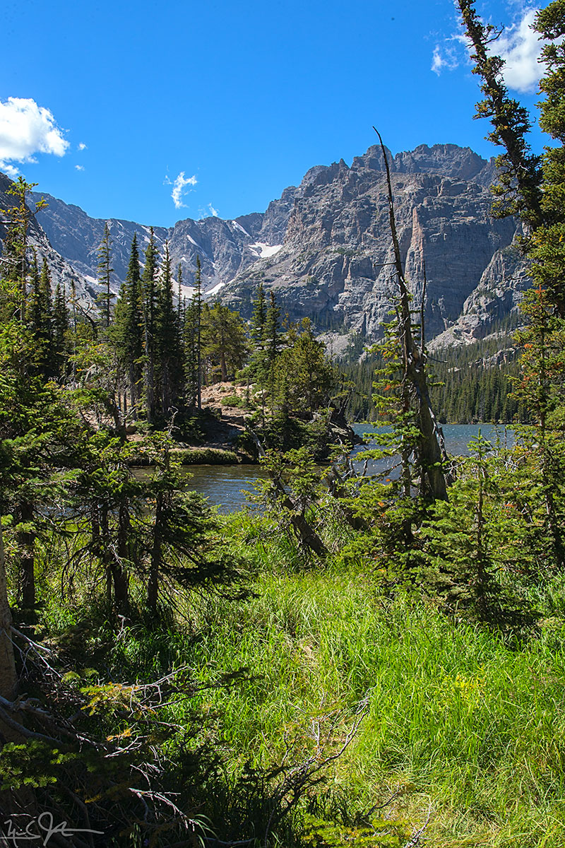
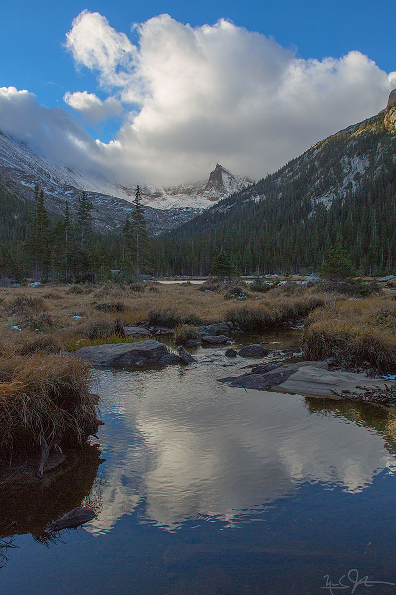
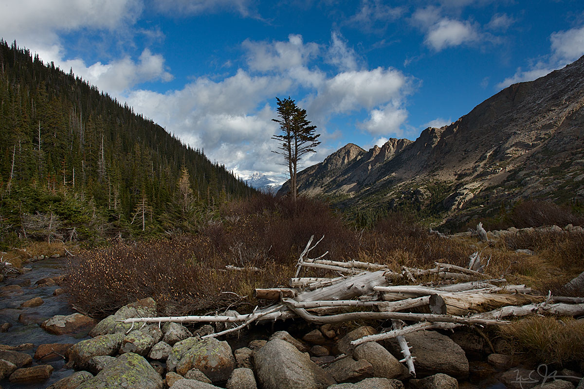
The approach to Mills Lake, with McHenry Peak in the distance. Black Lake lies just below McHenry Peak.


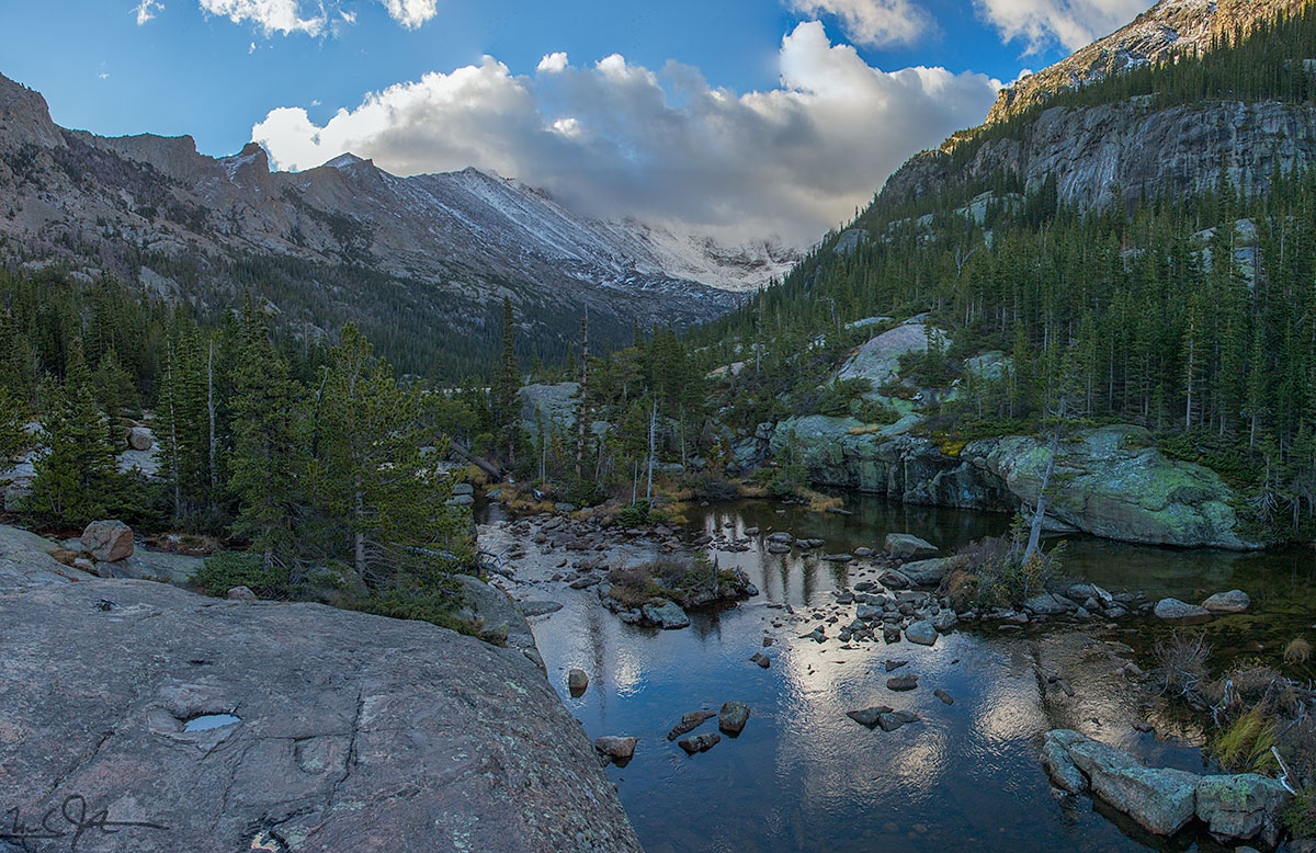

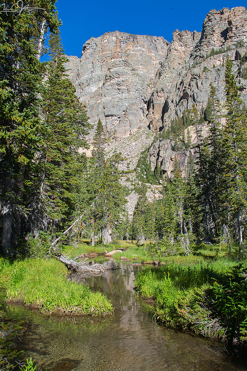
From the foot of Jewel Lake.
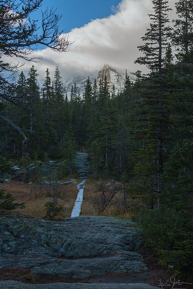
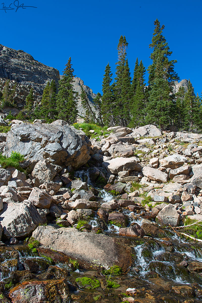
Planks provide a way to traverse a soggy marsh.
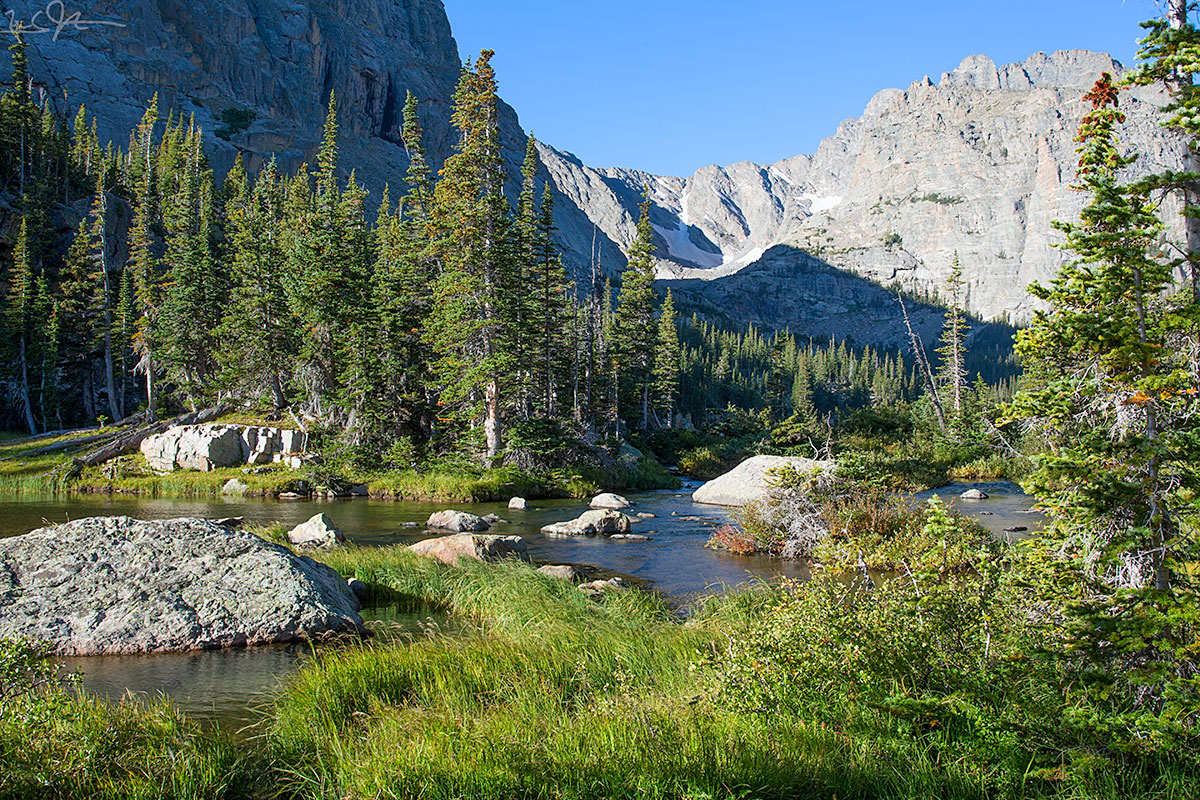
Looking back down Glacier Gorge from the edge of Black Lake.
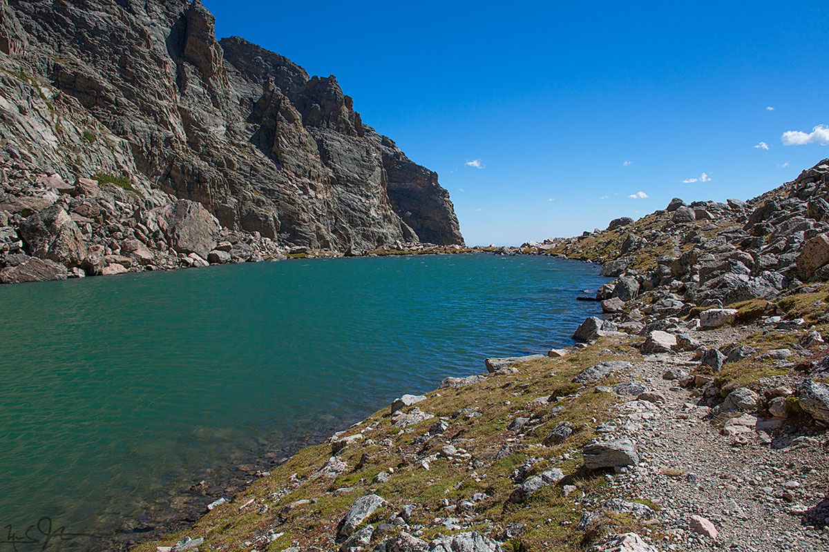

![From the eastern lip of Andrews Tarn, looking down the talus slope, with a blue sliver of The Loch [elevation 10,180 ft] visible about a mile away.](https://images.squarespace-cdn.com/content/v1/5005dbf284aebe9f4d09d4f5/1409876033036-MFPGTVURMGKY5G5CH6VE/image-asset.jpeg)