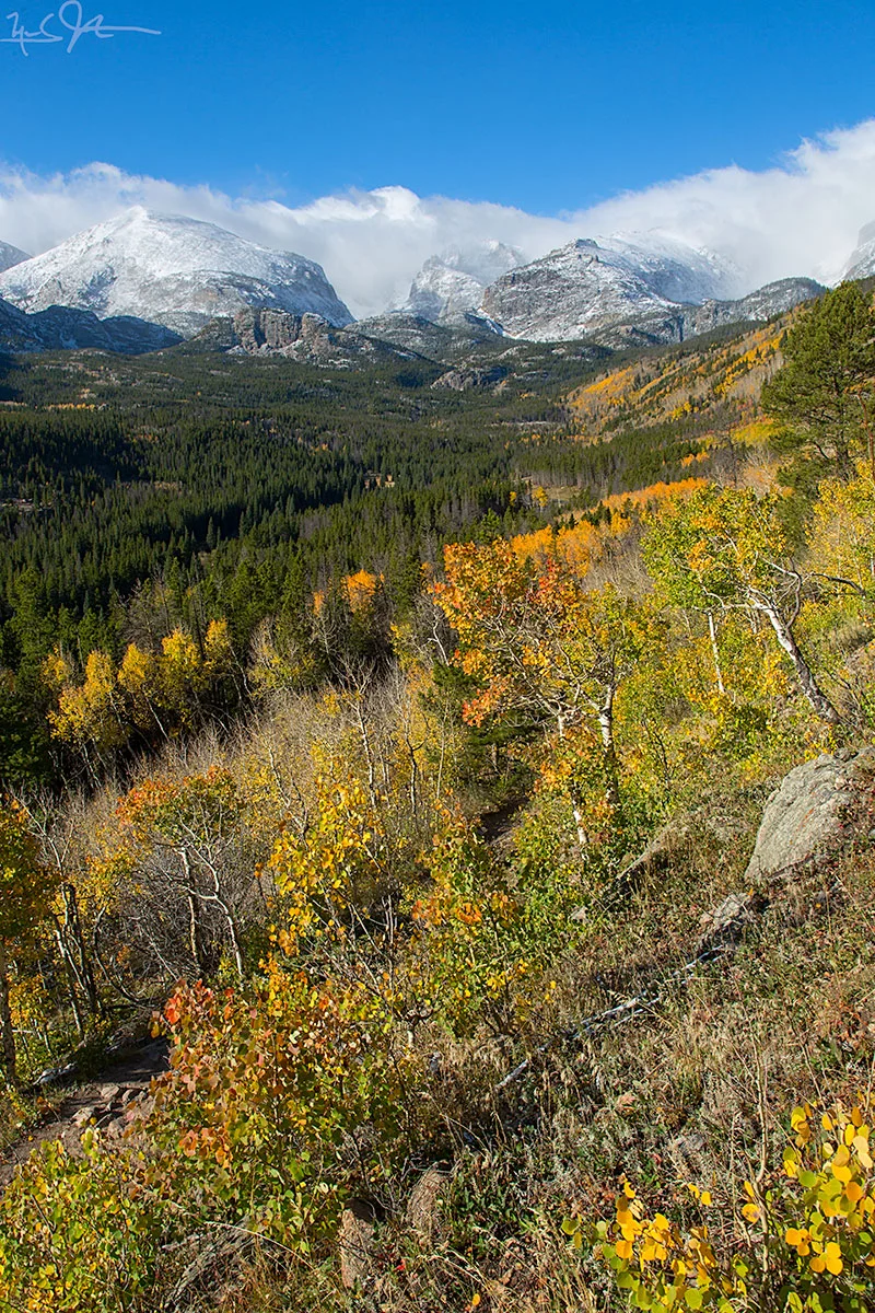
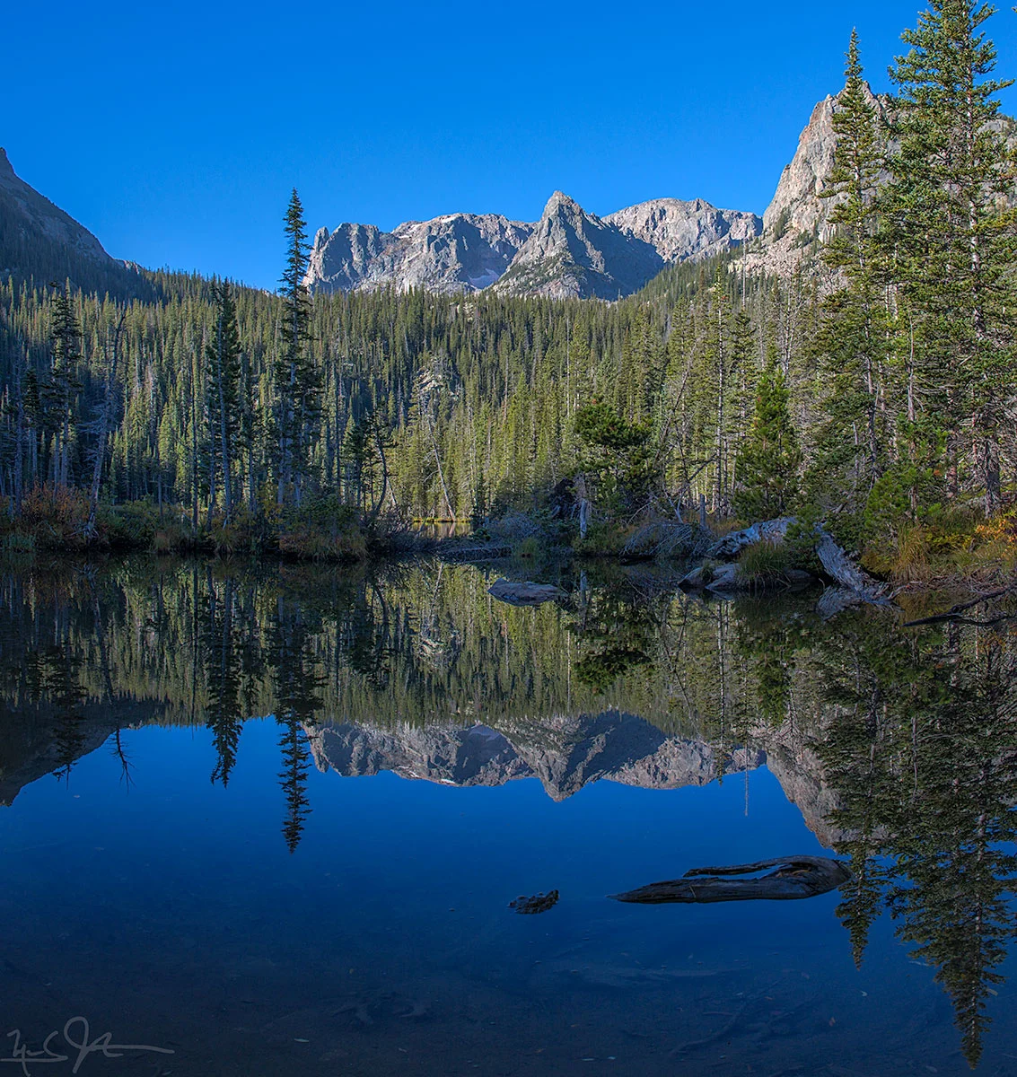
From left: McHenry's Peak, East Glacier Knob, and Otis Peak and Taylor Peak in the clouds, and Hallet Peak on the right. All but East Glacier Knob lie on the Continental Divide with elevations above 12,000 feet. My elevation here is around 9.500 feet.
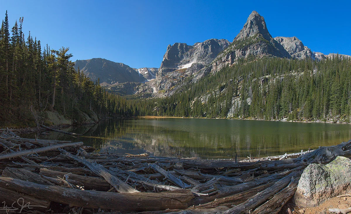
![A wider panoramic view includes Long's Peak [elevation 14,259 feet] visible between the two pine trees at left.](https://images.squarespace-cdn.com/content/v1/5005dbf284aebe9f4d09d4f5/1412381375654-TXINMPKB0XXJZVJT7S42/image-asset.jpeg)
A wider panoramic view includes Long's Peak [elevation 14,259 feet] visible between the two pine trees at left.

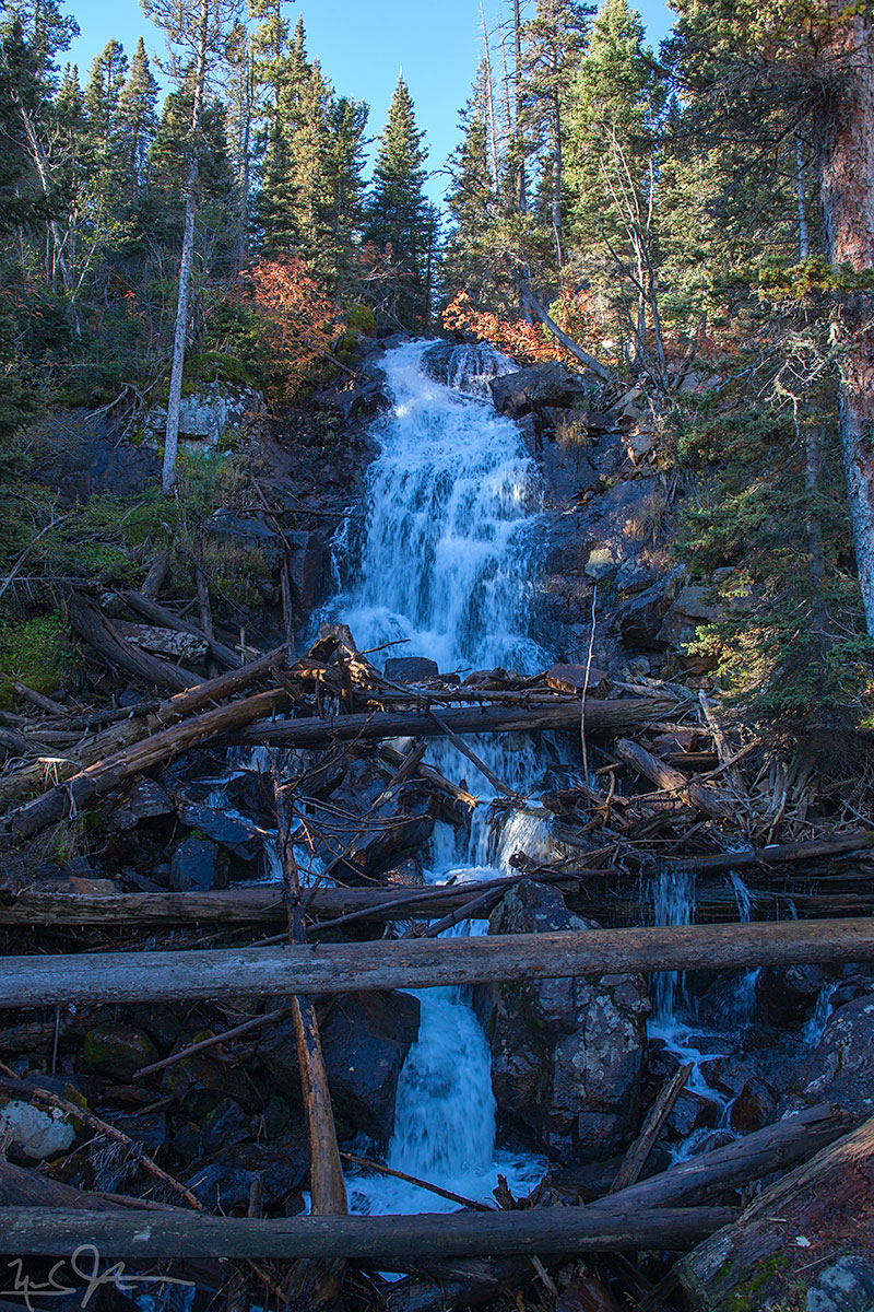
A blaze of glory


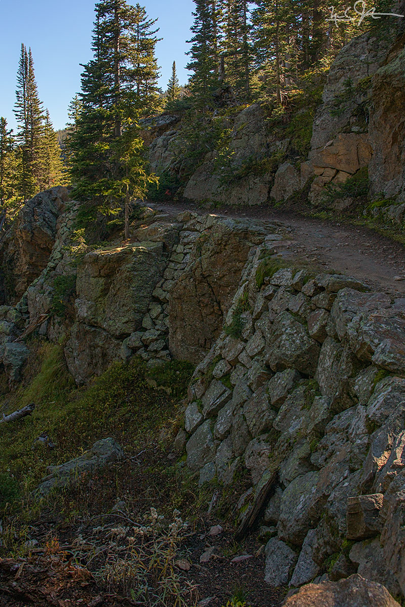
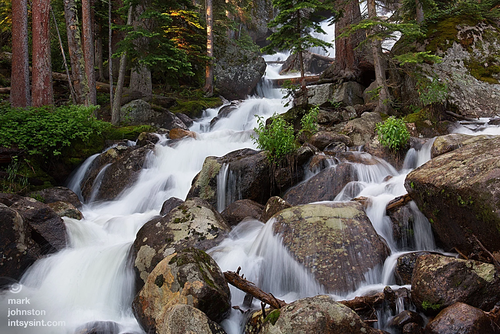
![The approach to Odessa Lake along Fern Creek is spectacular - Notchtop Mountain [summit at about 12,160 feet] at center.](https://images.squarespace-cdn.com/content/v1/5005dbf284aebe9f4d09d4f5/1411691121900-URJ2PRFPRBO0DE21BIYS/image-asset.jpeg)


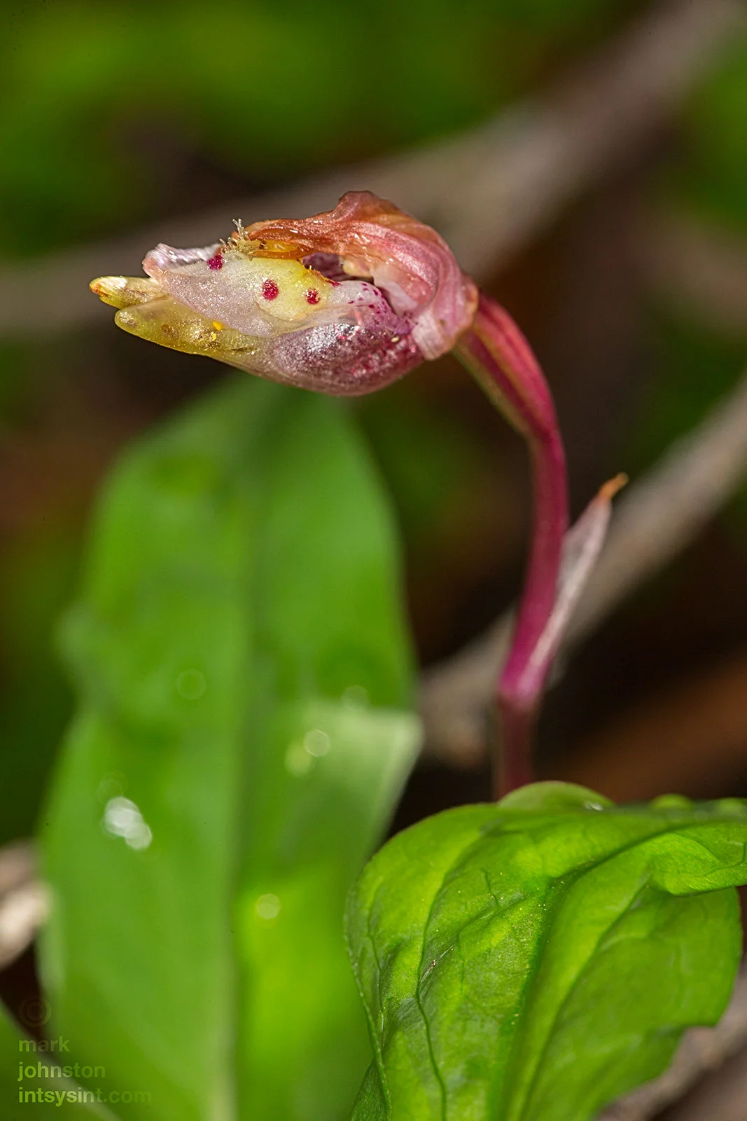


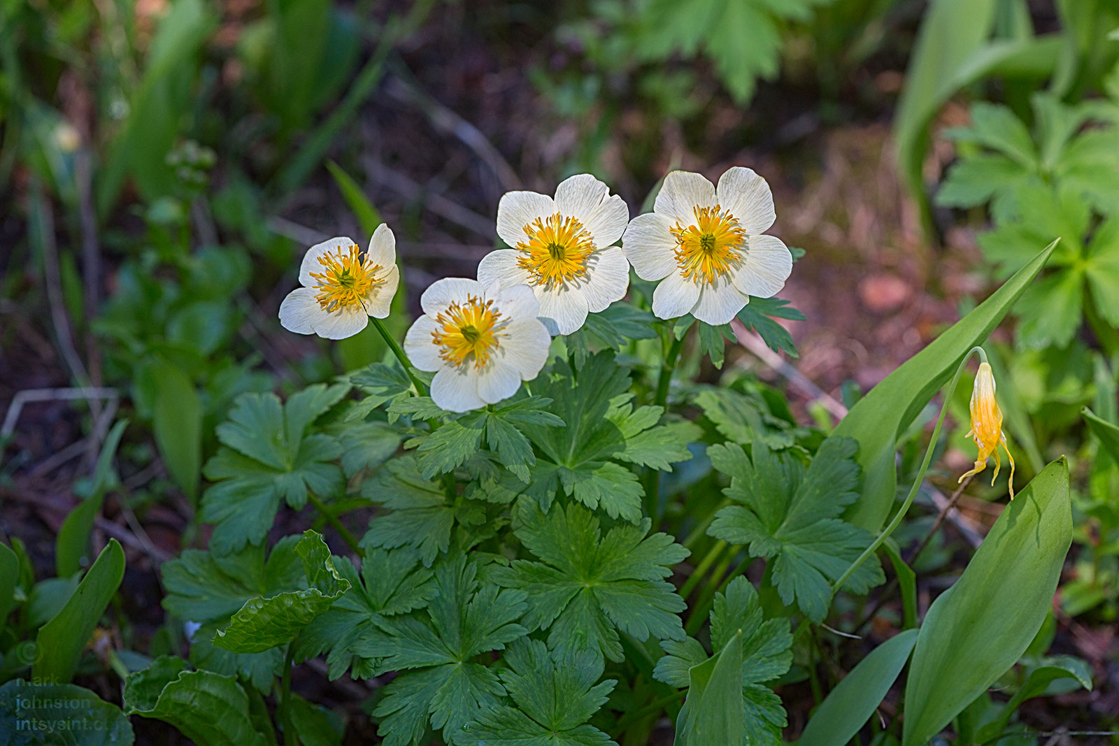
![American Globeflower [buttercup family], Trollius laxus.](https://images.squarespace-cdn.com/content/v1/5005dbf284aebe9f4d09d4f5/1405520310949-67QSZWT1V1S1Q8H7Z9T2/image-asset.jpeg)