Many new photos released

From early August through December 2016, I have released over 2000 photographs, many of which have never before been published.  Below is a partial list of subjects and some examples.  Be sure to visit galleries.intsysint.com to browse all of the available images.
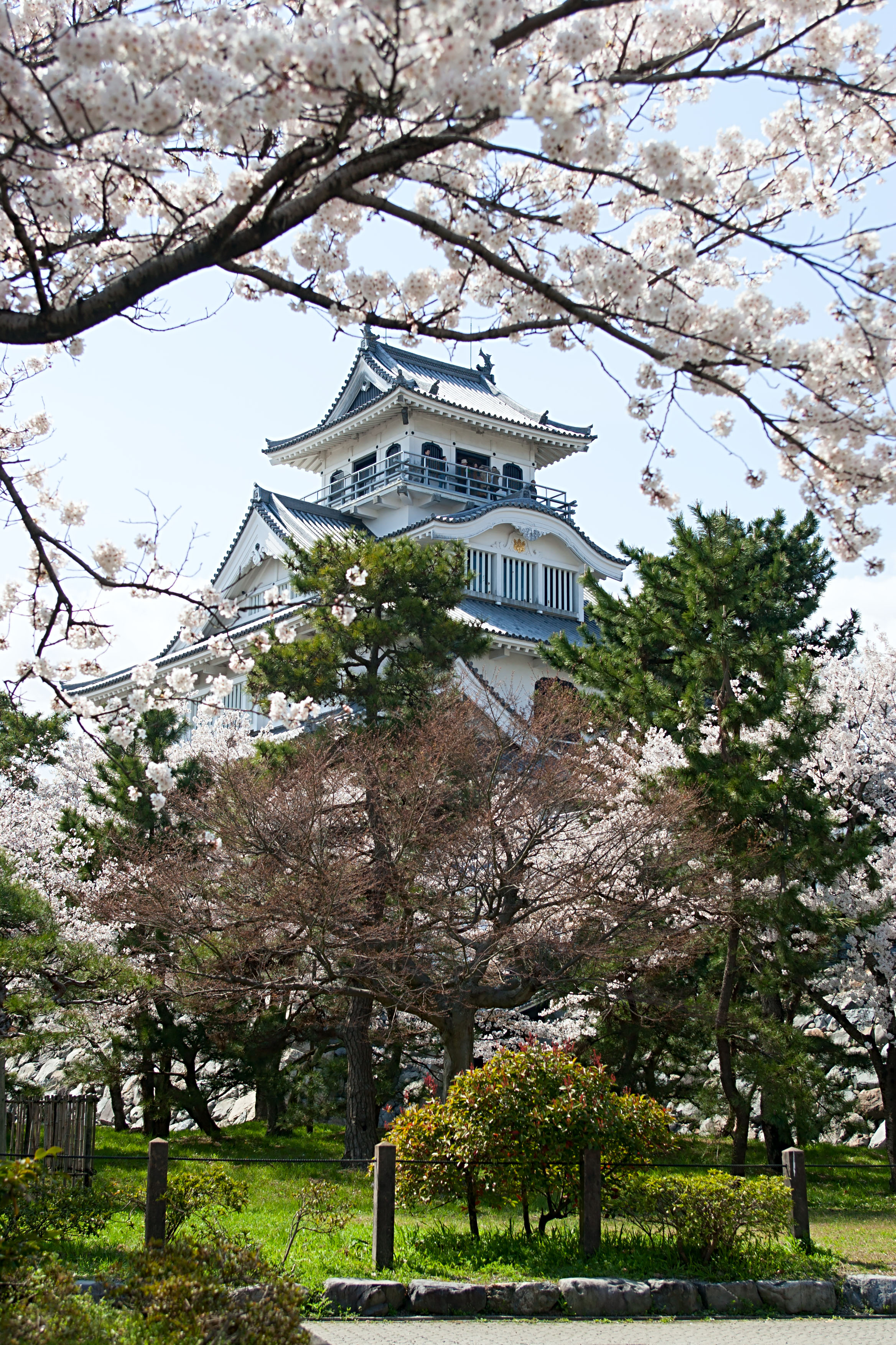
Nikko, Japan

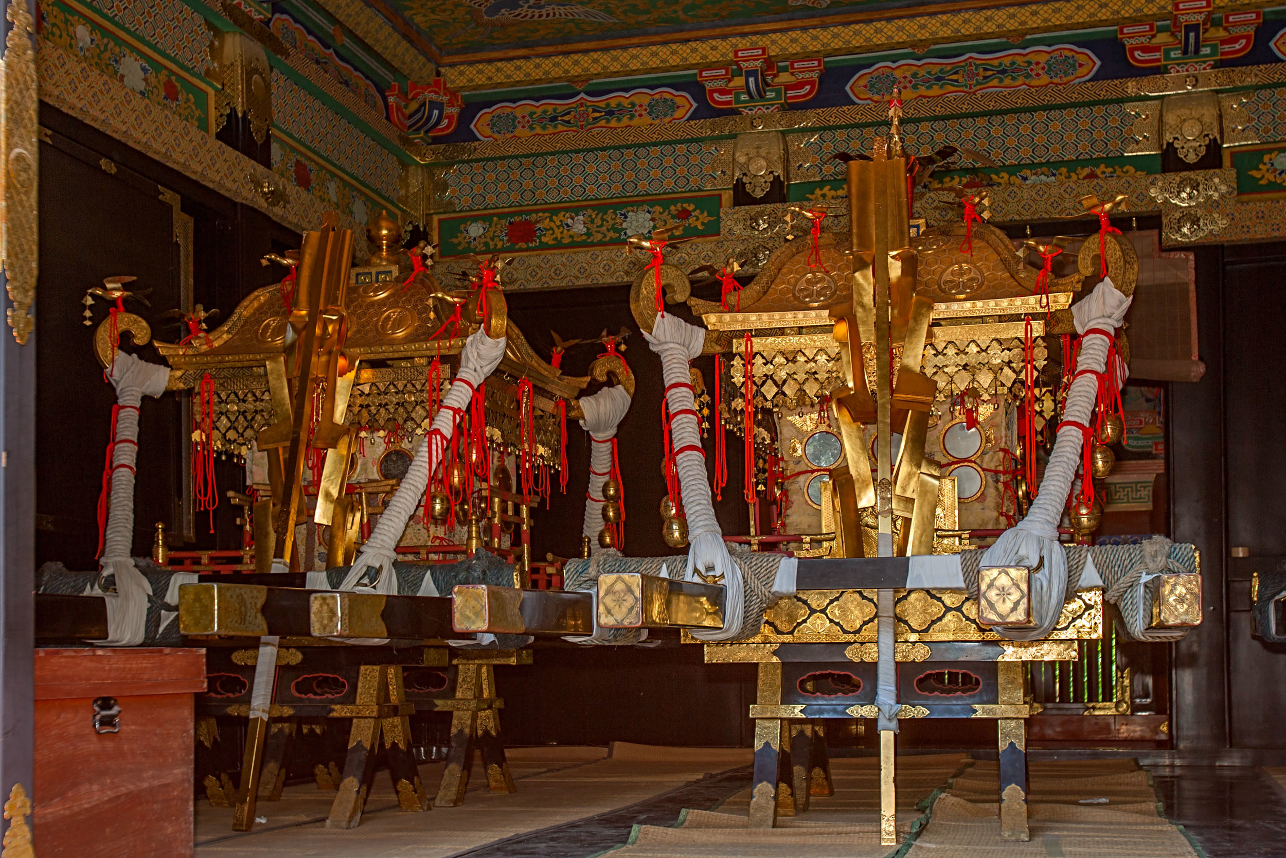
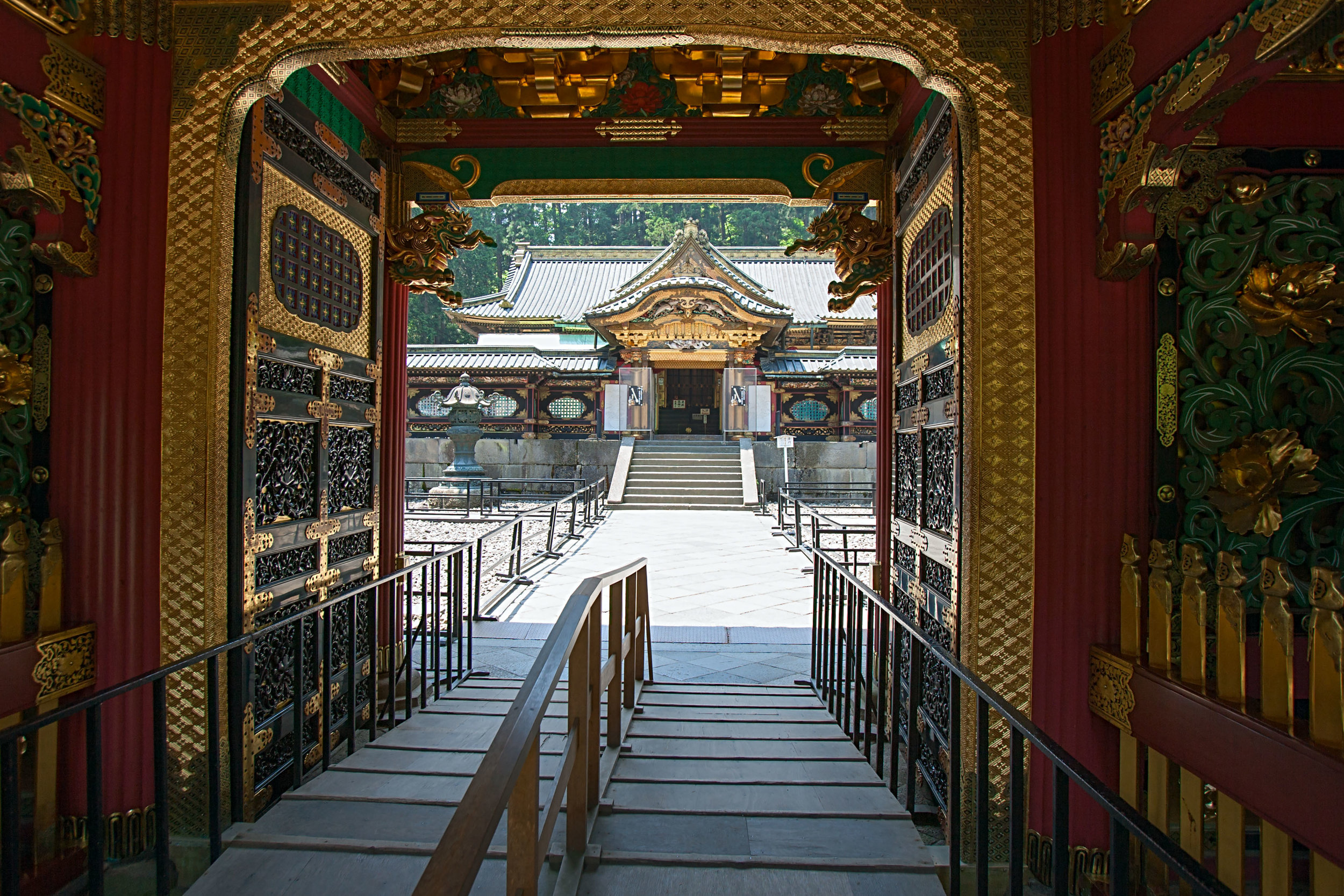
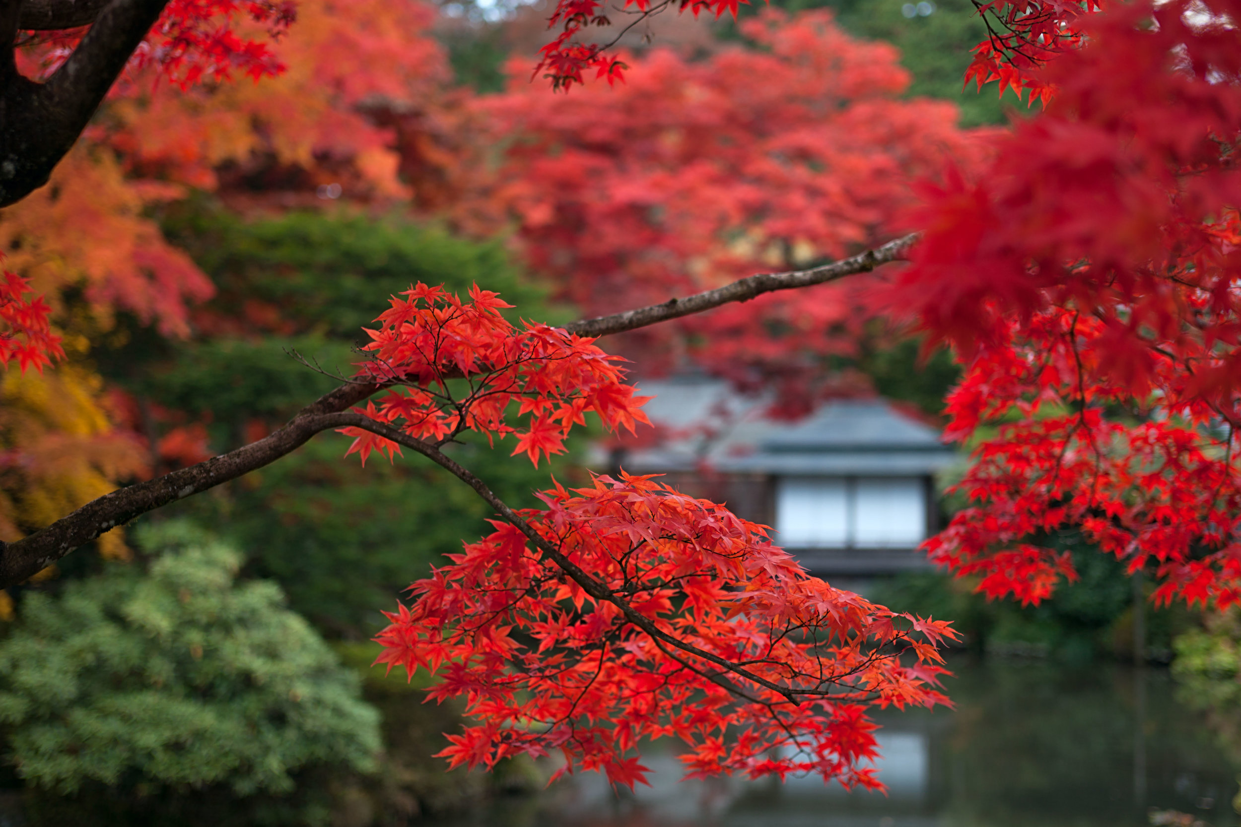
The massive shrine complex at Toshogu, where the Tokugawa shogun, Ieyasu, is enshrined and entombed is a World Heritage site.  It was originally built in 1617 during Japan's Edo period and lies at the edge of the mountain town of Nikko in Tochigi Prefecture, also famous for its autumn leaf viewing.

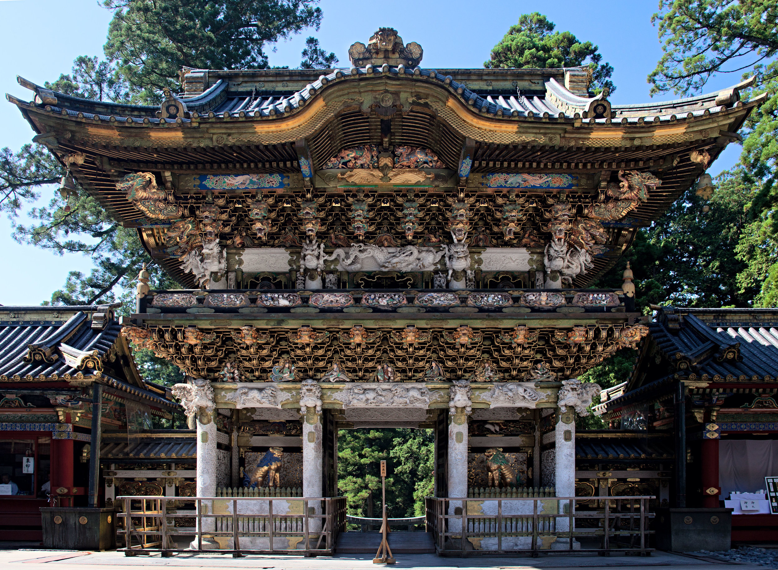
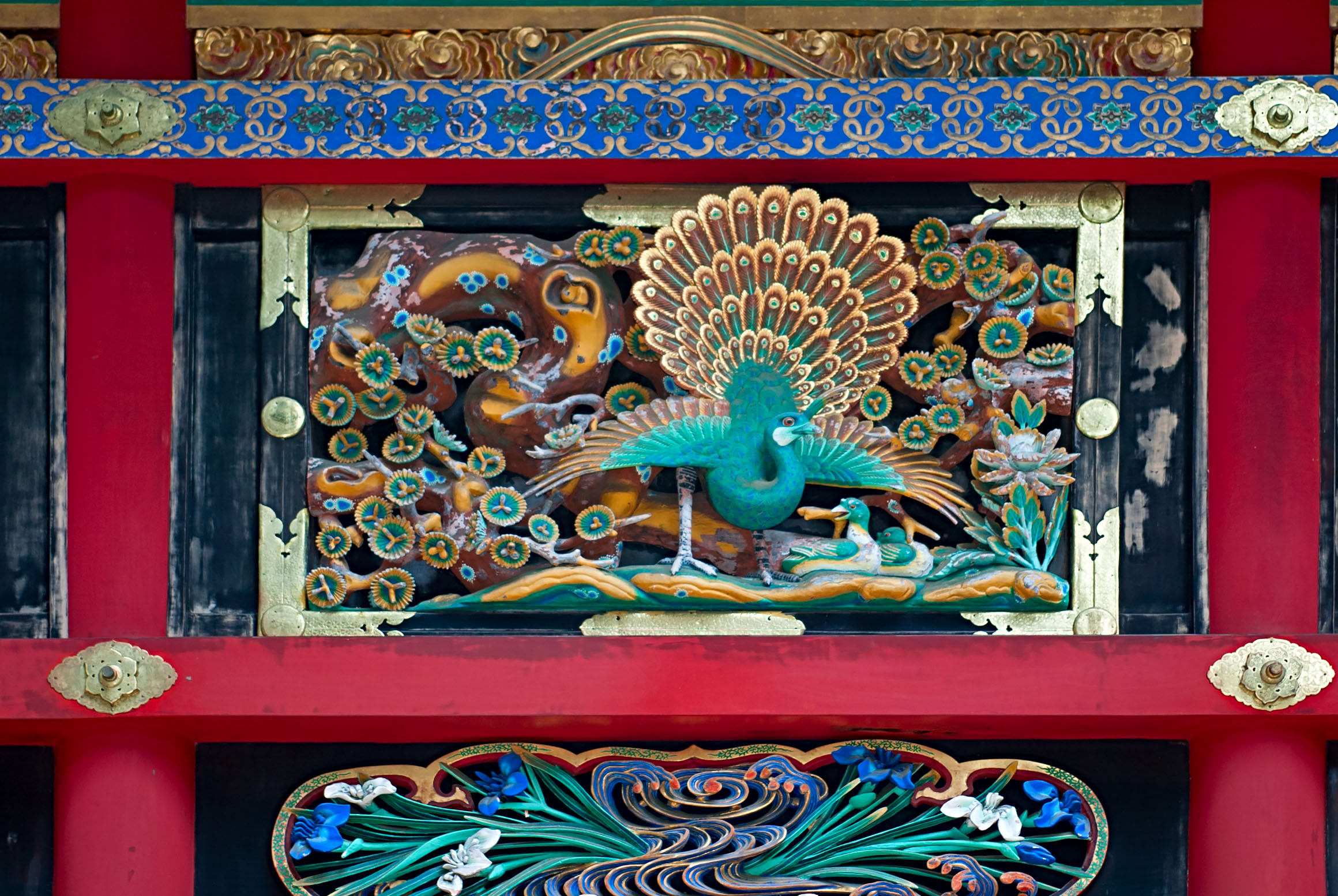
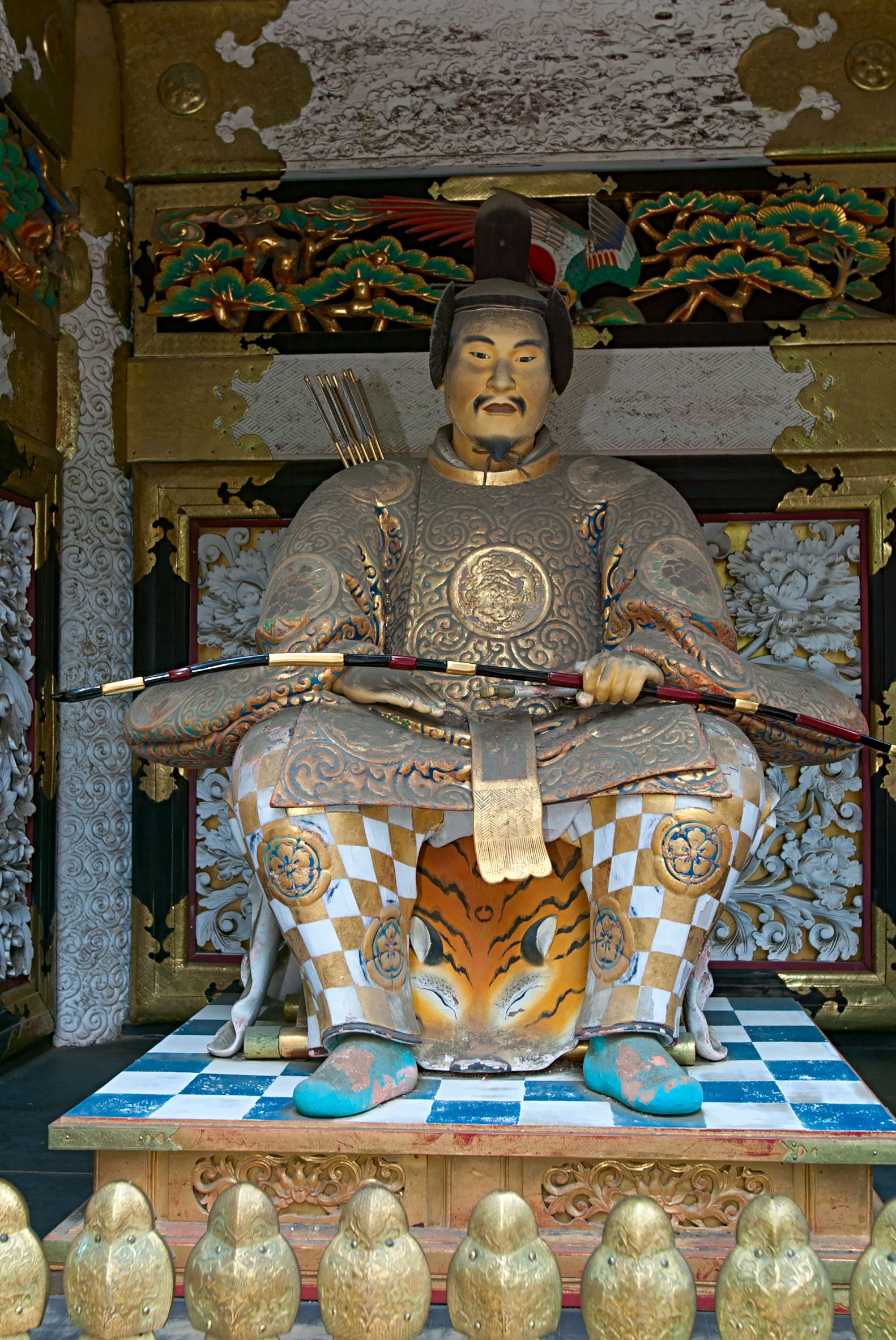
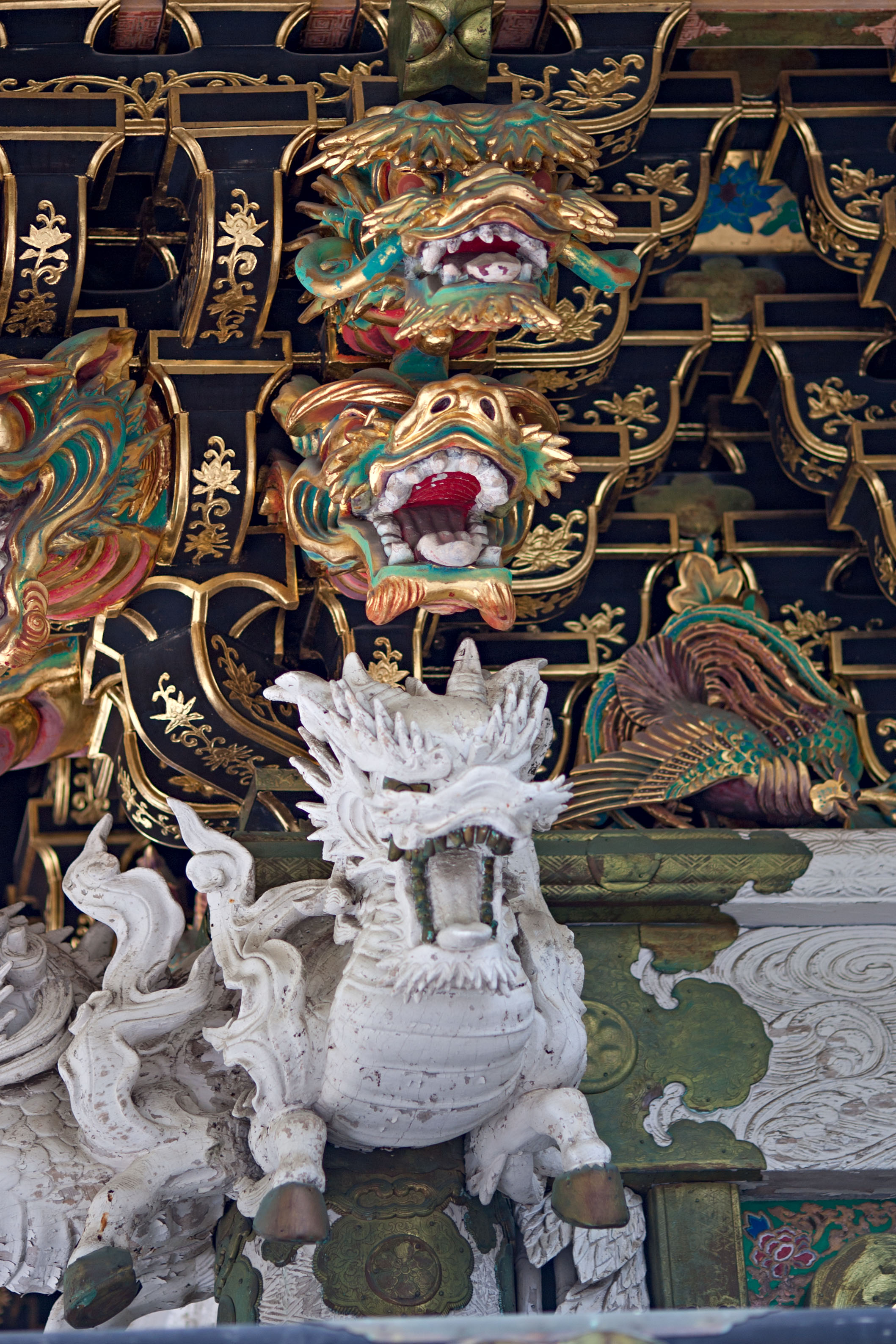
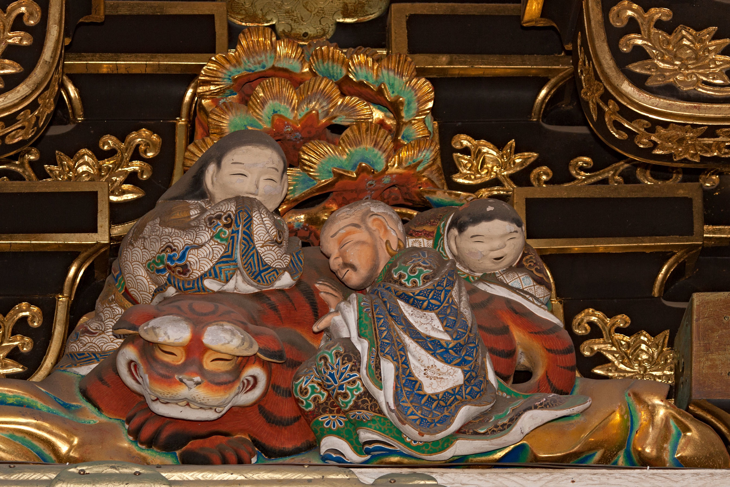
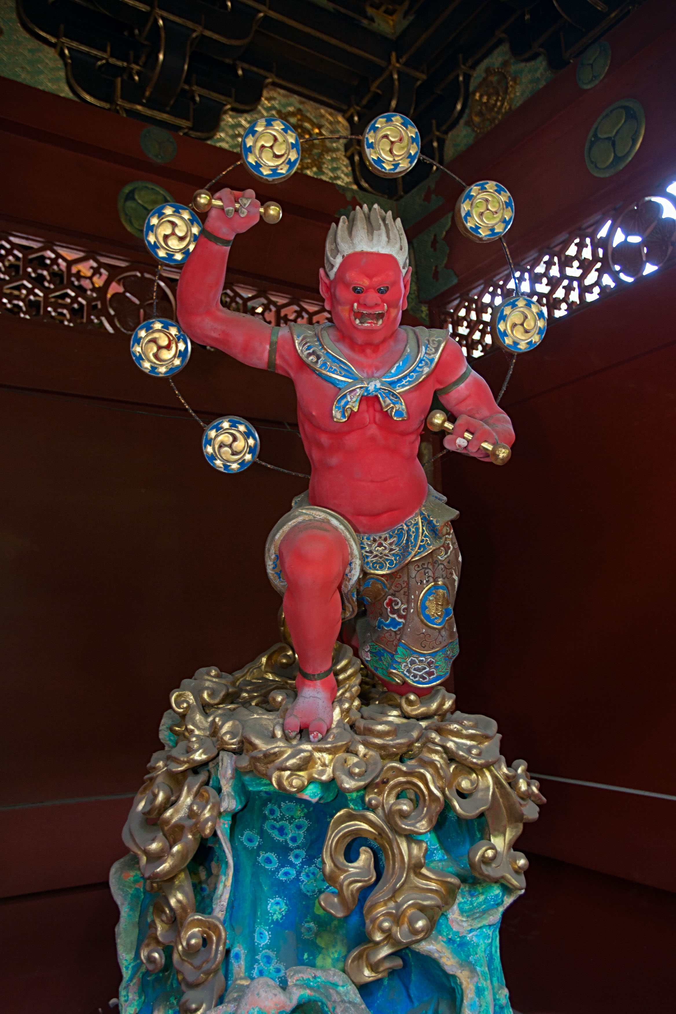
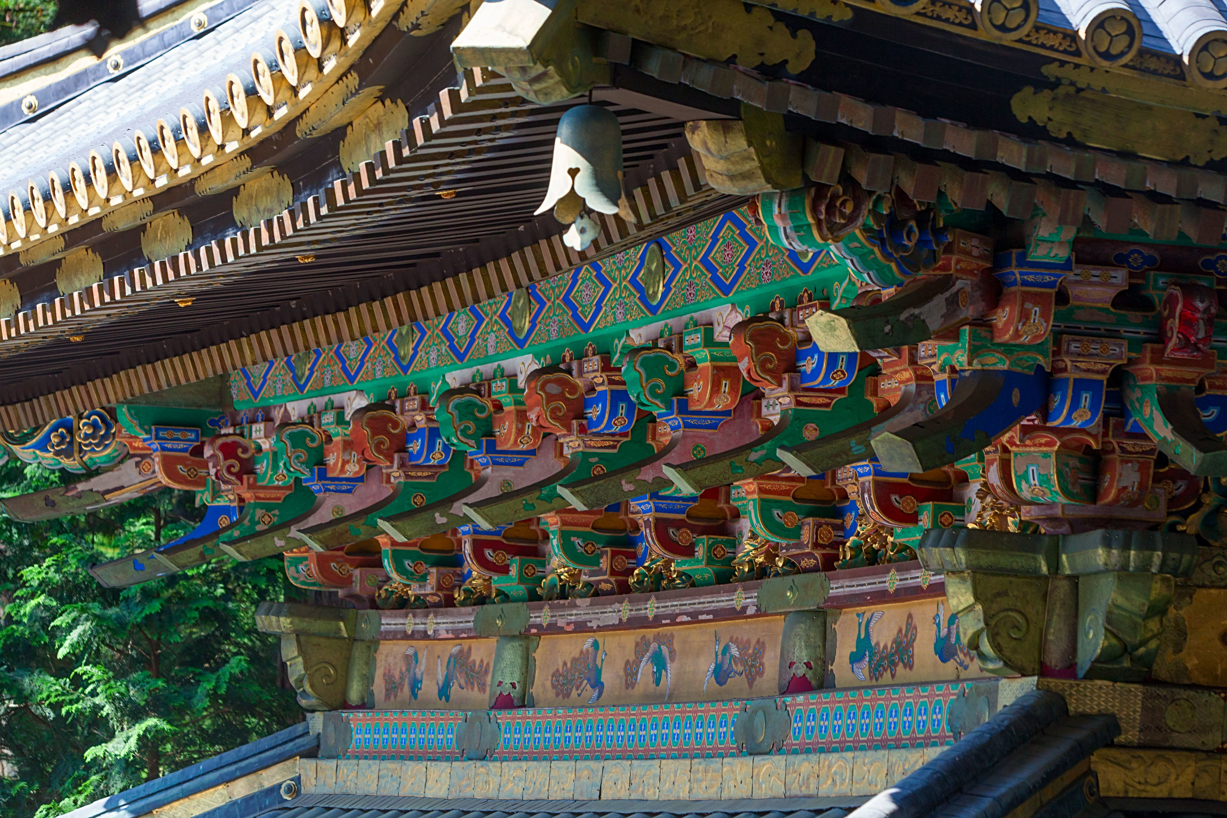
Of particular interest is Yomeimon [陽明門] Gate, one of Japan's official "National Treasures".  Yomeimon is a two-storied sangen-ikko [三間一戸] gate with a hipped roof on all sides and gables in every direction.  Yomeimon has copper-tile roofing and more than 500 carvings of historical anecdotes, children at play, wise men, dragons, and more.

My high-resolution image of Yomeimon measures 15,487 x 13,004 pixels and can be printed large enough to see every detail of the gate.  Here is a preview of the full image with the area highlighted by the red box shown in the image below it - click on the lower detail image to view a somewhat larger version.

Screen Shot 2016-12-28 at 9.24.32 AM.png

The photos just published include many close-ups of the amazing sculptures that cover Yomeimon and other structures in Toshogu and other shrines in the area.

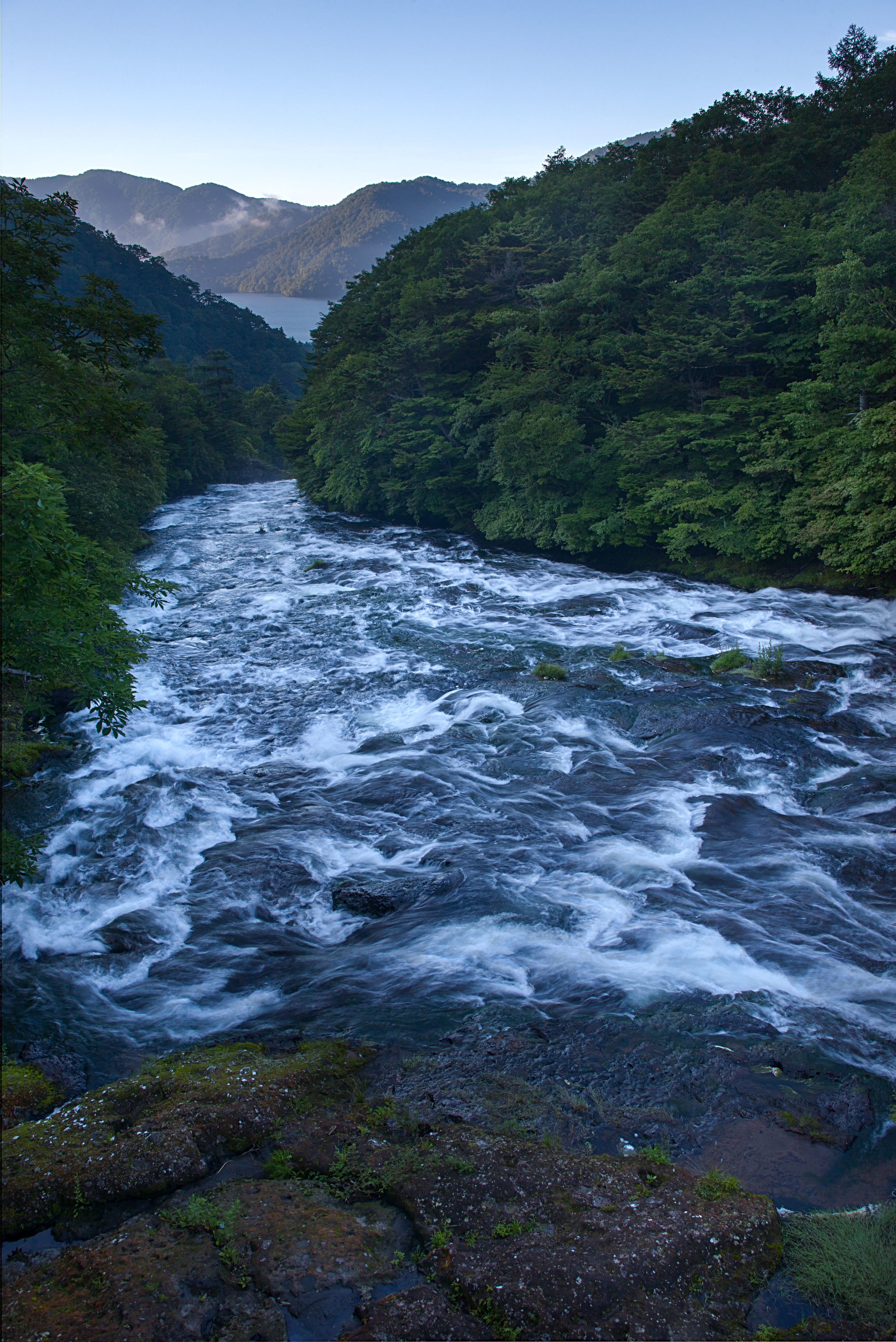
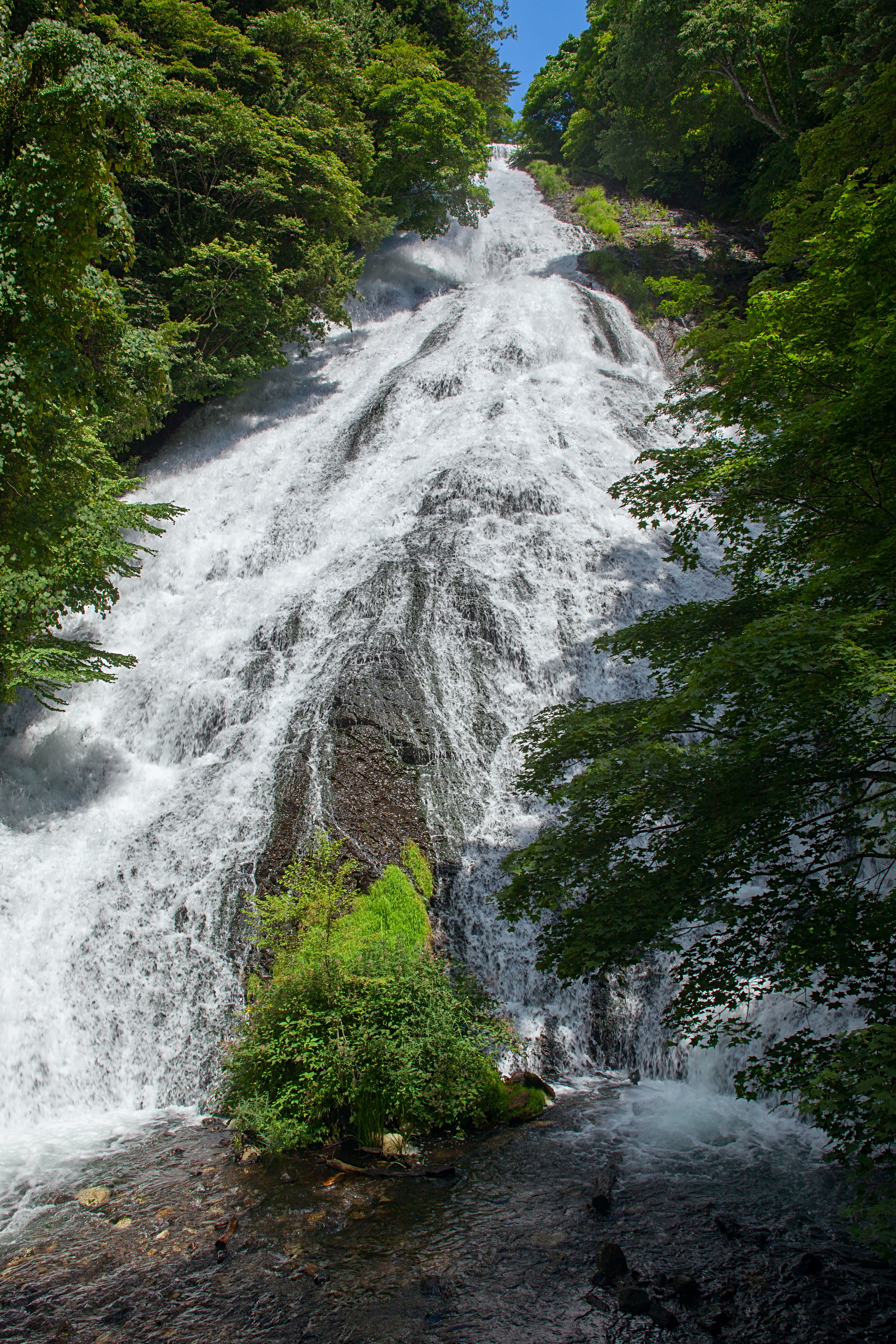
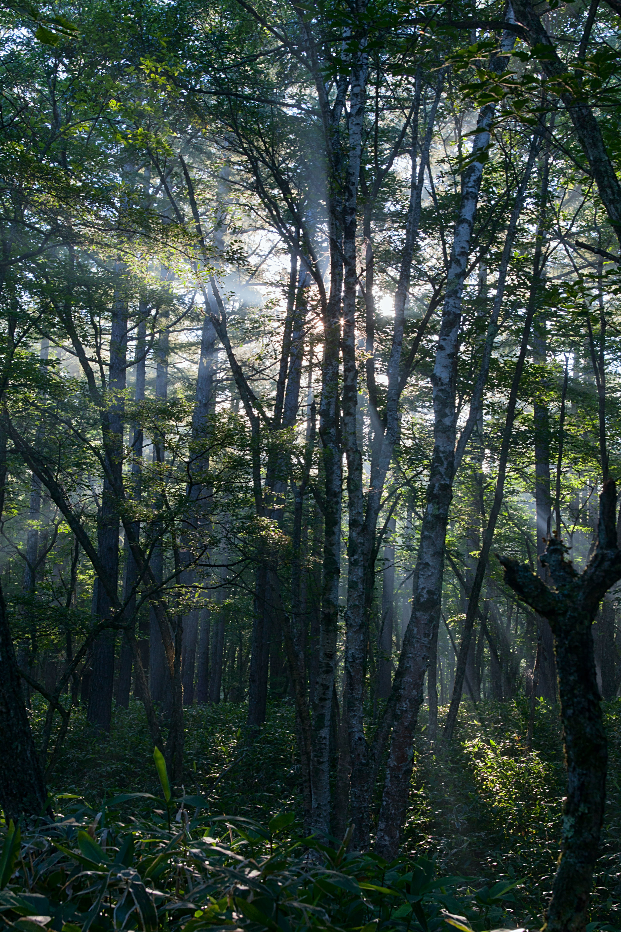
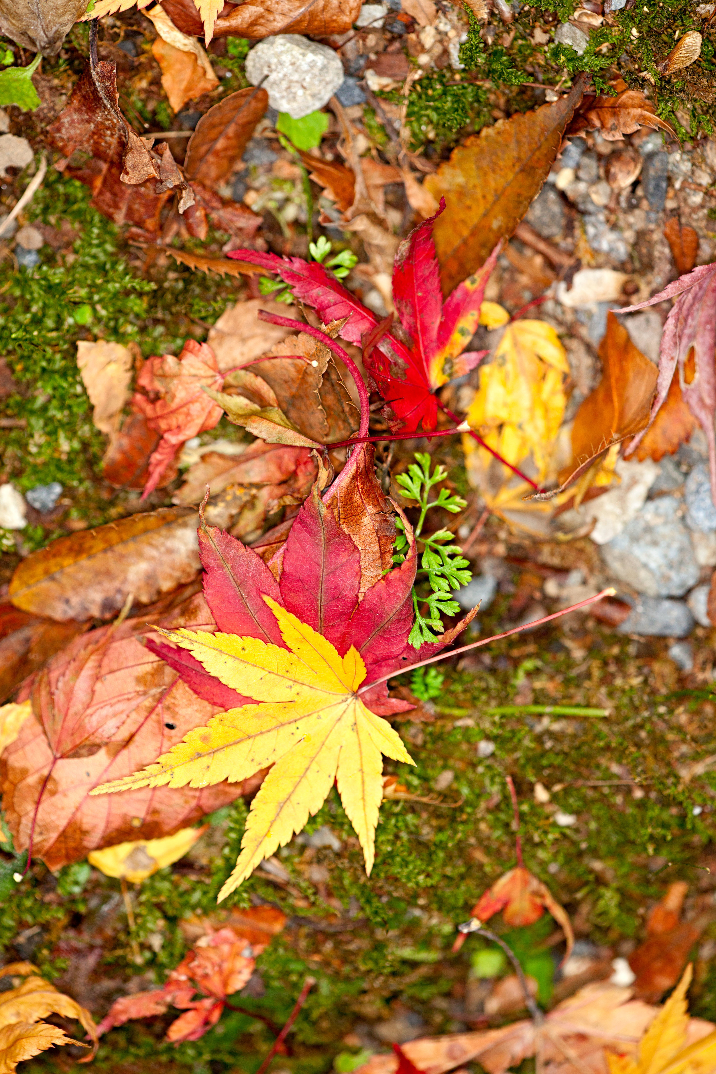
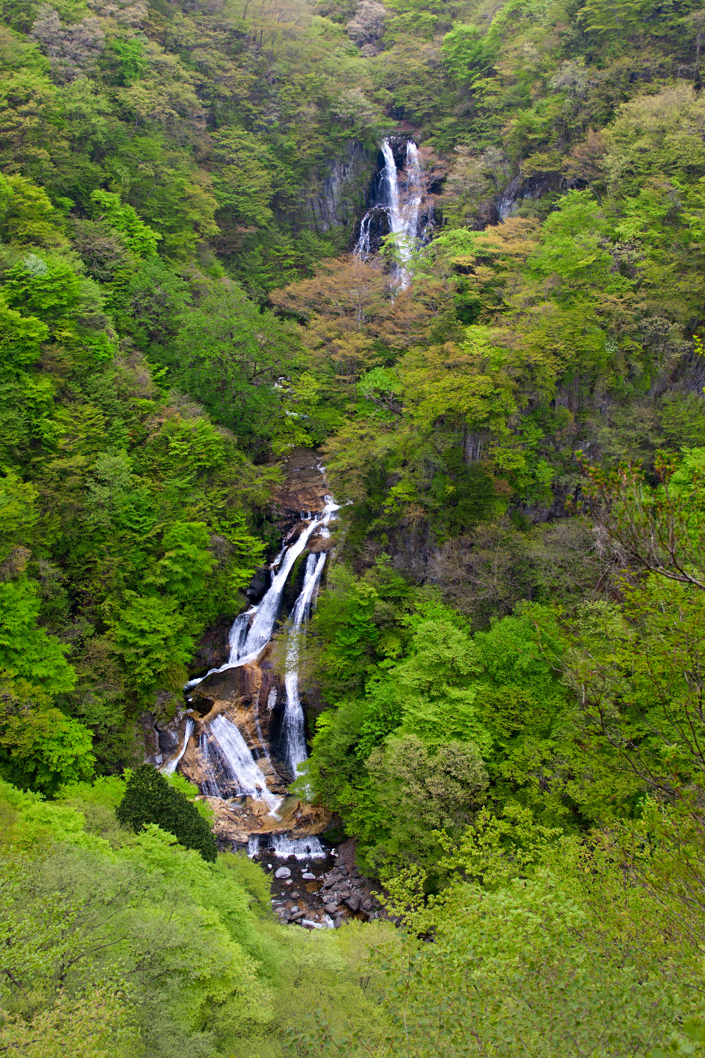
There are also images from so-called "Oku Nikko" ["inner Nikko"] in the mountains above the city including Senjogahara [戦場ヶ原, "battlefield moor"], lakes Yunoko [湯の湖] and Chuzenji [中禅寺湖], and waterfalls Yudaki [湯滝] and Ryuzu [竜頭滝, "dragon head"].

Here's a small gallery - to see them all, visit http://galleries.intsysint.com/Japan/Nikko/.

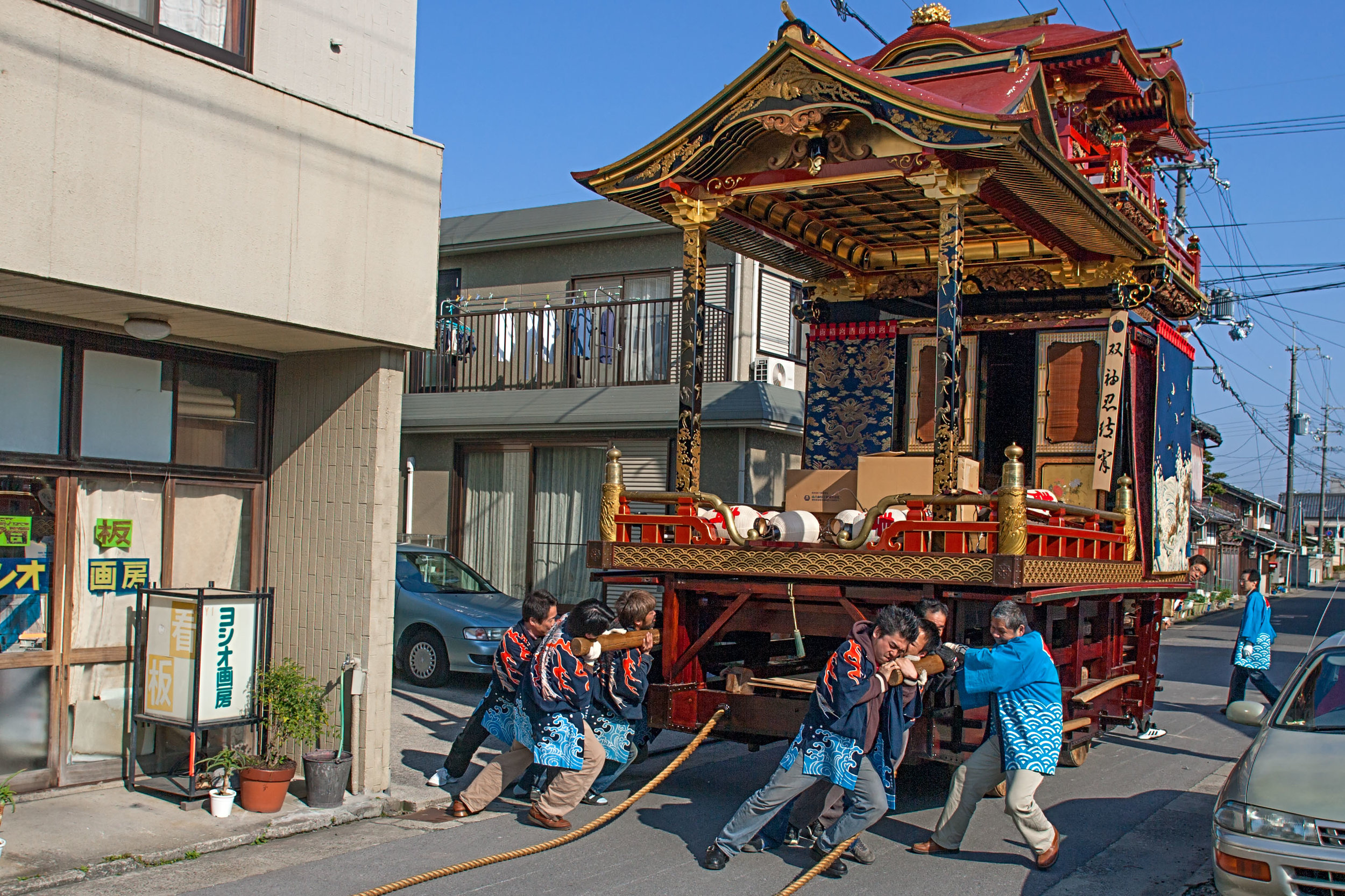
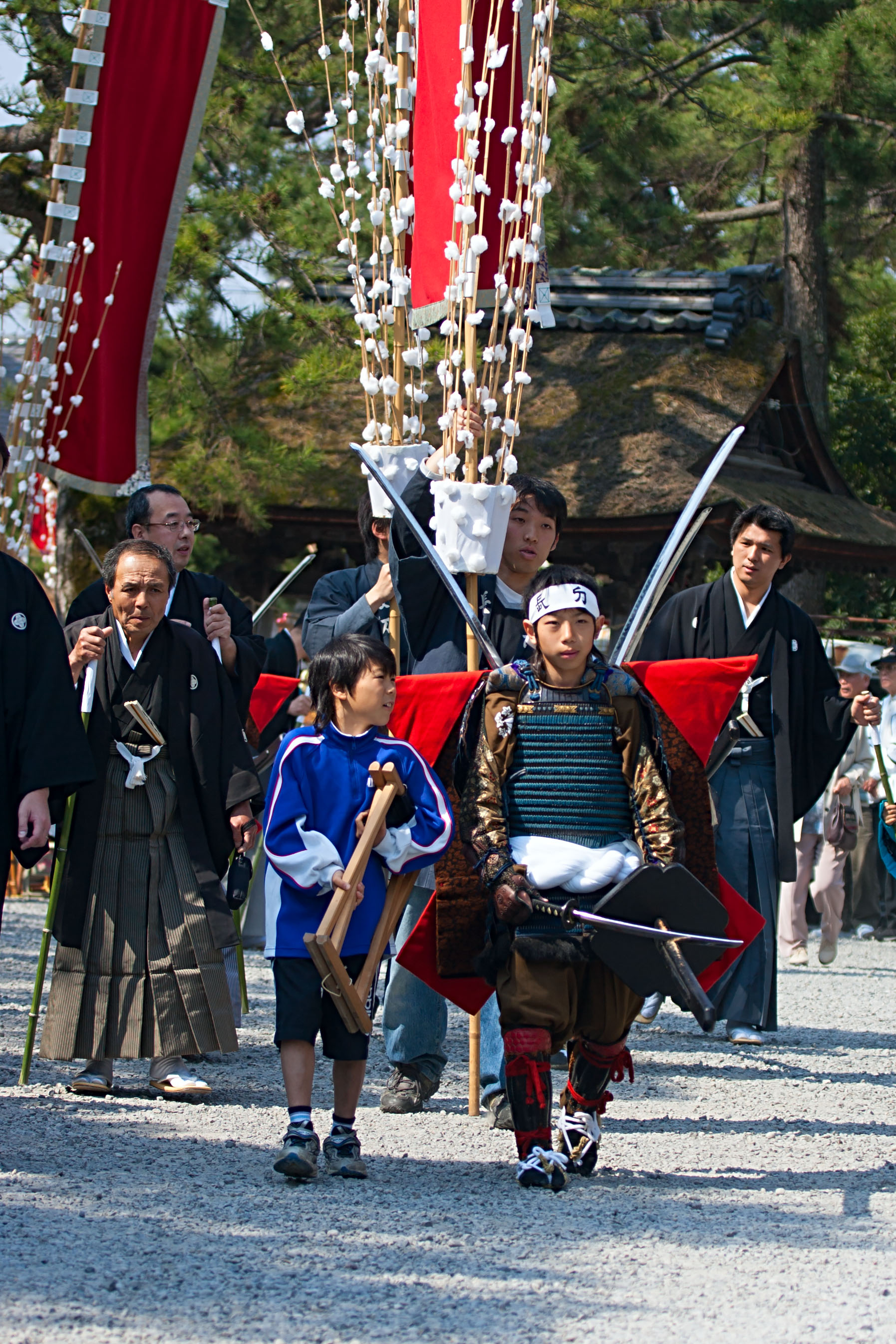
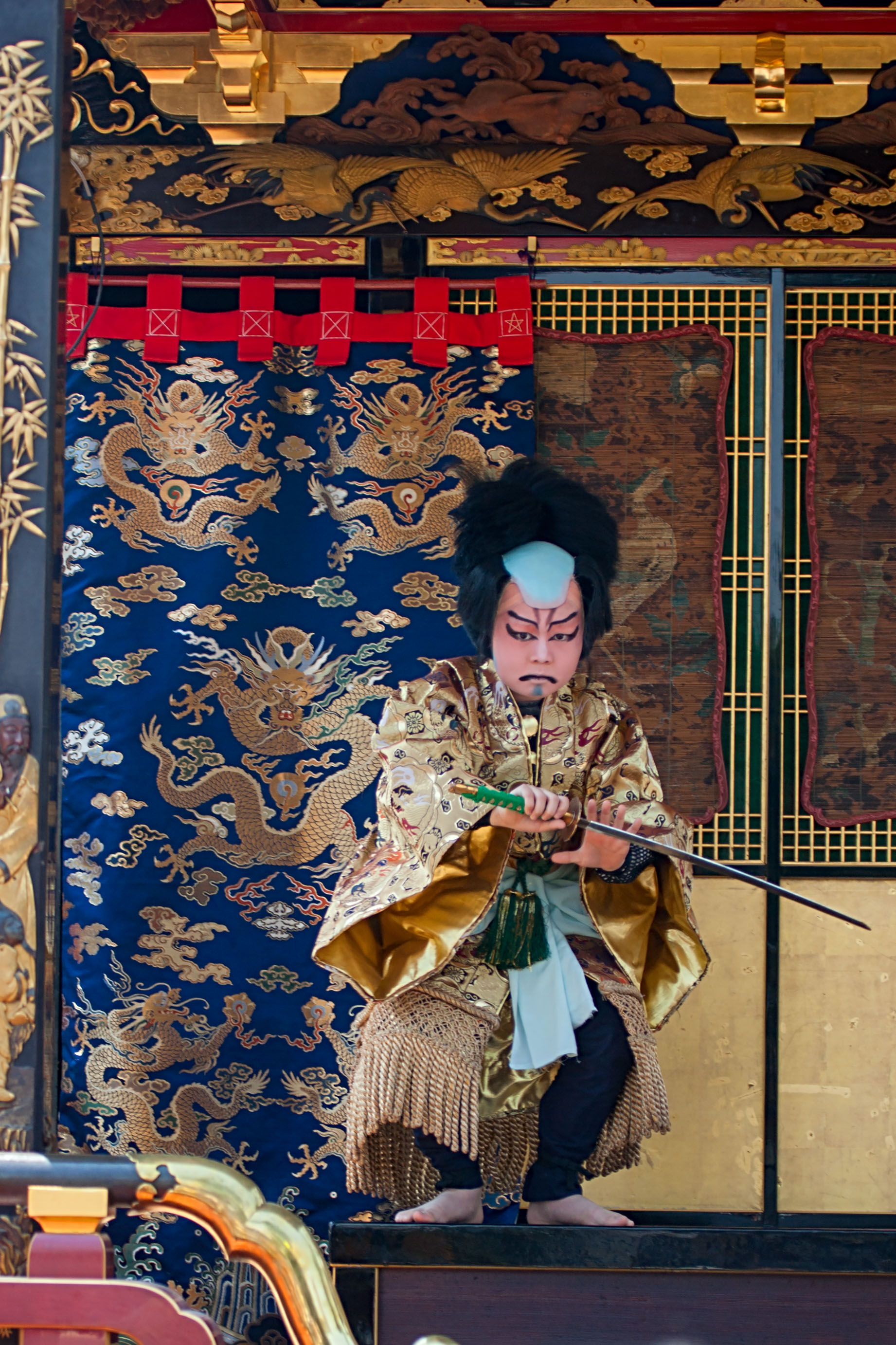
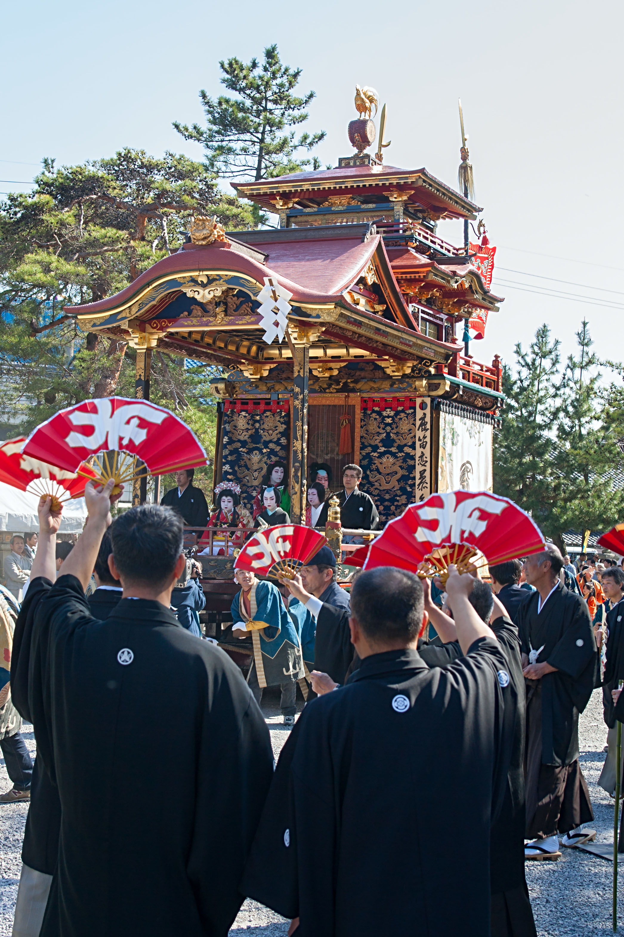
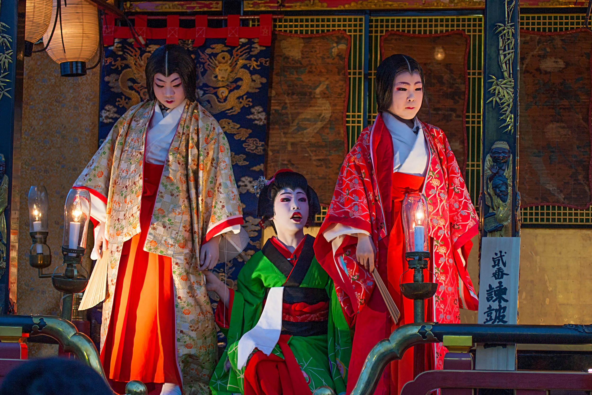
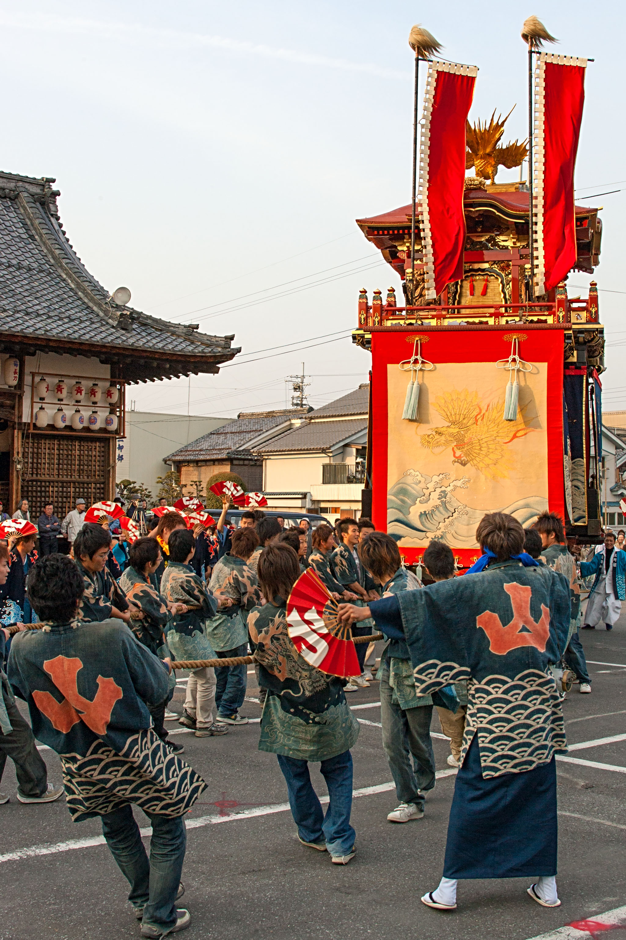
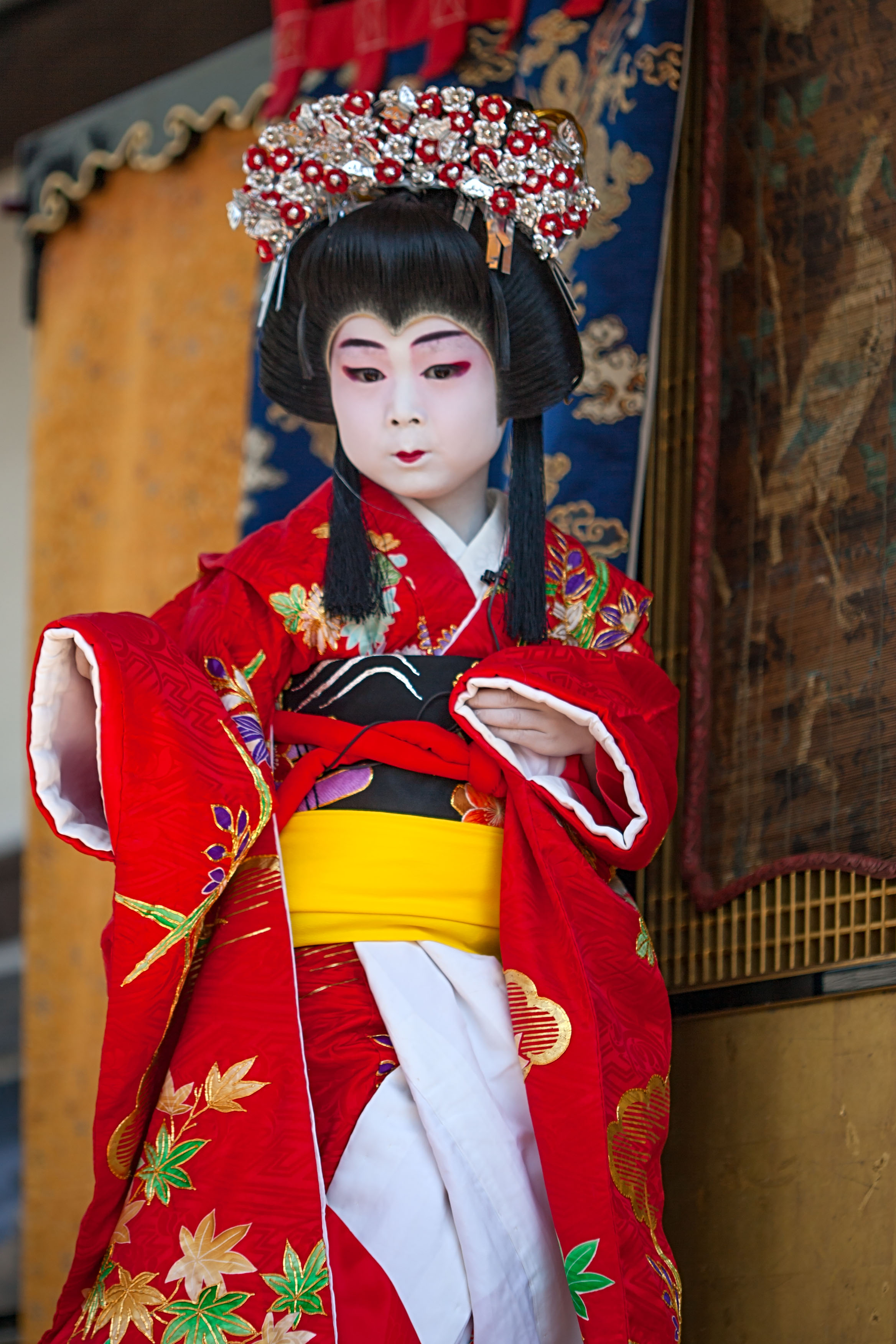
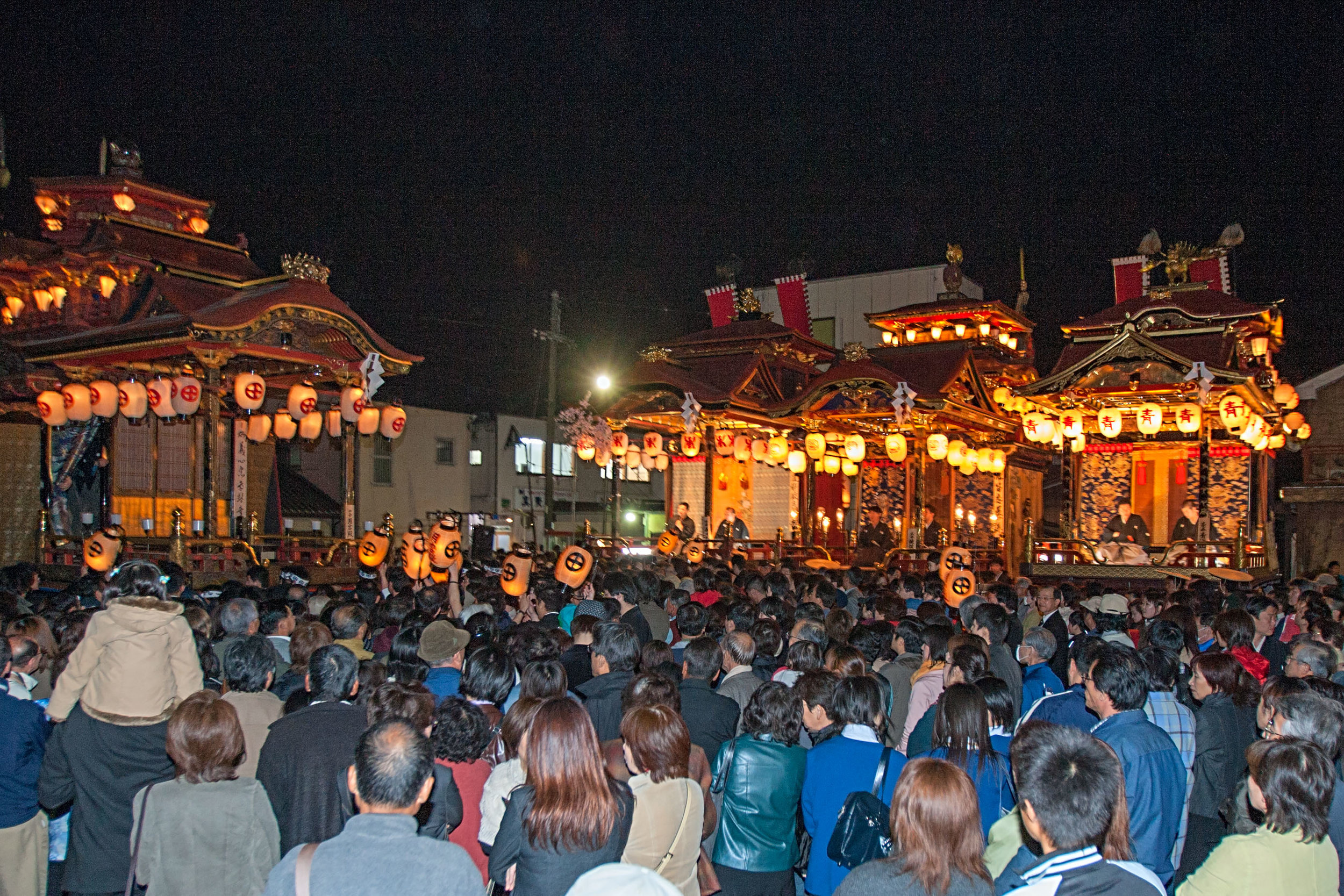
Nagahama Hikiyama Matsuri

The Nagahama Hikiyama Festival is said to have its origins around the time that Toyotomi Hideyoshi, one of Japan's great warlords, died in Nagahama, a city in Shiga Prefecture.

Huge ornate wooden floats are dragged around the town and at various locations, and boys aged 5 - 12 years old perform so-called "kids kabuki" plays on their elevated platforms.

To view the complete gallery, go here: http://galleries.intsysint.com/Japan/Nagahama/
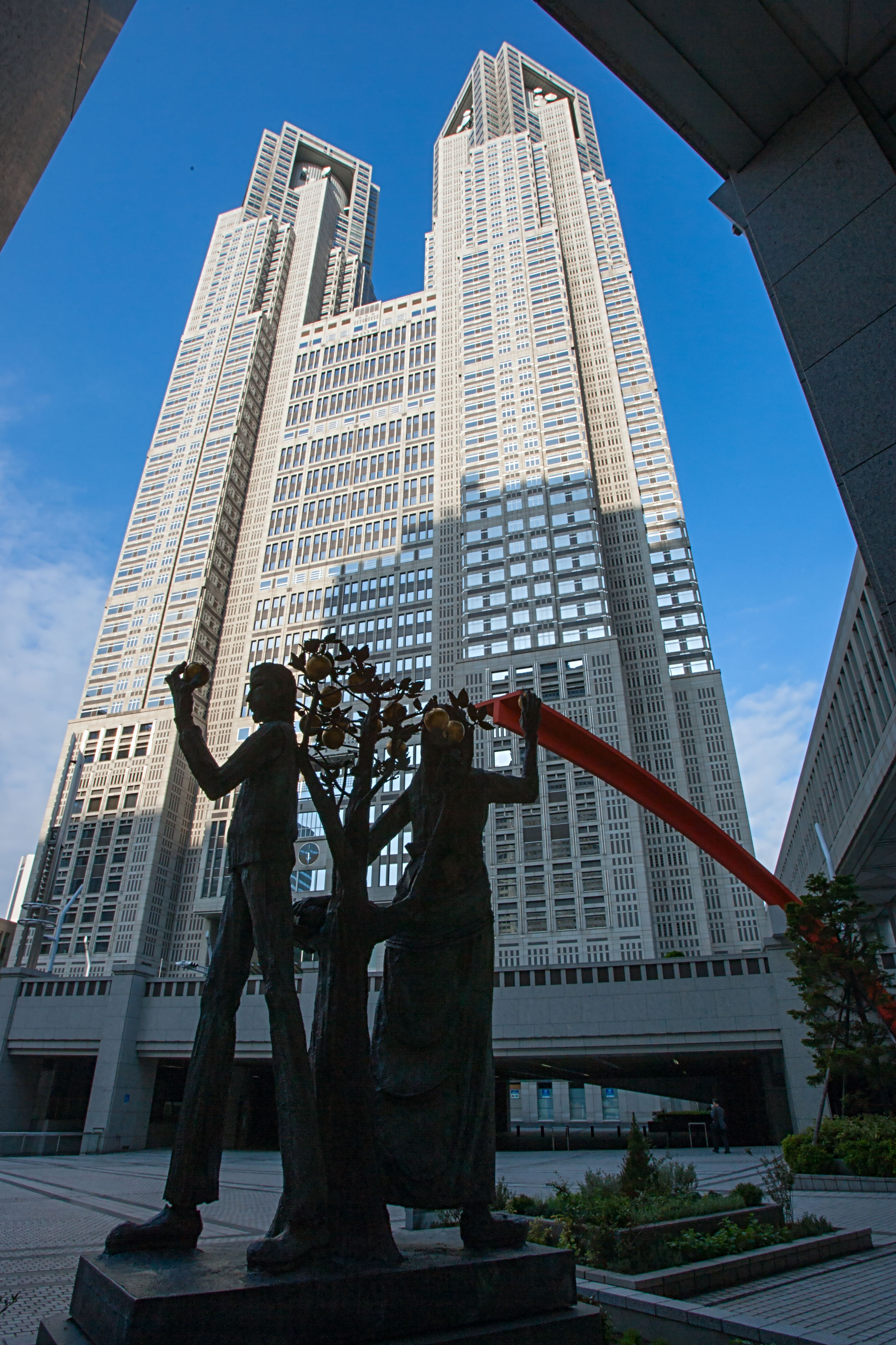
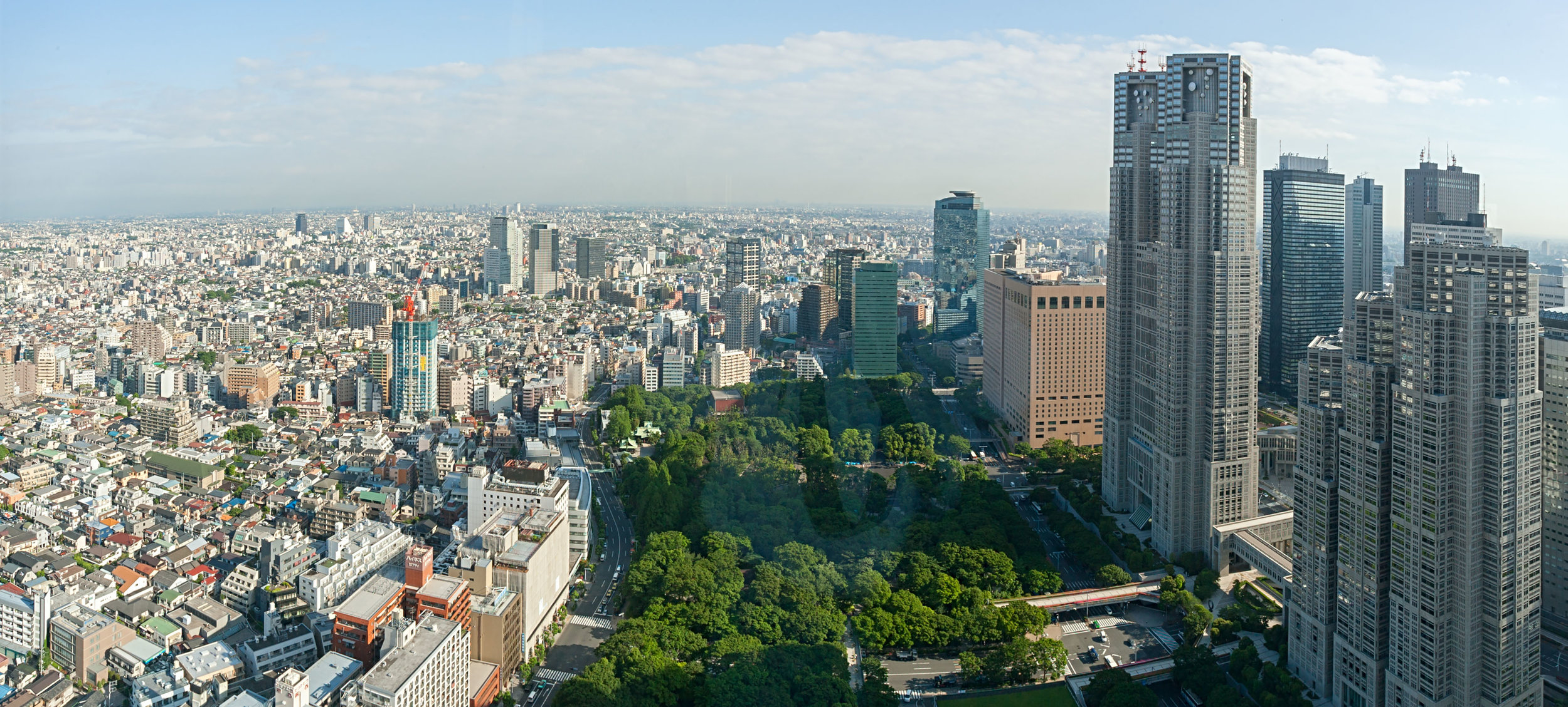
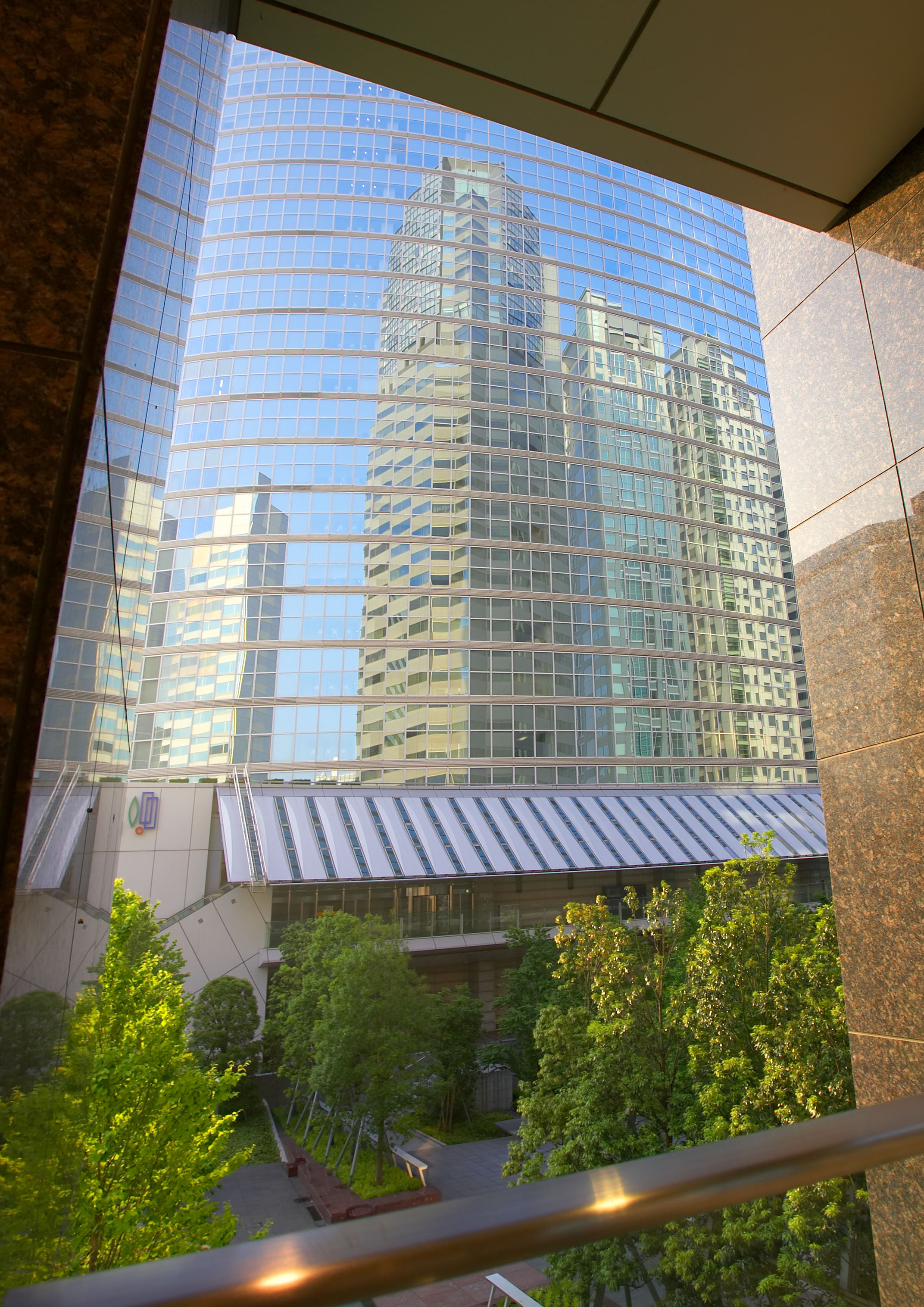
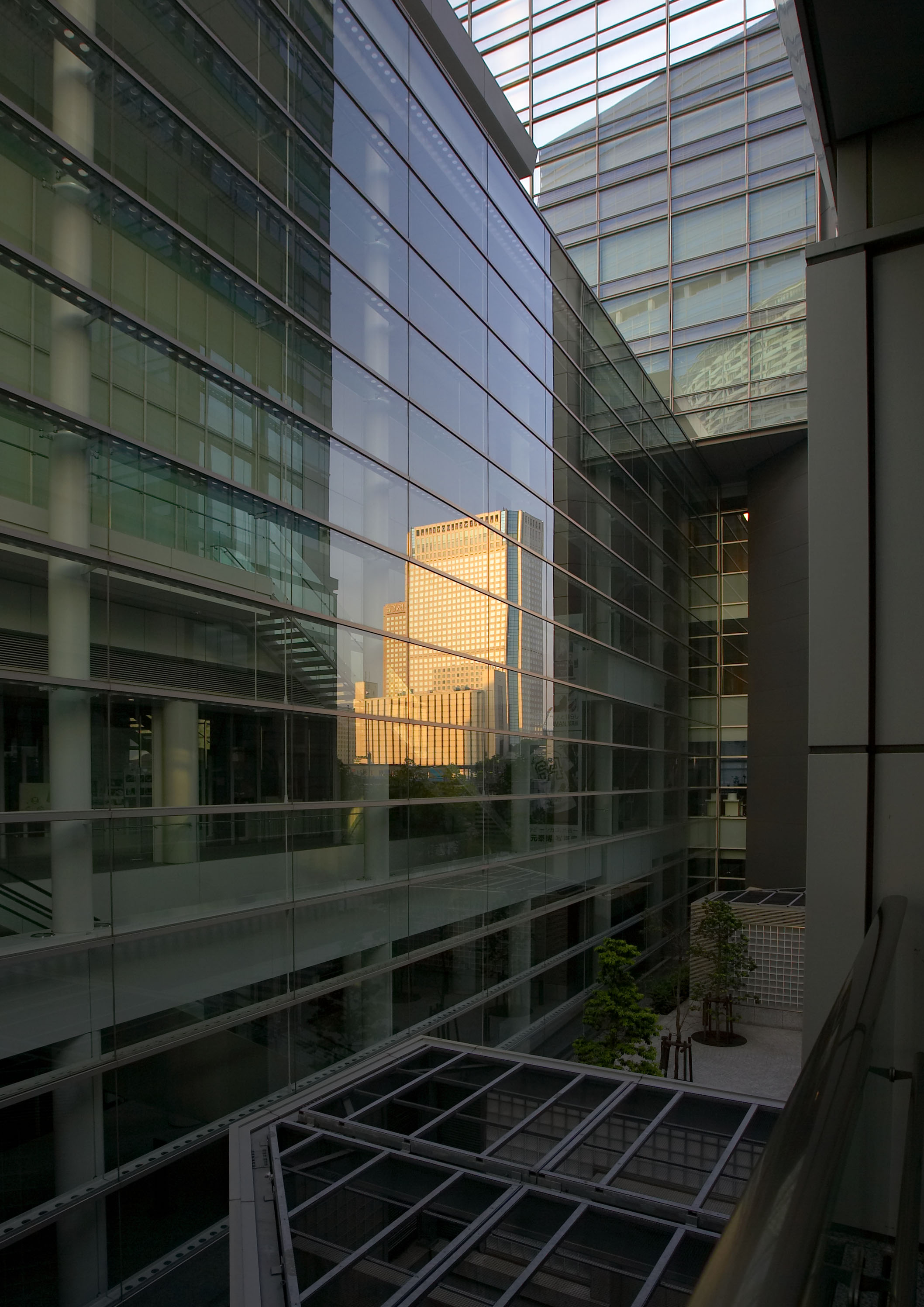
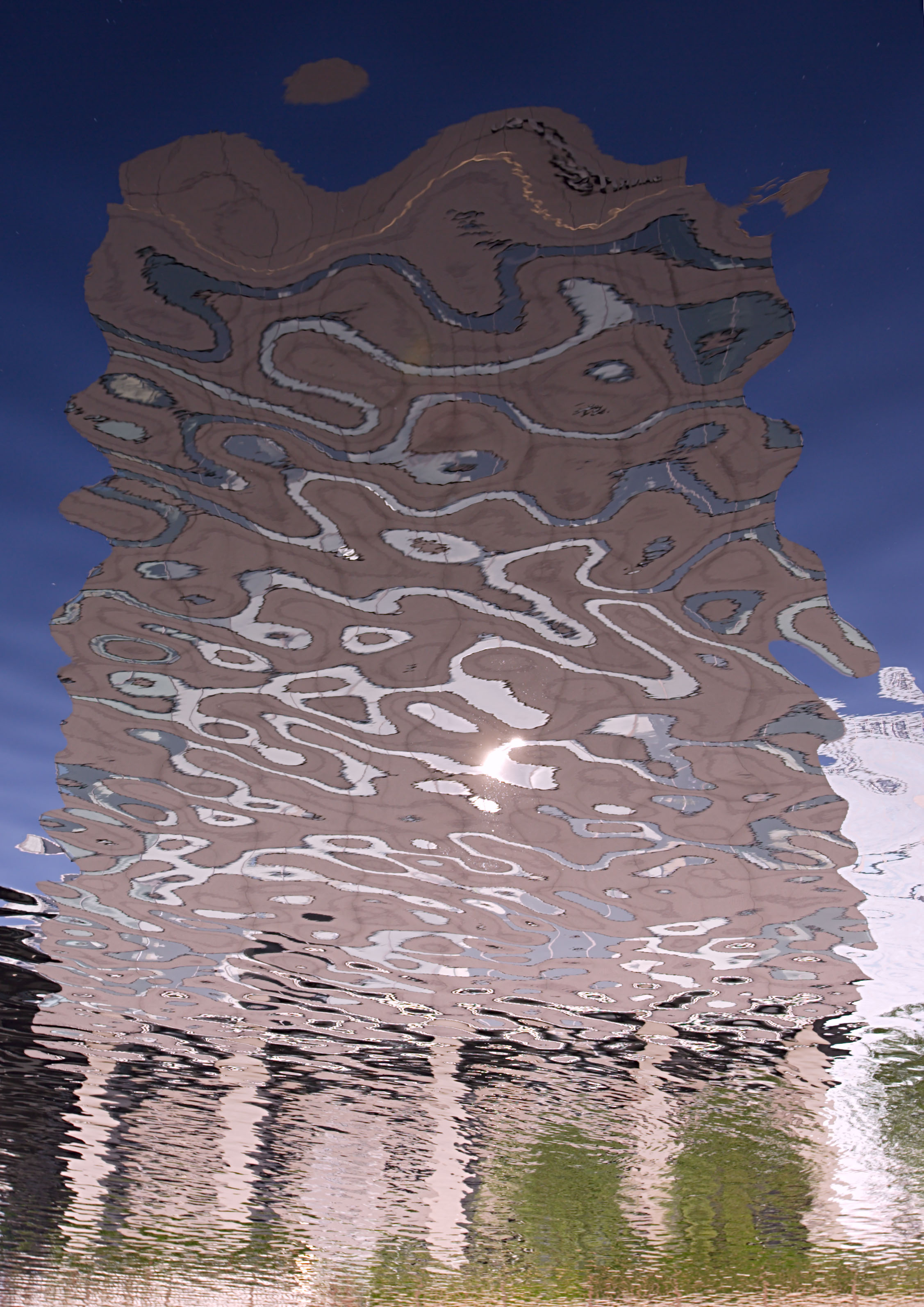
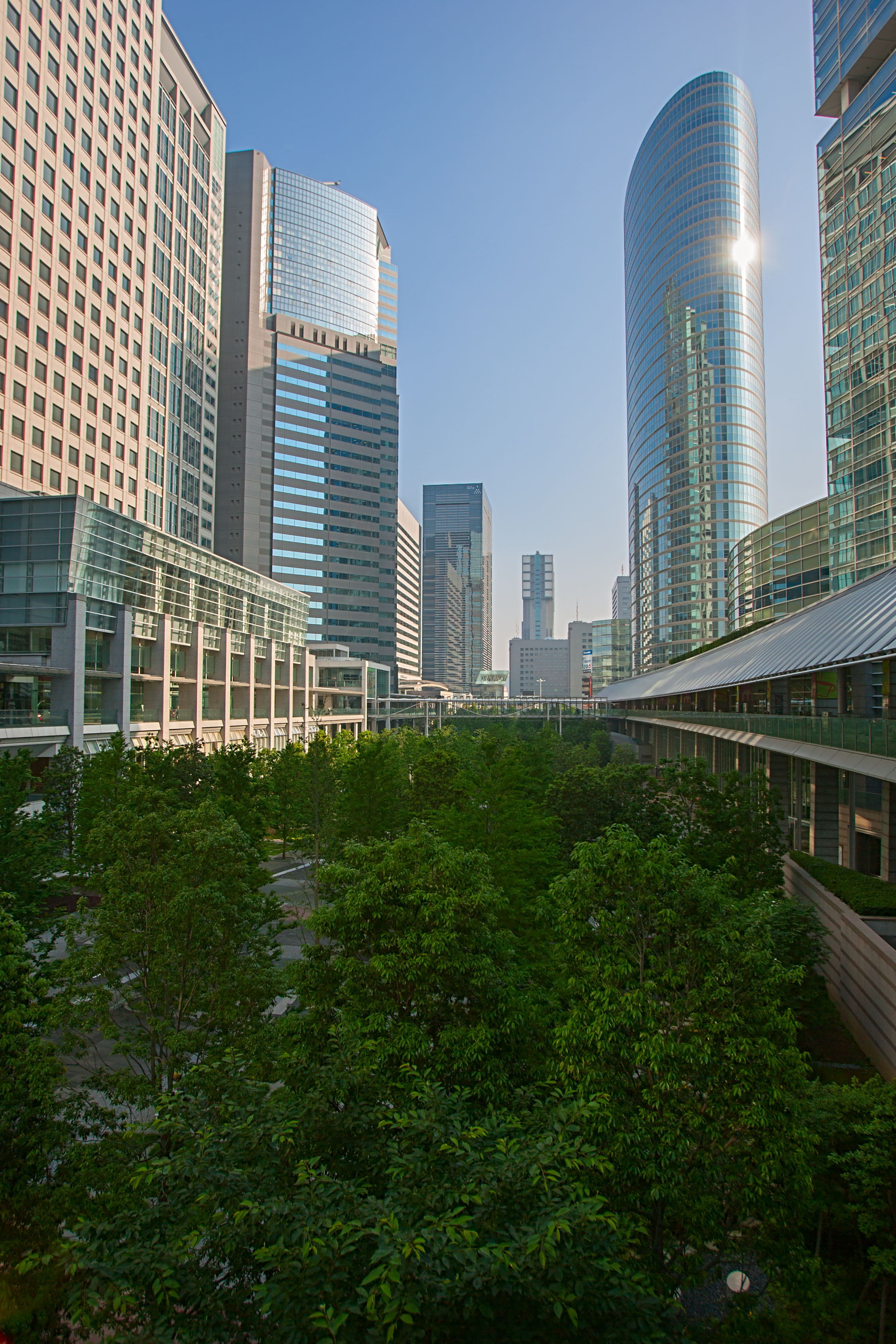
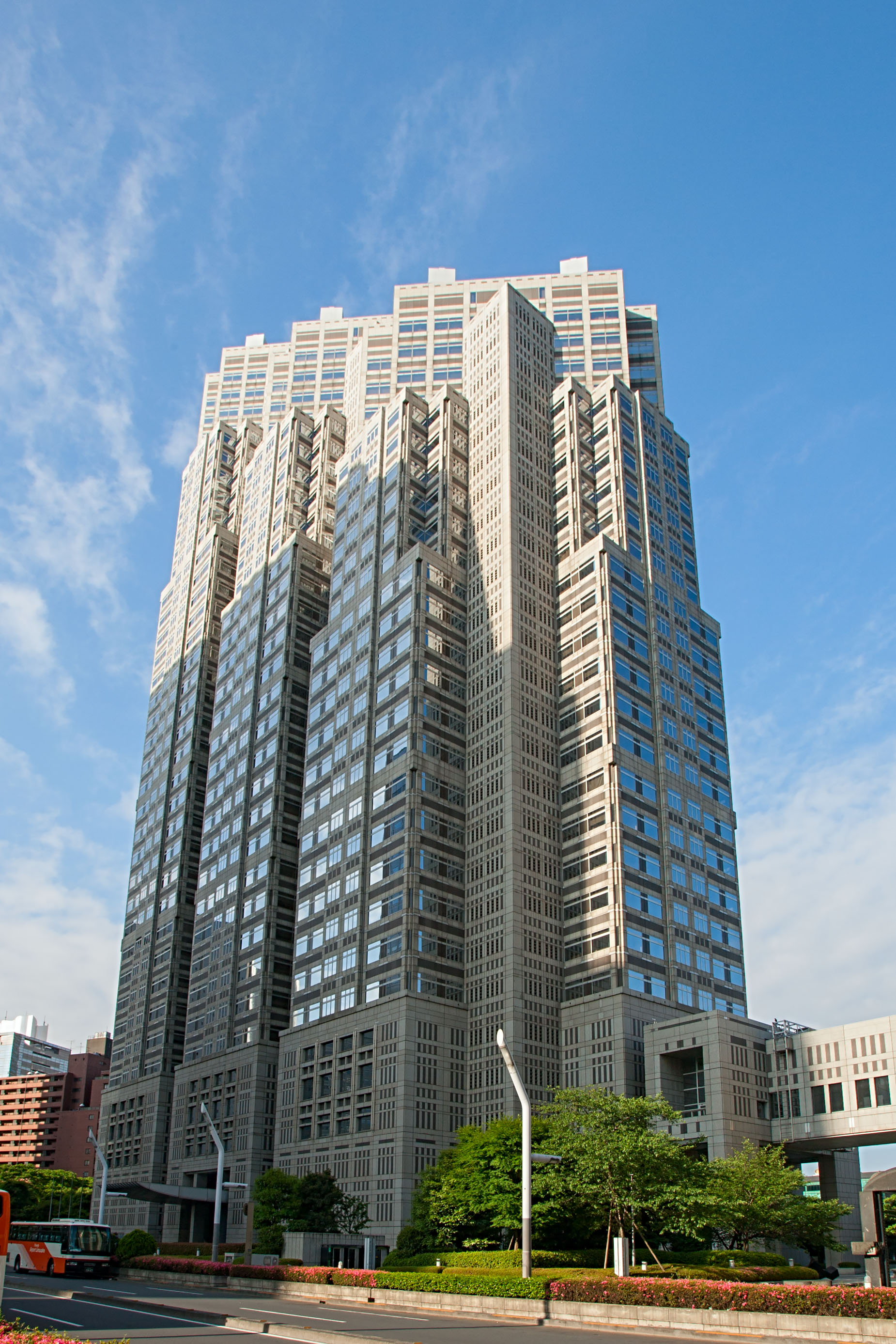
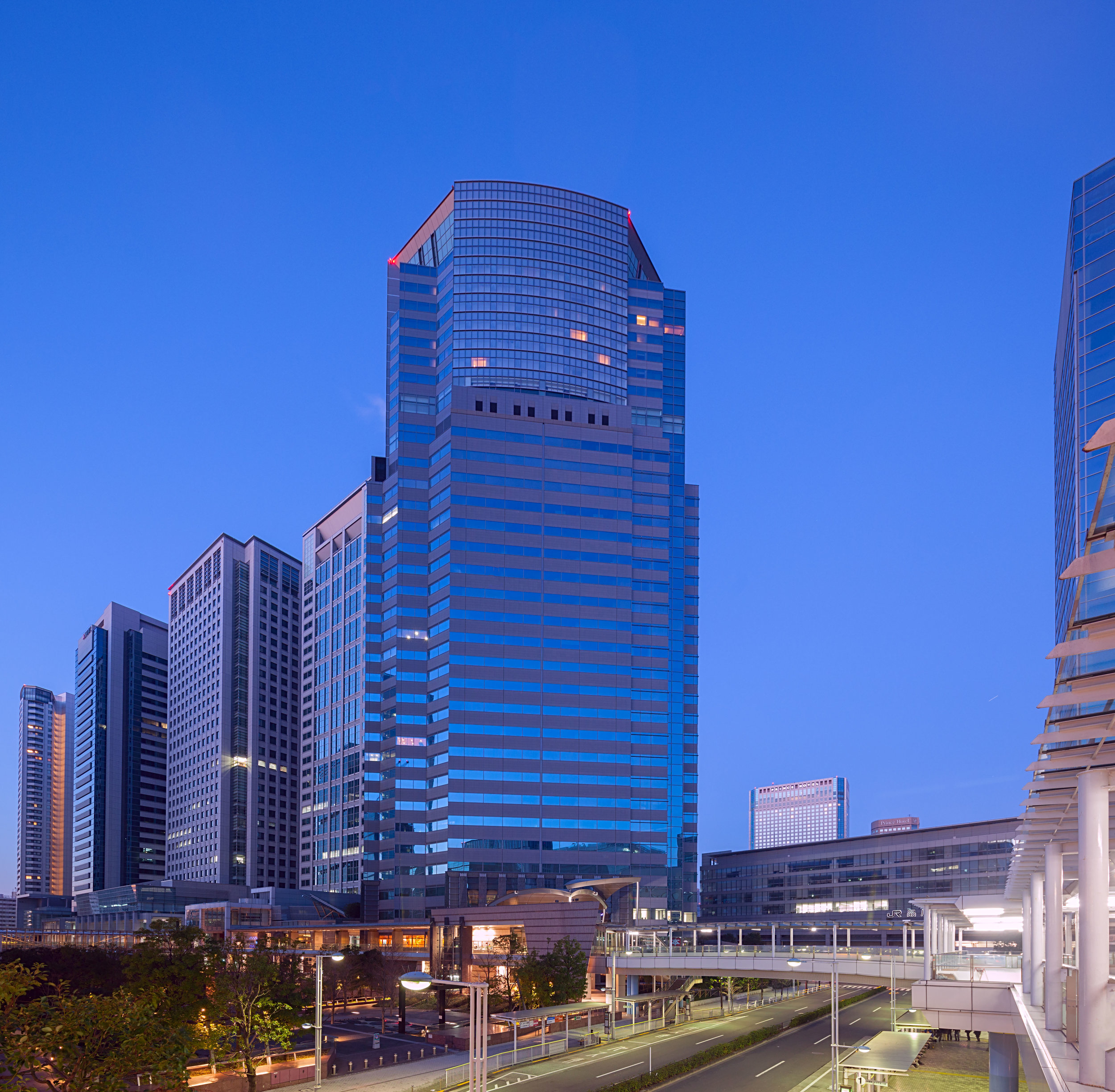
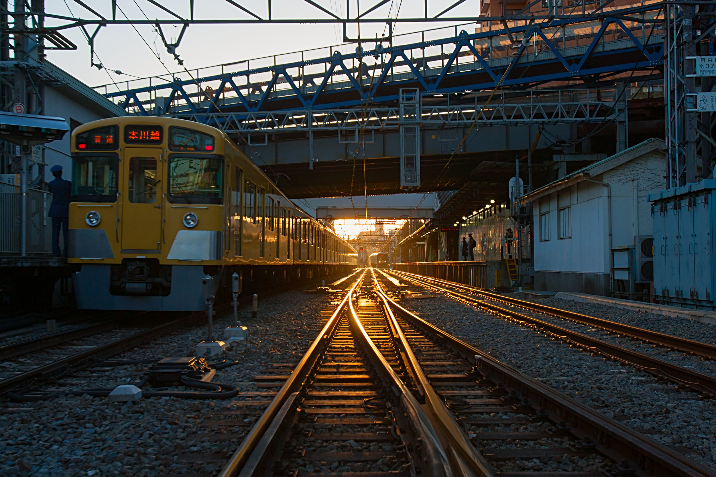
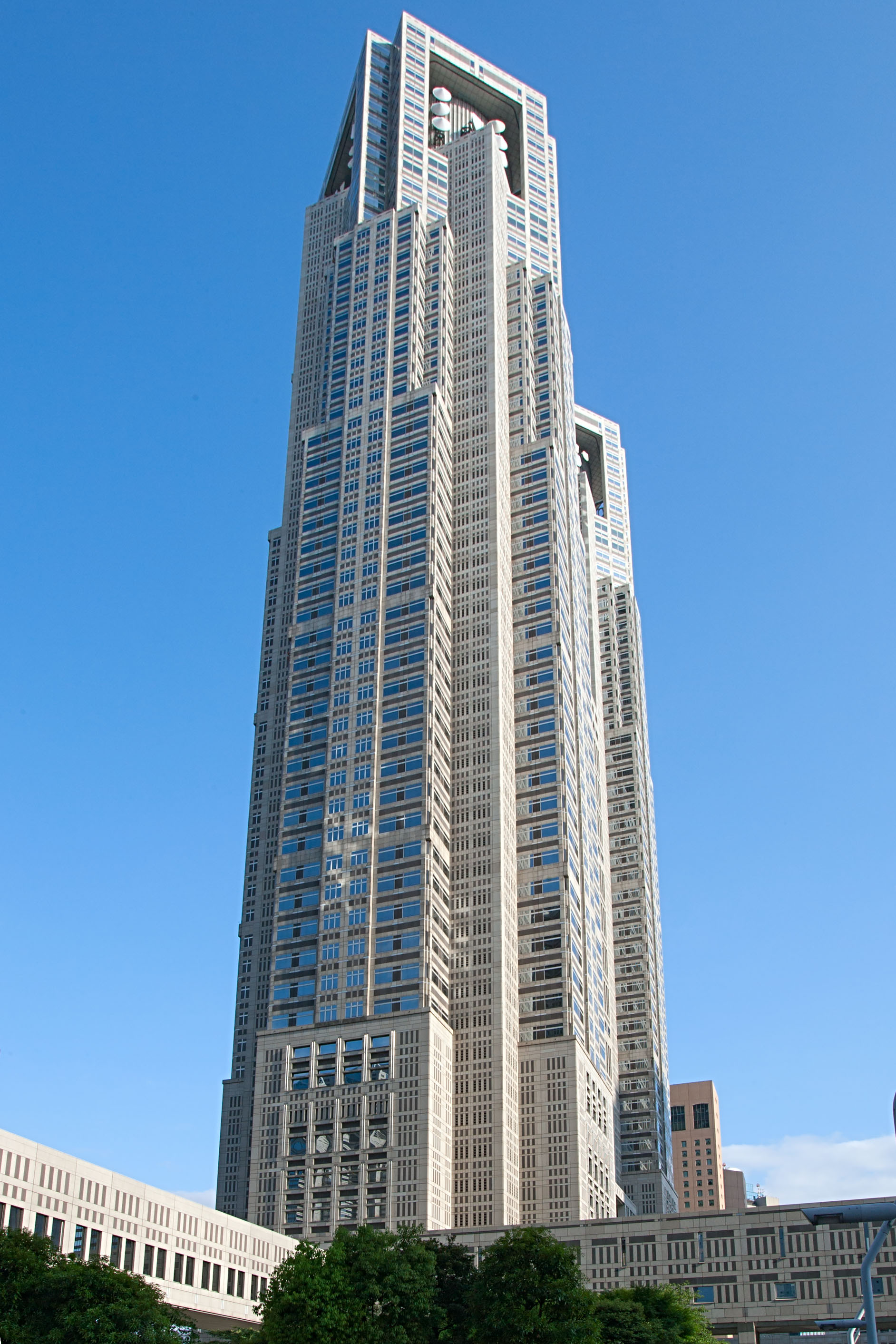
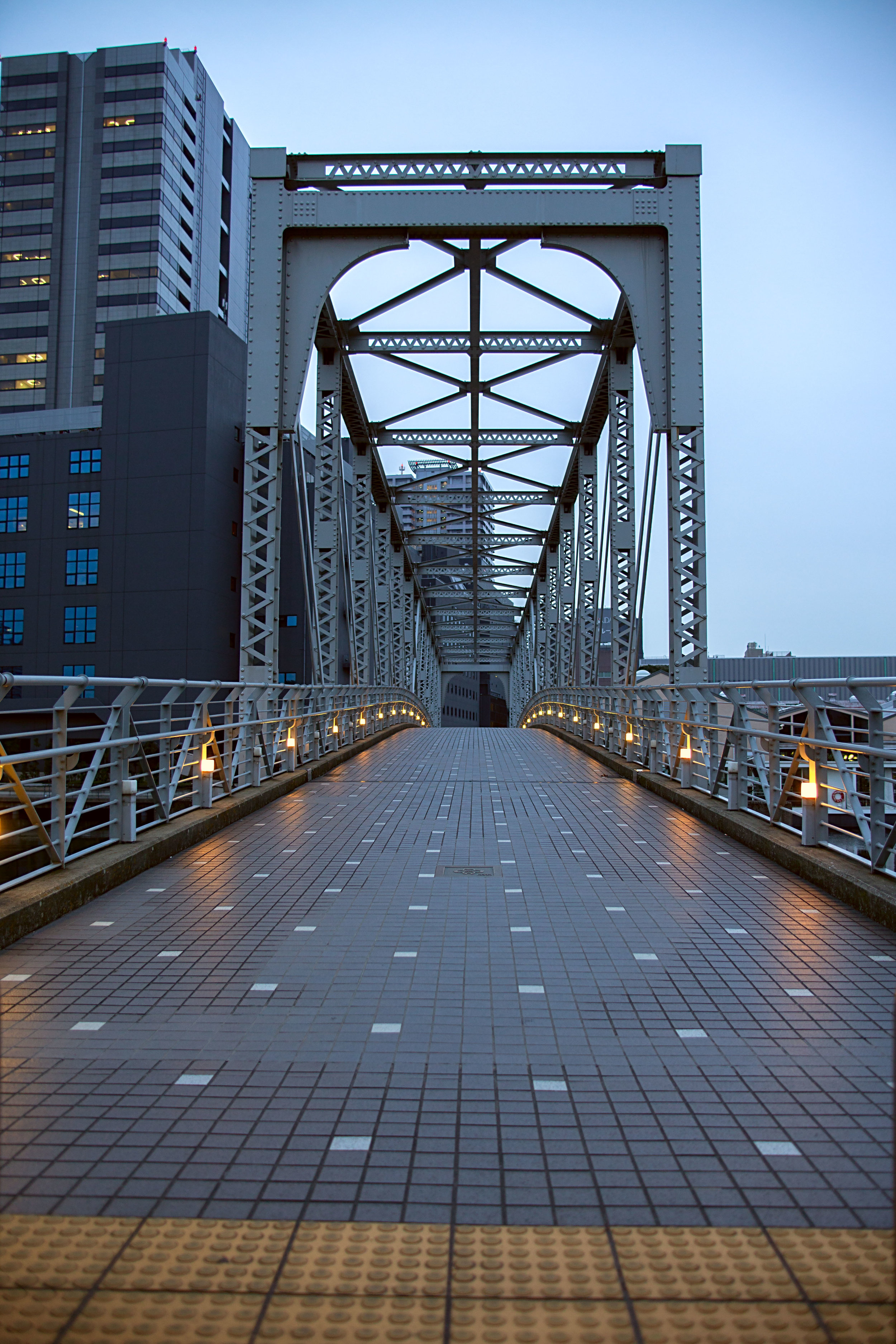
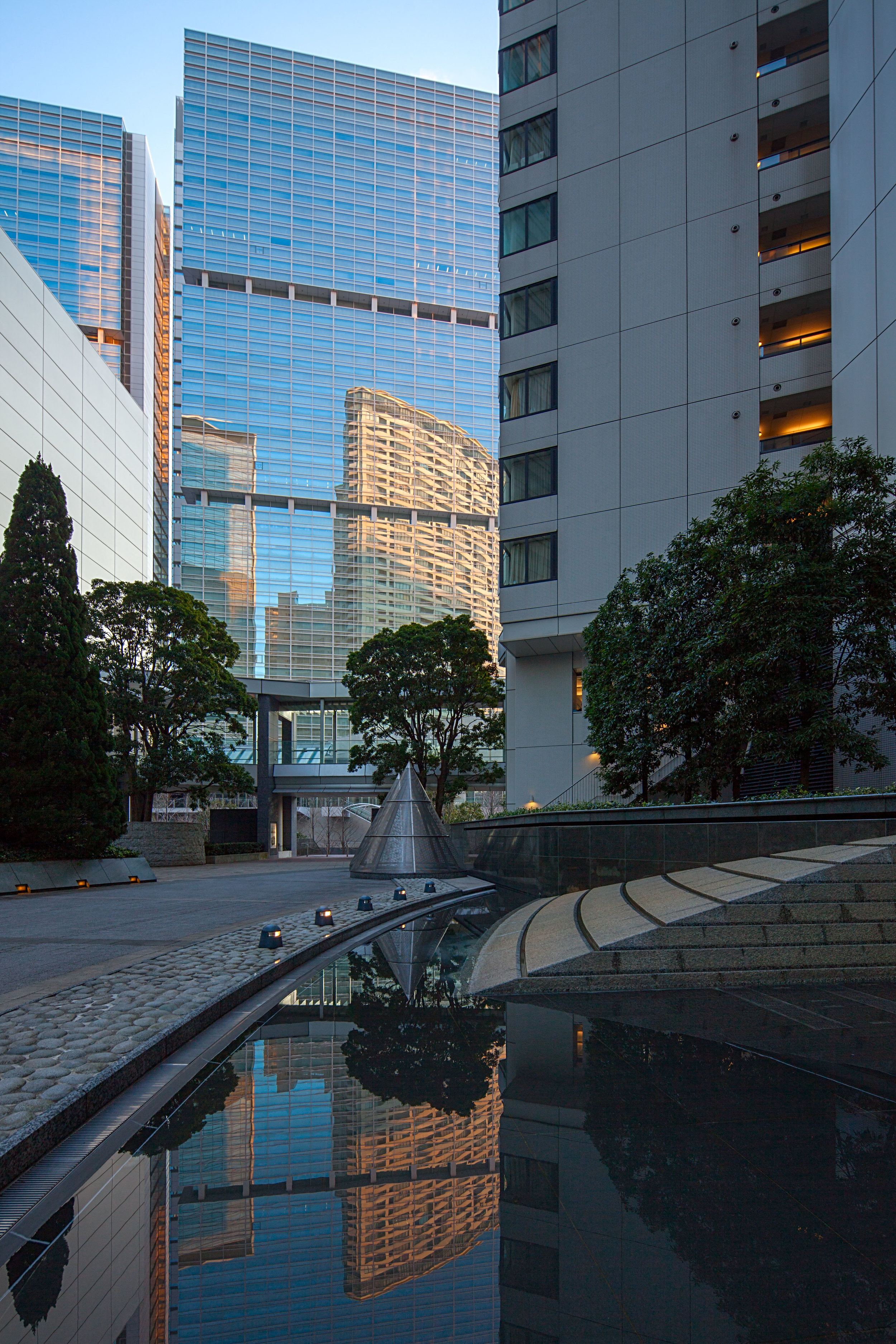
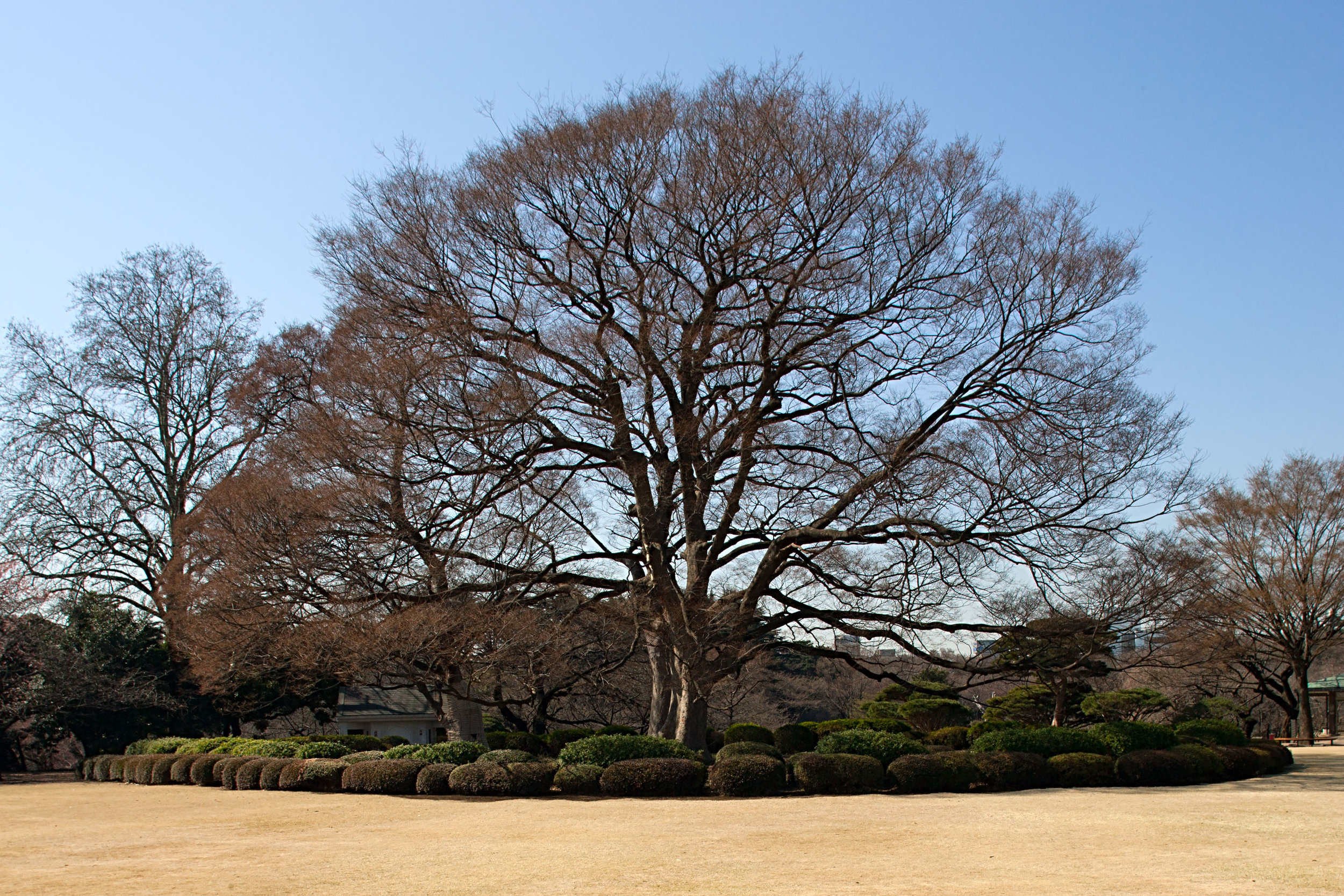
Tokyo

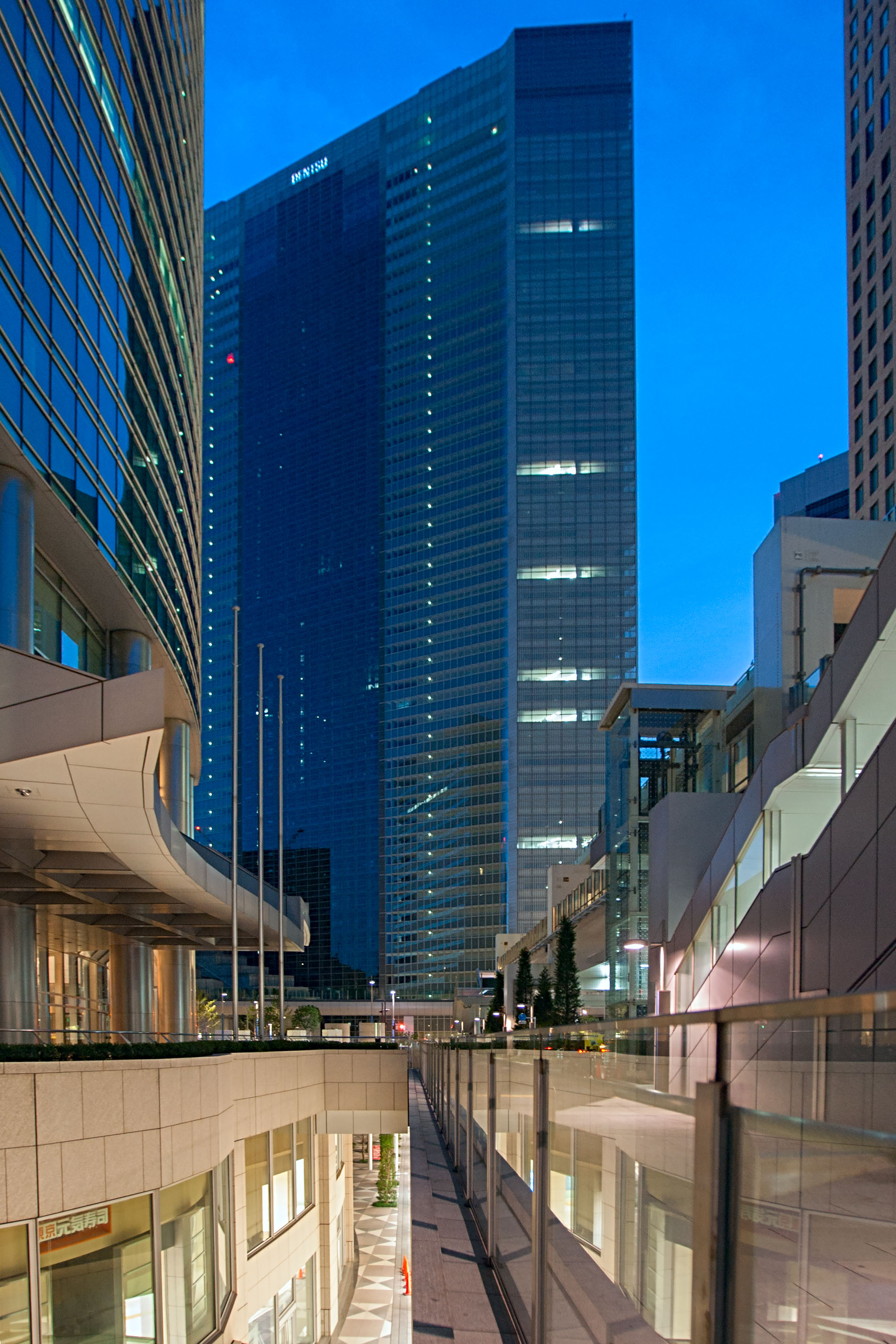
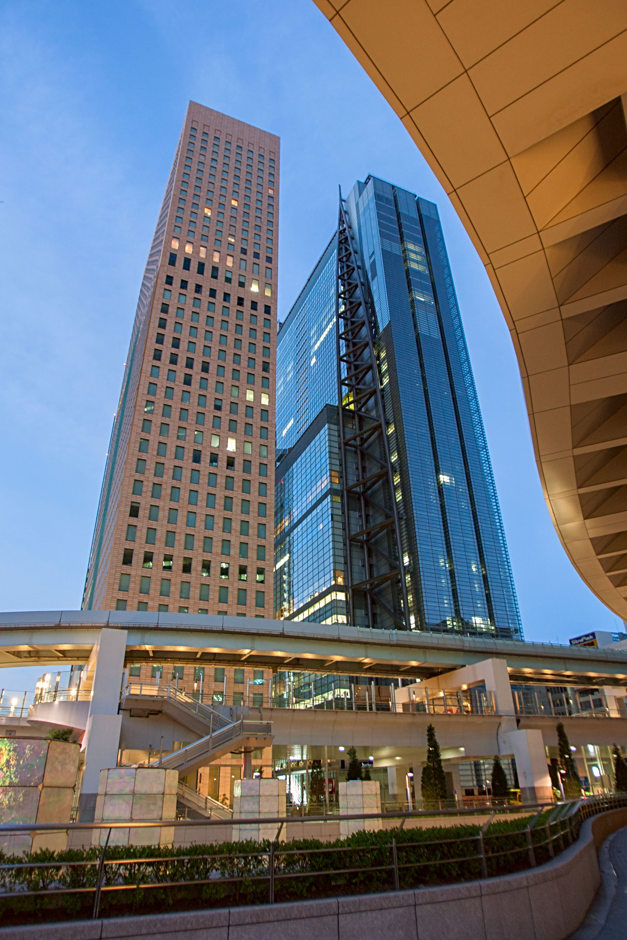
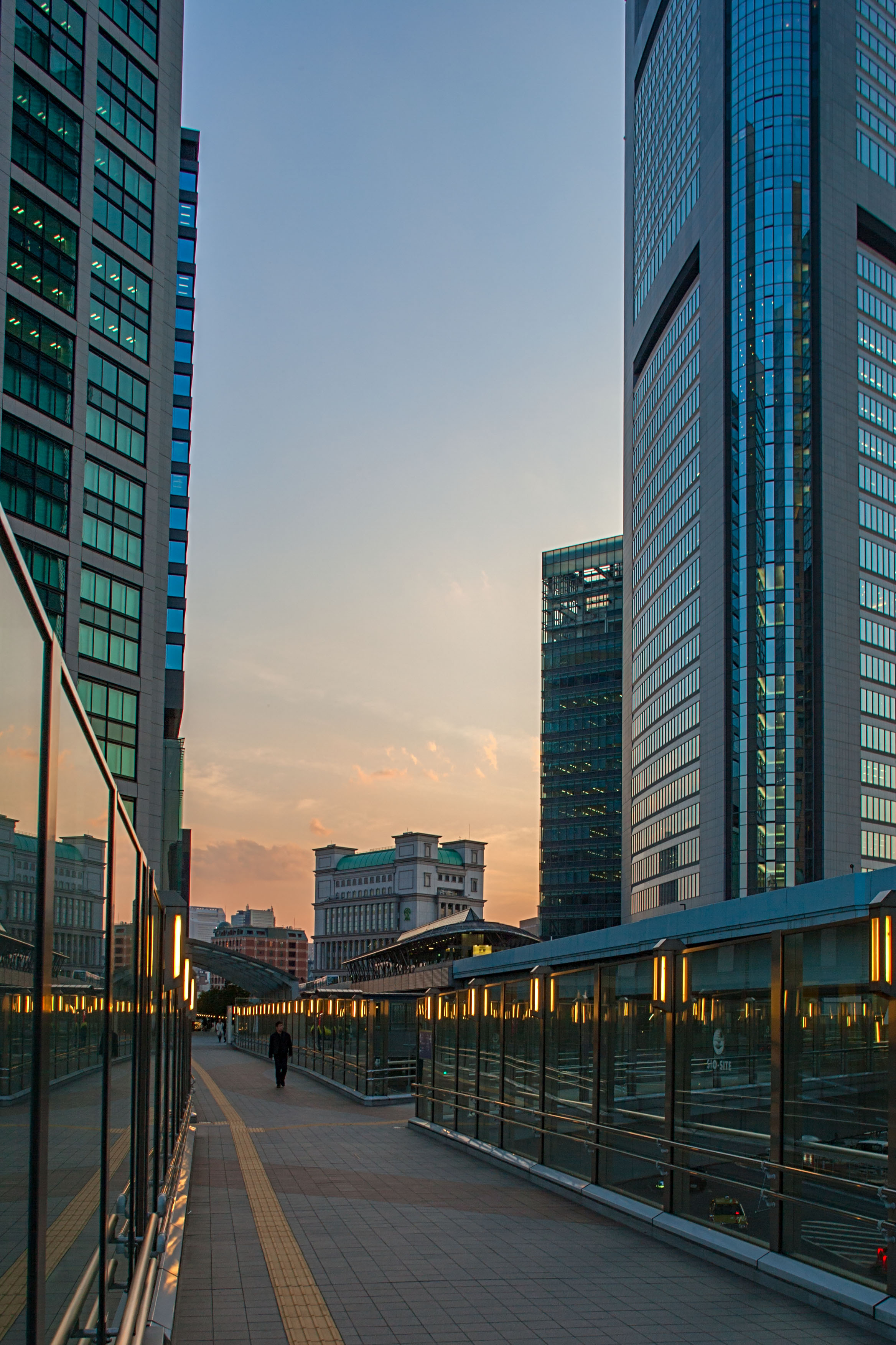
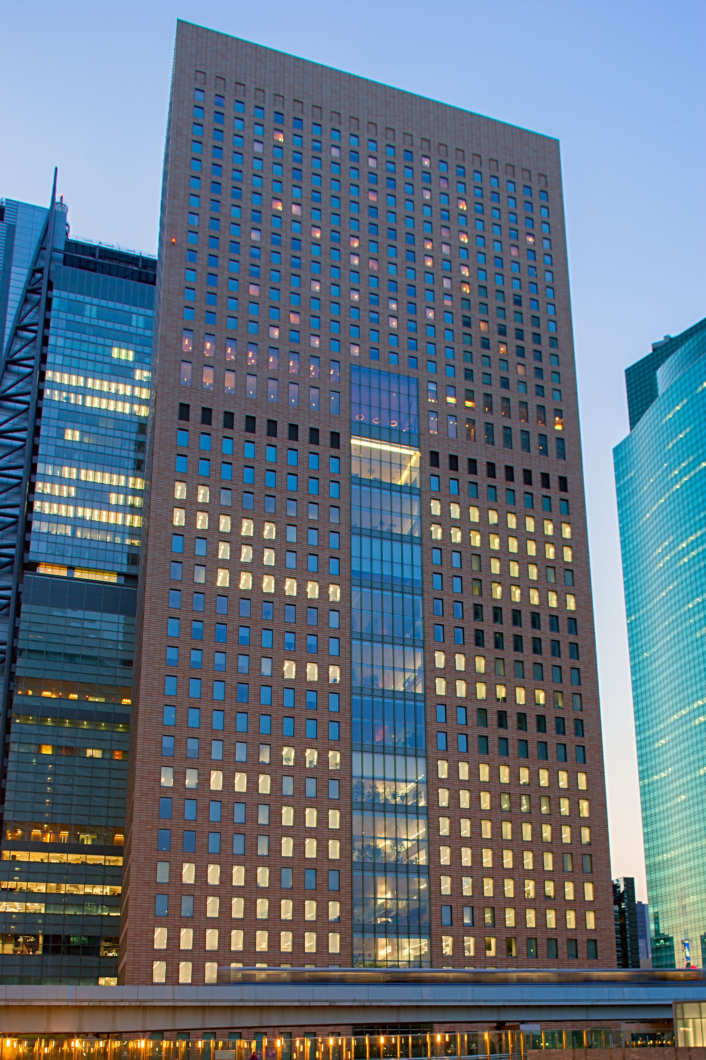
Many new photographs of some of the impressive modern architecture around Tokyo, especially the Shiodome area.
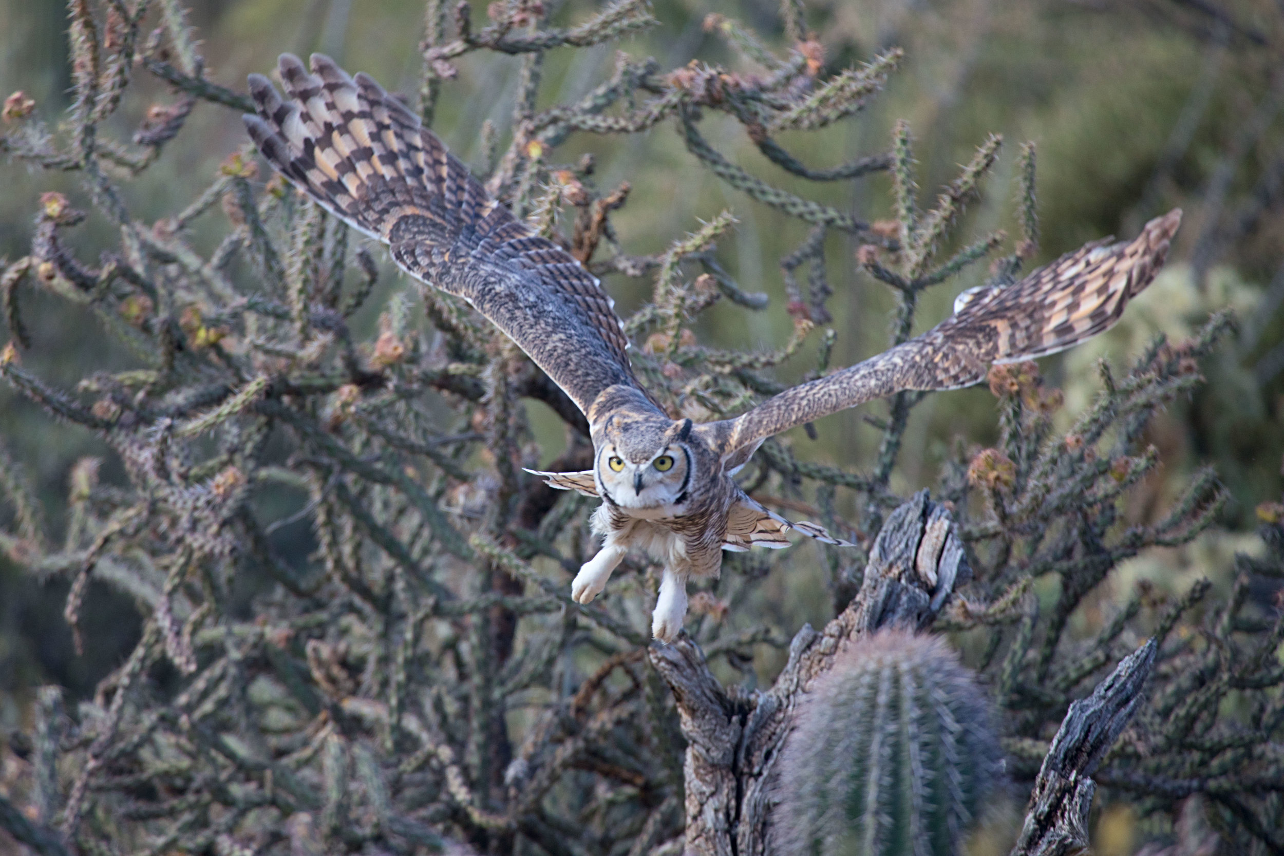
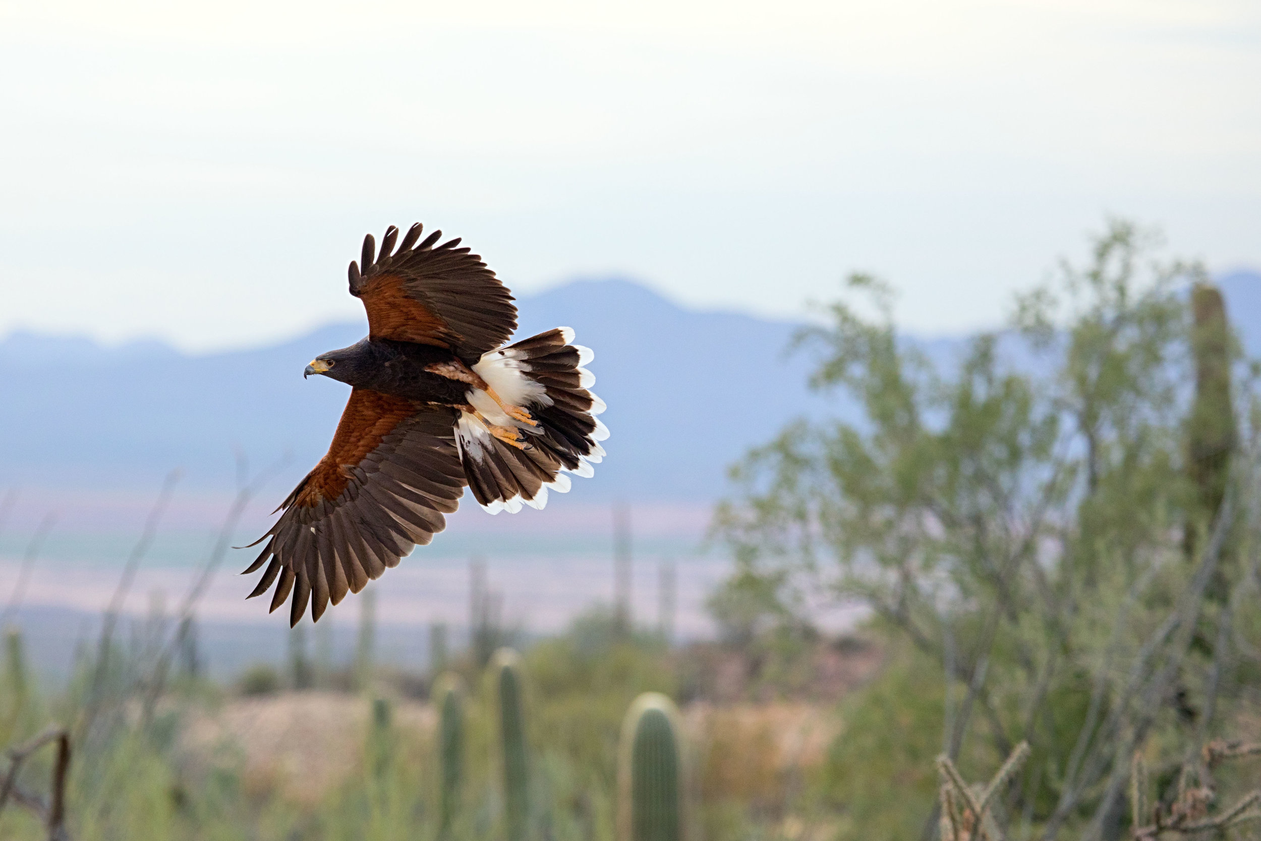
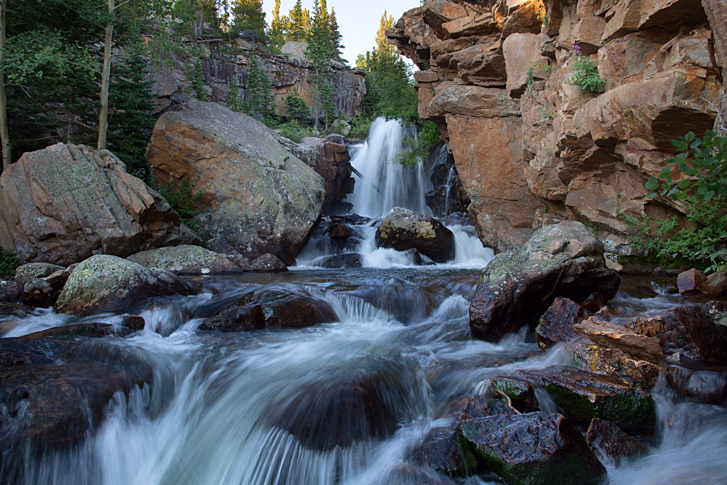
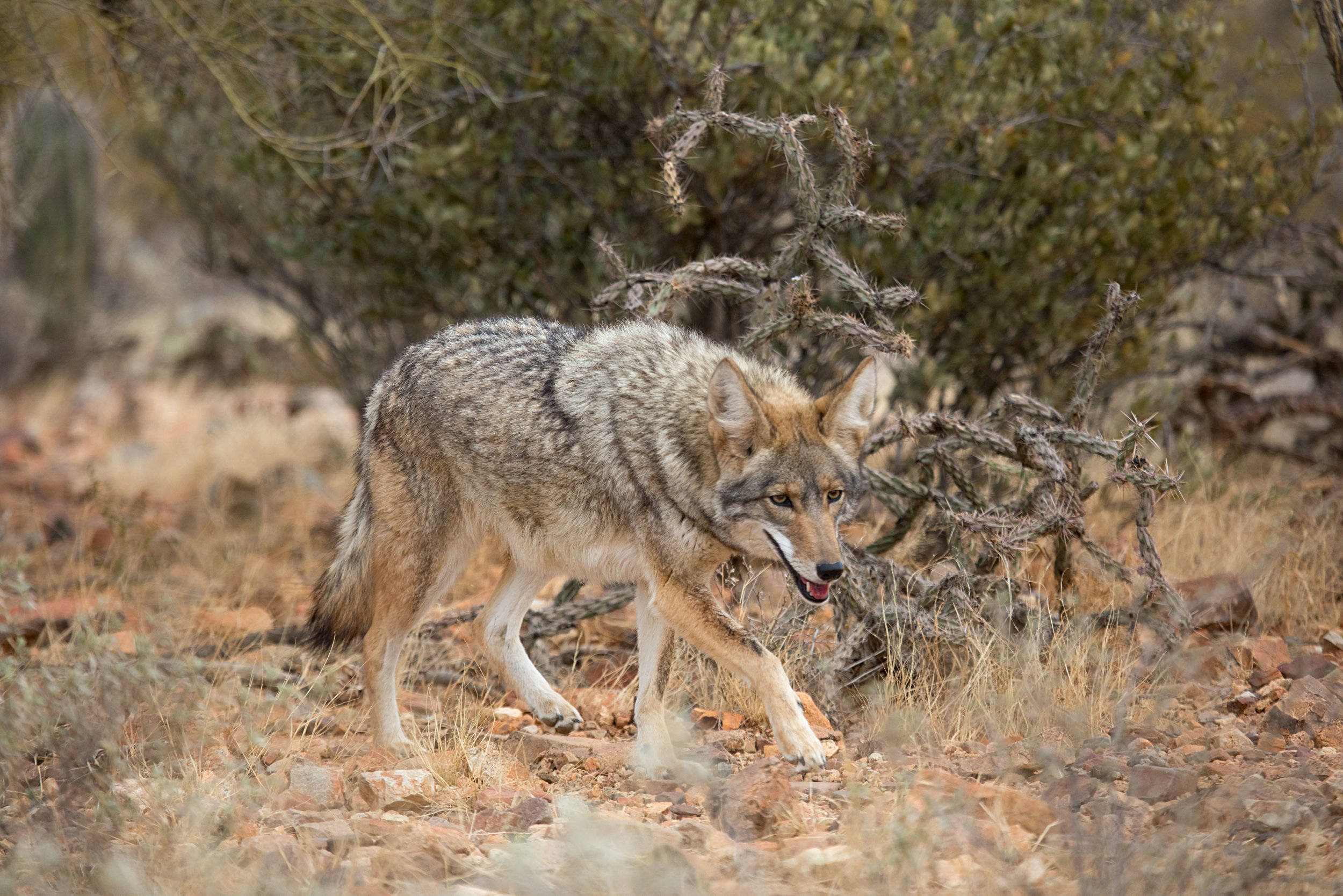
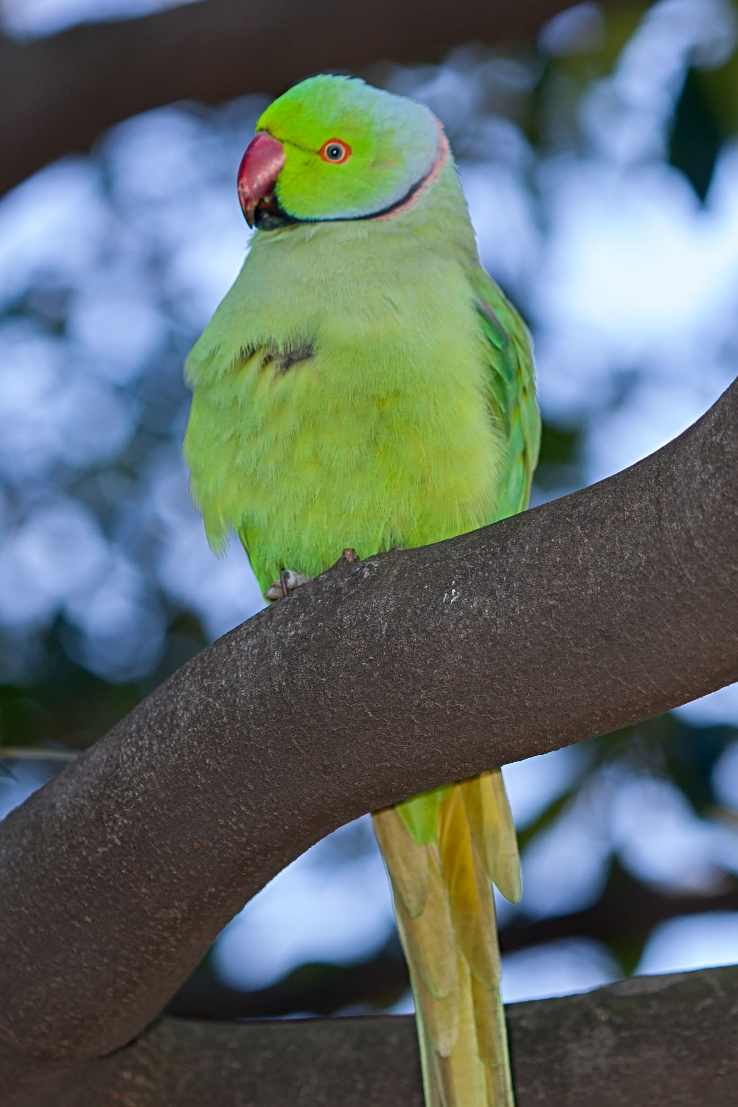
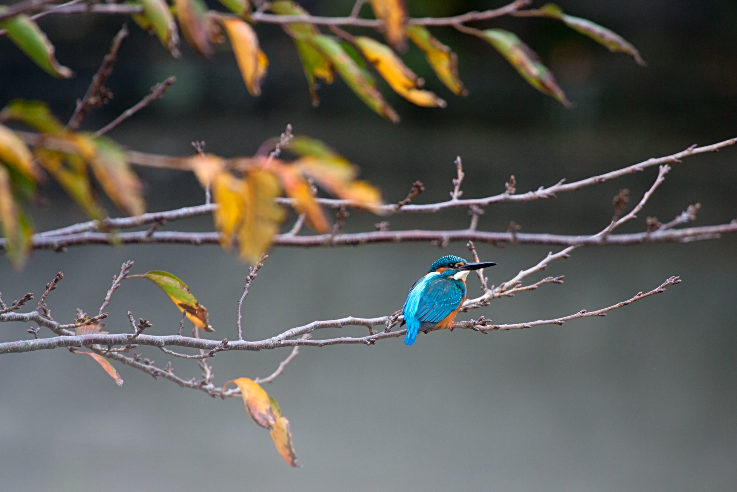
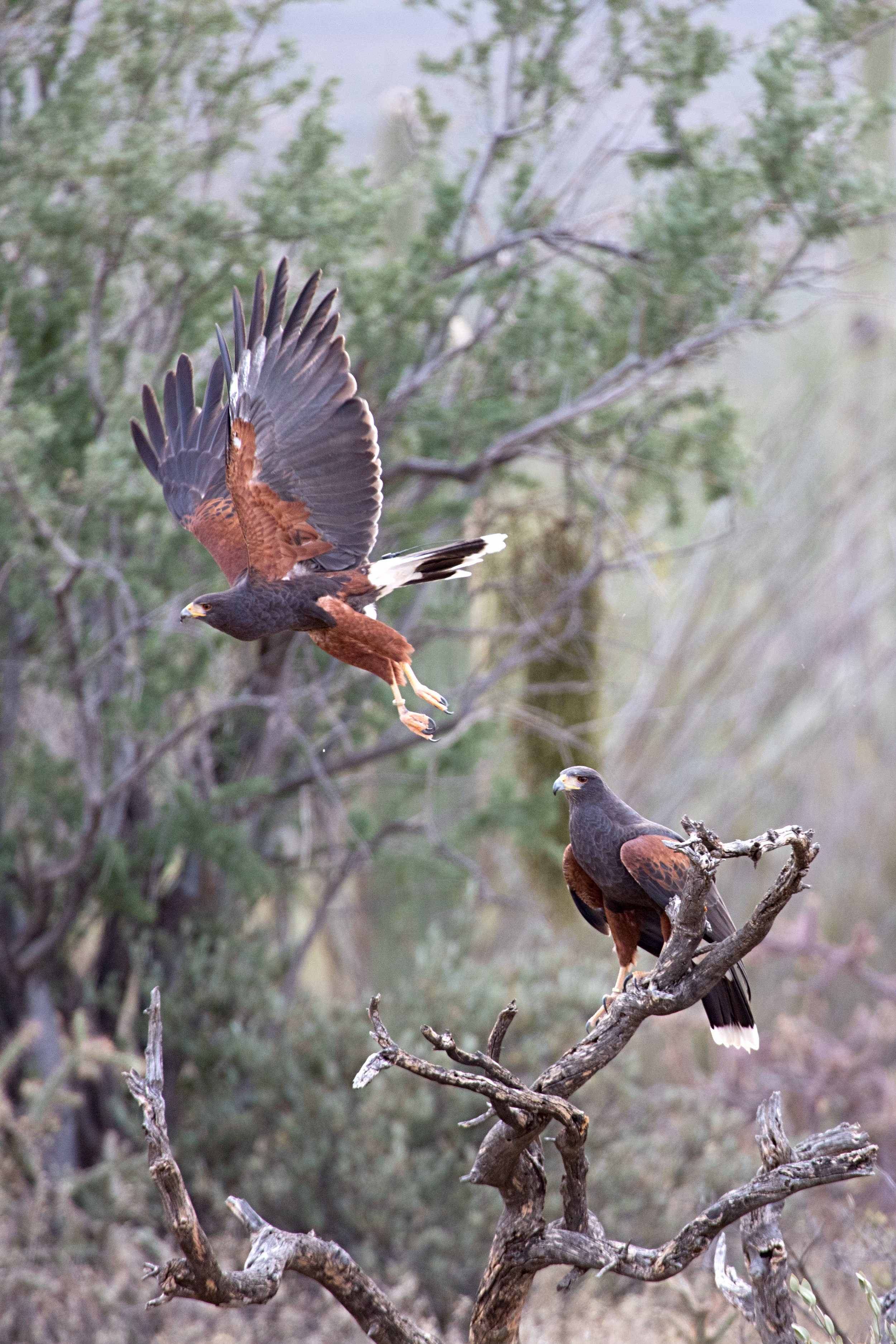
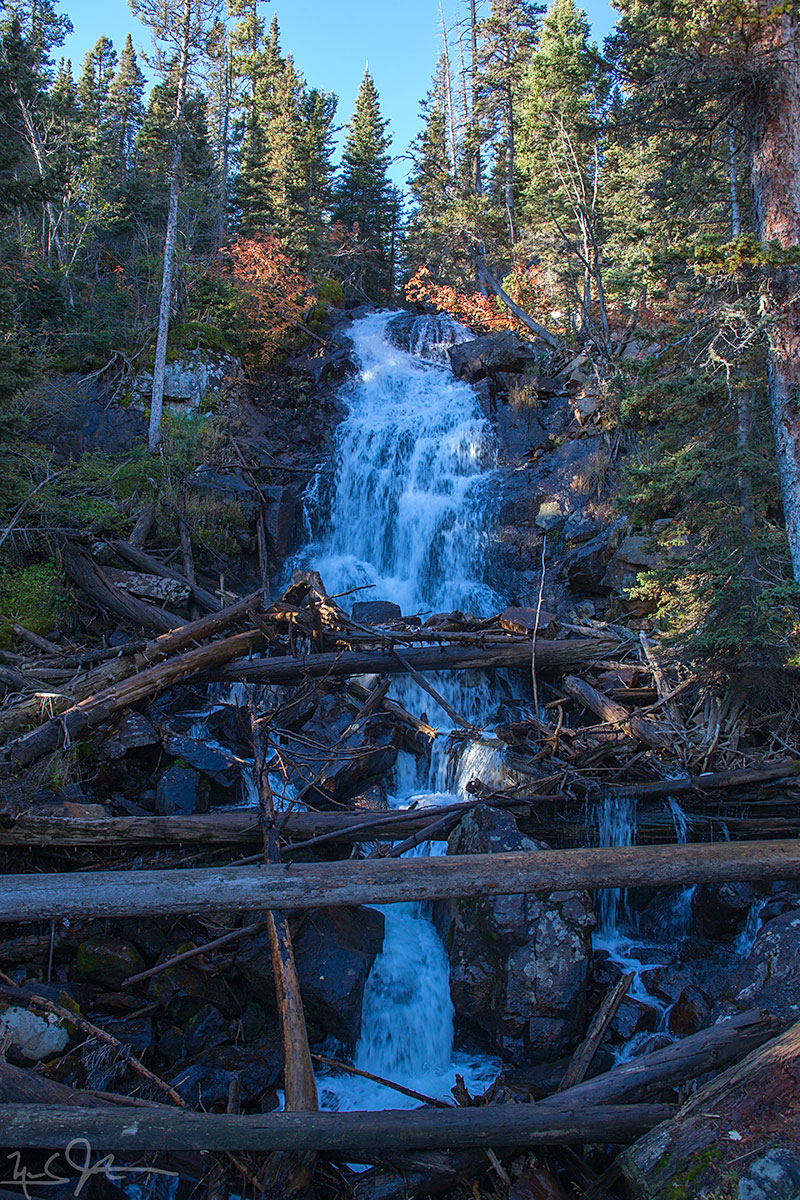
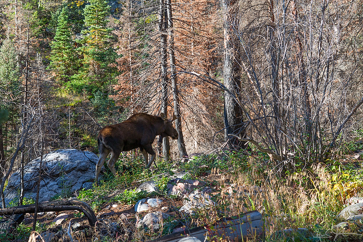
Wildlife & Nature

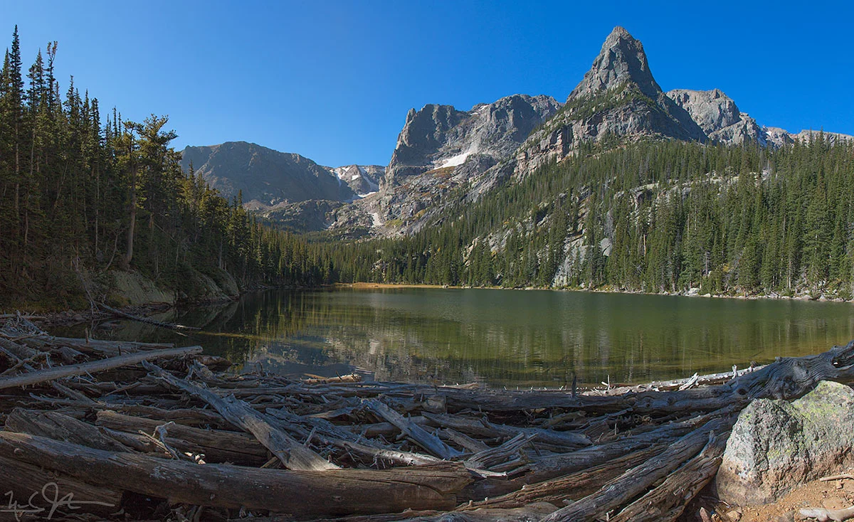
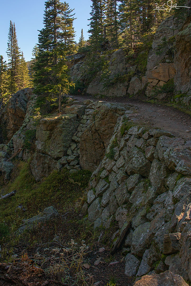
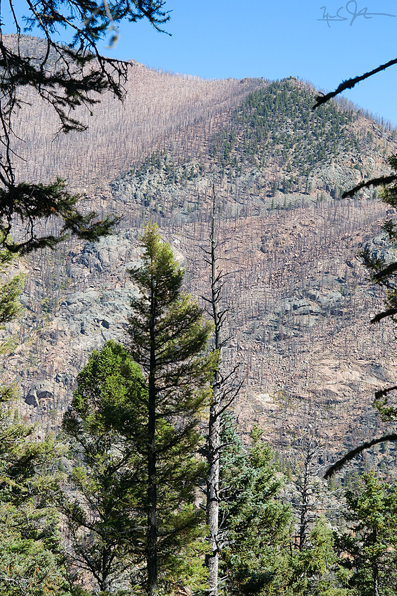
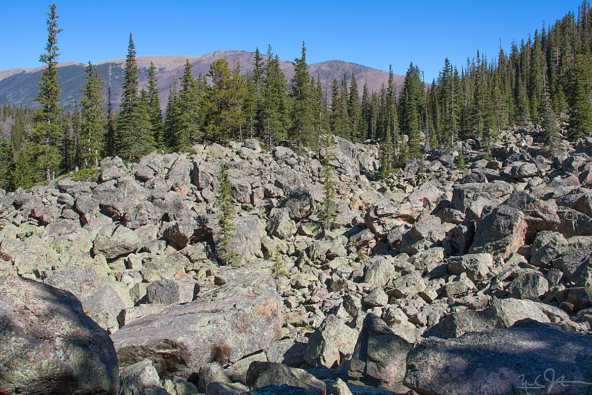
I've added images to the galleries for Rocky Mountain National Park, Raptors, and others.  Want an overview?  Visit the galleries index page.
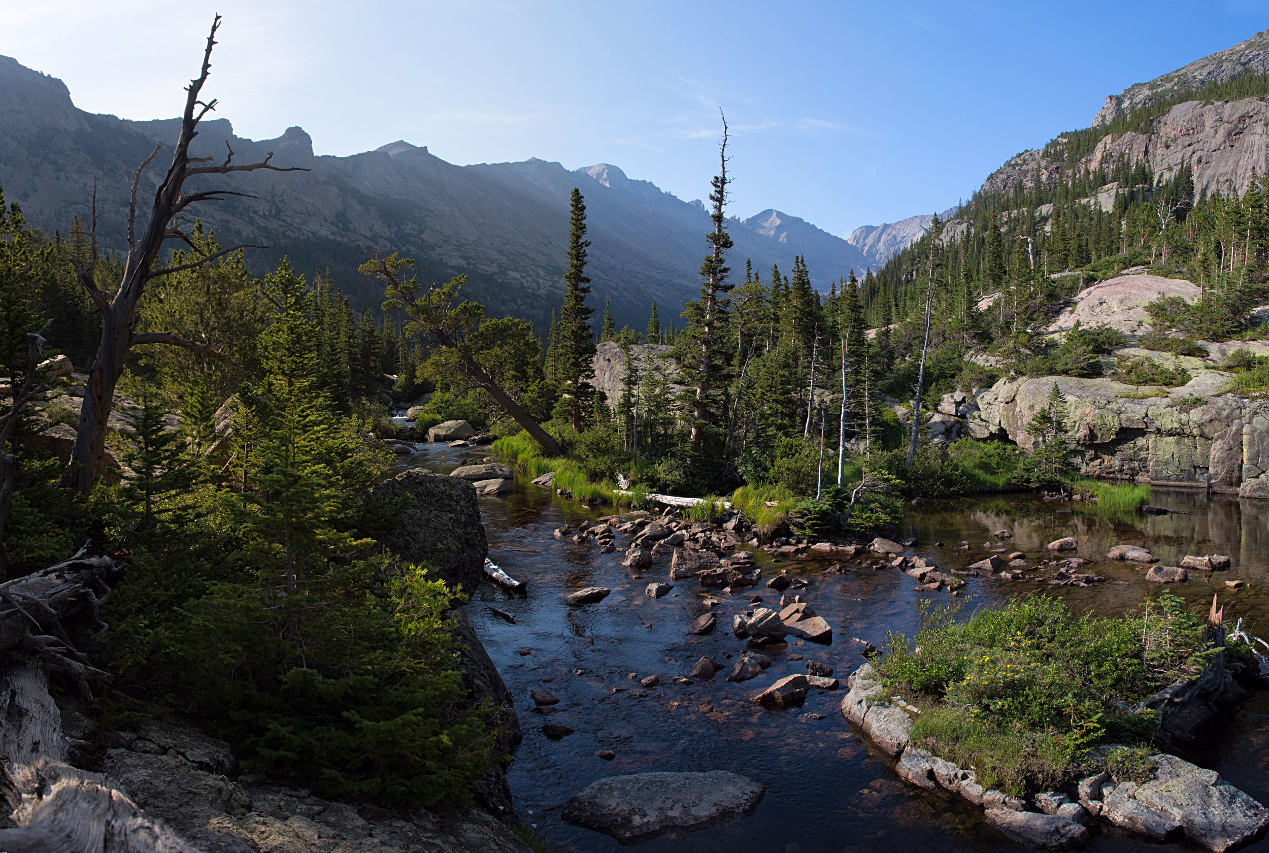
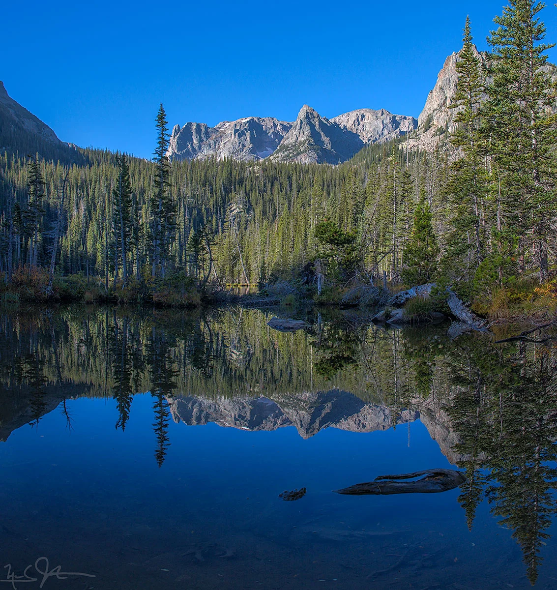
Source: http://galleries.intsysint.com

Amagisan Doro - original music and photo compilation

"Amagisan Doro", written 天城山道路 in Japanese, means "Amagi Mountain Road".  "Amagi" itself is a place name written with the characters 天, meaning "sky" or "heaven", and 城, meaning "castle".  The place is on the backbone of the Izu Peninsula of Japan that lies between Suruga Bay and the Pacific Ocean just south of Mt. Fuji, and about 100 km from Tokyo.

When I lived in Japan, I spent many happy hours hiking among the tall cedars, and along the stone terraces where the famous Japanese radish "wasabi" has been cultivated for hundreds of years.  Wasabi requires plenty of cold, clean water, and the mountain streams that run down out of the highest points in Izu are diverted into cascading stone-walled beds.  The wasabi paste that accompanies sushi and other Japanese fare is made by simply rubbing the root on a rough surface.

The Amagi area is also well-known as the setting for what is commonly regarded as Japan's most famous short story, The Dancing Girl of Izu [伊豆の踊り子].

The music of Amagisan Doro is peaceful and contemplative.  It evokes the sounds of two classical Japanese instruments: the koto, a sort of wooden harp with strings that are plucked, and the shakuhachi, a wooden flute.

The music is accompanied by sequence of photos and videos I captured during my walks in those mountains.  Enjoy!


Fern Lake and Odessa Lake

About 3.8 miles from the Fern Lake trailhead at the west end of Moraine Park, climbing from about 8000 feet to 9,500 feet to reach Fern Lake.  From there it is another mile or so, and another 500 feet of elevation gain, to reach Odessa Lake at just above 10,000 feet.

Fern Lake.  Odessa Lake lies just beneath Notchtop Mountain and the Little Matterhorn, both in the distance at right.

Fern Lake.  Odessa Lake lies just beneath Notchtop Mountain and the Little Matterhorn, both in the distance at right.

Morning sunlight on the canyon walls above the Fern Lake trail.

Morning sunlight on the canyon walls above the Fern Lake trail.

A tributary creek of the Big Thompson River.

A tributary creek of the Big Thompson River.

Fern Falls, elevation 8800 feet.

Fern Falls, elevation 8800 feet.

Great to see this bull moose on the east side of the park!

Great to see this bull moose on the east side of the park!

Notchtop Mountain and the Little Matterhorn reflected in Fern Lake.

Notchtop Mountain and the Little Matterhorn reflected in Fern Lake.

The approach to Odessa Lake along Fern Creek is spectacular - Notchtop Mountain [summit at about 12,160 feet] at center.

The approach to Odessa Lake along Fern Creek is spectacular - Notchtop Mountain [summit at about 12,160 feet] at center.

Odessa Lake, with Notchtop Mountain at center and the Little Matterhorn at right.

Odessa Lake, with Notchtop Mountain at center and the Little Matterhorn at right.

Some excellent trail engineering just below Odessa Lake.

Some excellent trail engineering just below Odessa Lake.

In the Autumn of 2012, the Fern Lake fire raced up both sides of the canyon carrying the upper reaches of the Big Thompson River, burning about 3,500 acres.  It was started by an illegal campfire on October 9th, and was not officially declared …

In the Autumn of 2012, the Fern Lake fire raced up both sides of the canyon carrying the upper reaches of the Big Thompson River, burning about 3,500 acres.  It was started by an illegal campfire on October 9th, and was not officially declared extinguished until the 24th of June 2013, eight and a half months later, when enough snow had melted off the mountain tops to allow confirmation that there were no smoldering remnants still active.  Almost two years later, large swaths of former pine forest remain barren.

It ain't called "The Rockies" for nuthin'.

It ain't called "The Rockies" for nuthin'.